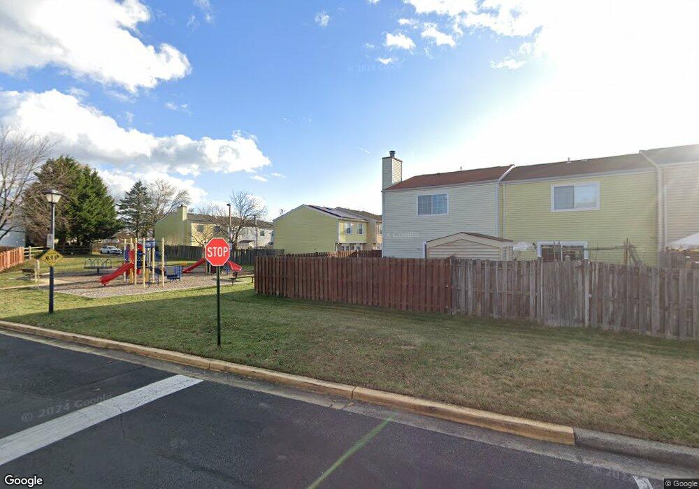
11821 Ashbrook Ct Germantown, MD 20876
Estimated Value: $328,000 - $343,757
3
Beds
2
Baths
1,220
Sq Ft
$276/Sq Ft
Est. Value
About This Home
This home is located at 11821 Ashbrook Ct, Germantown, MD 20876 and is currently estimated at $337,189, approximately $276 per square foot. 11821 Ashbrook Ct is a home located in Montgomery County with nearby schools including Fox Chapel Elementary School, Rocky Hill Middle School, and Clarksburg High.
Ownership History
Date
Name
Owned For
Owner Type
Purchase Details
Closed on
Oct 1, 2010
Sold by
Fox David A and Fox Trish
Bought by
Federal National Mortgage Association
Current Estimated Value
Purchase Details
Closed on
Oct 29, 2004
Sold by
Fox David A
Bought by
Fox David A and Fox Trish
Purchase Details
Closed on
Oct 8, 2002
Sold by
Federal National Mortgage Assc
Bought by
Fox David A
Purchase Details
Closed on
May 29, 2002
Sold by
Buechling Joseph
Bought by
Federal National Mortgage Assc
Purchase Details
Closed on
Apr 8, 1996
Sold by
Sarbaz Mehdi
Bought by
Buechling Joseph
Create a Home Valuation Report for This Property
The Home Valuation Report is an in-depth analysis detailing your home's value as well as a comparison with similar homes in the area
Home Values in the Area
Average Home Value in this Area
Purchase History
| Date | Buyer | Sale Price | Title Company |
|---|---|---|---|
| Federal National Mortgage Association | $255,000 | -- | |
| Fox David A | -- | -- | |
| Fox David A | -- | -- | |
| Fox David A | $129,950 | -- | |
| Federal National Mortgage Assc | $98,000 | -- | |
| Buechling Joseph | $105,000 | -- |
Source: Public Records
Tax History
| Year | Tax Paid | Tax Assessment Tax Assessment Total Assessment is a certain percentage of the fair market value that is determined by local assessors to be the total taxable value of land and additions on the property. | Land | Improvement |
|---|---|---|---|---|
| 2025 | $3,111 | $264,367 | -- | -- |
| 2024 | $3,111 | $239,333 | -- | -- |
| 2023 | $3,496 | $214,300 | $100,000 | $114,300 |
| 2022 | $1,696 | $210,400 | $0 | $0 |
| 2021 | $2,704 | $206,500 | $0 | $0 |
| 2020 | $2,704 | $202,600 | $100,000 | $102,600 |
| 2019 | $1,681 | $192,700 | $0 | $0 |
| 2018 | $1,567 | $182,800 | $0 | $0 |
| 2017 | $1,492 | $172,900 | $0 | $0 |
| 2016 | $2,143 | $169,667 | $0 | $0 |
| 2015 | $2,143 | $166,433 | $0 | $0 |
| 2014 | $2,143 | $163,200 | $0 | $0 |
Source: Public Records
Map
Nearby Homes
- 19301 Midridge Rd
- 19426 Breezedale Ln
- 19221 Staleybridge Rd
- 19525 Gunners Branch Rd Unit G
- 19513 Gunners Branch Rd
- 19625 Gunners Branch Rd Unit 932
- 19625 Gunners Branch Rd Unit F
- 19621 Gunners Branch Rd Unit L
- 9 Plummer Ct
- 12020 Middlebrook Rd
- 19267 Esmond Terrace
- 19312 Plummer Dr
- 19320 Mossbrook Ct
- 11705 Summer Oak Dr
- 12208 Stoney Bottom Rd
- 12219 Stoney Bottom Rd
- 19234 Golden Meadow Dr
- 12407 Hickory Tree Way
- 18841 Summer Oak Ct
- 11111 Weatherburn Place
- 11819 Ashbrook Ct
- 11823 Ashbrook Ct
- 11817 Ashbrook Ct
- 11815 Ashbrook Ct
- 11827 Ashbrook Ct
- 19418 Breezedale Ln
- 11813 Ashbrook Ct
- 19416 Breezedale Ln
- 19420 Breezedale Ln
- 19414 Breezedale Ln
- 11829 Ashbrook Ct
- 19412 Breezedale Ln
- 19410 Breezedale Ln
- 11831 Ashbrook Ct
- 19424 Breezedale Ln
- 19408 Breezedale Ln
- 11833 Ashbrook Ct
- 11809 Ashbrook Ct
- 11835 Ashbrook Ct
- 11807 Ashbrook Ct
Your Personal Tour Guide
Ask me questions while you tour the home.