Estimated Value: $134,956 - $255,000
--
Bed
--
Bath
1,848
Sq Ft
$106/Sq Ft
Est. Value
About This Home
This home is located at 11822 N 1932 Rd, Sayre, OK 73662 and is currently estimated at $194,978, approximately $105 per square foot. 11822 N 1932 Rd is a home with nearby schools including Merritt Elementary School and Merritt High School.
Ownership History
Date
Name
Owned For
Owner Type
Purchase Details
Closed on
Sep 7, 2017
Sold by
Vanderbilt Mortgage And Finance Inc
Bought by
Taylor Tim and Taylor Kathy
Current Estimated Value
Purchase Details
Closed on
Jul 19, 2013
Sold by
Vanderbilt Mortgage And Finance Inc
Bought by
Haws Donald Cameron
Purchase Details
Closed on
Feb 4, 2013
Sold by
Ruckman David and Ruckman Chilloa L
Bought by
Vanderbilt Mortgage And Finance Inc
Purchase Details
Closed on
Jun 22, 2010
Sold by
Ruckman David and Ruckman Chilloa L
Bought by
Vanderbilt Mortgage & Finance Inc
Purchase Details
Closed on
Nov 7, 2008
Sold by
Ruckman David and Ruckna Chilloa
Bought by
Ruckman David
Purchase Details
Closed on
Sep 15, 2008
Sold by
Kennedy Jerry W and Brewning Opal E
Bought by
Ruckman David and Ruckman Chillon
Create a Home Valuation Report for This Property
The Home Valuation Report is an in-depth analysis detailing your home's value as well as a comparison with similar homes in the area
Home Values in the Area
Average Home Value in this Area
Purchase History
| Date | Buyer | Sale Price | Title Company |
|---|---|---|---|
| Taylor Tim | $4,000 | None Available | |
| Haws Donald Cameron | $70,000 | None Available | |
| Vanderbilt Mortgage And Finance Inc | $90,680 | None Available | |
| Vanderbilt Mortgage & Finance Inc | $90,680 | None Available | |
| Ruckman David | -- | None Available | |
| Ruckman David | $5,000 | None Available |
Source: Public Records
Tax History Compared to Growth
Tax History
| Year | Tax Paid | Tax Assessment Tax Assessment Total Assessment is a certain percentage of the fair market value that is determined by local assessors to be the total taxable value of land and additions on the property. | Land | Improvement |
|---|---|---|---|---|
| 2025 | $48 | $600 | $360 | $240 |
| 2024 | $48 | $600 | $360 | $240 |
| 2023 | $49 | $600 | $360 | $240 |
| 2022 | $49 | $600 | $360 | $240 |
| 2021 | $49 | $600 | $600 | $0 |
| 2020 | $51 | $600 | $600 | $0 |
| 2019 | $51 | $600 | $600 | $0 |
| 2018 | $51 | $7,156 | $600 | $6,556 |
| 2017 | $611 | $7,156 | $600 | $6,556 |
| 2016 | $1,362 | $17,014 | $120 | $16,894 |
| 2015 | $1,256 | $16,204 | $120 | $16,084 |
| 2014 | $1,173 | $15,432 | $120 | $15,312 |
Source: Public Records
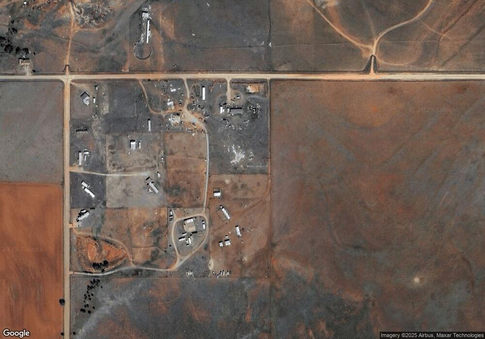
Map
Nearby Homes
- 11802 N 1932 Rd
- 11221 1928 Rd
- 19226 Oklahoma 6
- 0 E 1130 Rd
- 11339 N 1920 Rd
- 19281 Route 66 N
- 19366 E 1130 Rd
- 0 E 1140 Rd
- 10807 N 1960 Rd
- 11250 N 1960 Cir
- 11267 N 1960 Cir
- 11402 N 1957 Rd
- 0 E 1160 Rd Unit Tract 7 1170819
- 4715 W 3rd St
- 11268 N 1975 Rd
- 19604 E 1080 Rd
- 0 N 1970 Rd Unit 1125586
- 0 N 1970 Rd Unit 1125390
- 3 Liberty Ln
- 27 Independence Dr
- 11948 N 1960 Rd
- 11948 N 1960 Rd
- 11205 N 1928 Rd
- 11179 N 1930 Rd
- 11210 N 1928 Rd
- 11211 N 1928 Rd
- 11205 N 1930 Rd
- 11215 N 1930 Rd
- 11223 1928 Rd
- 11121 N 1930 Rd
- 11192 N 1930 Rd
- 11231 N 1928 Rd
- 11230 N 1928 Rd
- 11175 N 1930 Rd
- 11228 N 1930 Rd
- 11233 N 1930 Rd
- 11217 N 1930 Rd
- 11251 N 1930 Rd
- 11245 N 1930 Rd
- 11164 N 1930 Rd