11822 S Range Rd Perkins, OK 74059
Estimated Value: $192,000 - $235,000
2
Beds
2
Baths
1,564
Sq Ft
$138/Sq Ft
Est. Value
About This Home
This home is located at 11822 S Range Rd, Perkins, OK 74059 and is currently estimated at $215,786, approximately $137 per square foot. 11822 S Range Rd is a home located in Payne County with nearby schools including Perkins-Tryon Elementary School, Perkins-Tryon Intermediate Elementary School, and Perkins-Tryon Middle School.
Ownership History
Date
Name
Owned For
Owner Type
Purchase Details
Closed on
Aug 3, 2018
Sold by
Moorman Ft
Bought by
Honegger Austin M
Current Estimated Value
Home Financials for this Owner
Home Financials are based on the most recent Mortgage that was taken out on this home.
Original Mortgage
$64,000
Interest Rate
4.5%
Mortgage Type
Unknown
Purchase Details
Closed on
Feb 16, 2017
Sold by
Moorman John G and Moorman Carolyn J
Bought by
Moorman Clayton L and Moorman Family Trust
Purchase Details
Closed on
Jan 4, 2006
Sold by
Bostian Morine A
Bought by
Moorman Carolyn
Create a Home Valuation Report for This Property
The Home Valuation Report is an in-depth analysis detailing your home's value as well as a comparison with similar homes in the area
Purchase History
| Date | Buyer | Sale Price | Title Company |
|---|---|---|---|
| Honegger Austin M | $80,000 | -- | |
| Moorman Clayton L | -- | None Available | |
| Moorman Carolyn | -- | None Available |
Source: Public Records
Mortgage History
| Date | Status | Borrower | Loan Amount |
|---|---|---|---|
| Previous Owner | Honegger Austin M | $64,000 |
Source: Public Records
Tax History
| Year | Tax Paid | Tax Assessment Tax Assessment Total Assessment is a certain percentage of the fair market value that is determined by local assessors to be the total taxable value of land and additions on the property. | Land | Improvement |
|---|---|---|---|---|
| 2025 | $1,748 | $17,495 | $2,779 | $14,716 |
| 2024 | $1,663 | $17,495 | $2,779 | $14,716 |
| 2023 | $1,663 | $16,662 | $2,979 | $13,683 |
| 2022 | $1,529 | $15,869 | $3,080 | $12,789 |
| 2021 | $1,452 | $15,113 | $3,149 | $11,964 |
| 2020 | $1,385 | $14,394 | $1,887 | $12,507 |
| 2019 | $1,411 | $14,394 | $1,888 | $12,506 |
| 2018 | $1,083 | $11,091 | $1,455 | $9,636 |
| 2017 | $960 | $11,090 | $3,132 | $7,958 |
| 2016 | $939 | $10,768 | $3,342 | $7,426 |
| 2015 | $939 | $10,768 | $3,342 | $7,426 |
| 2014 | $964 | $10,768 | $3,342 | $7,426 |
Source: Public Records
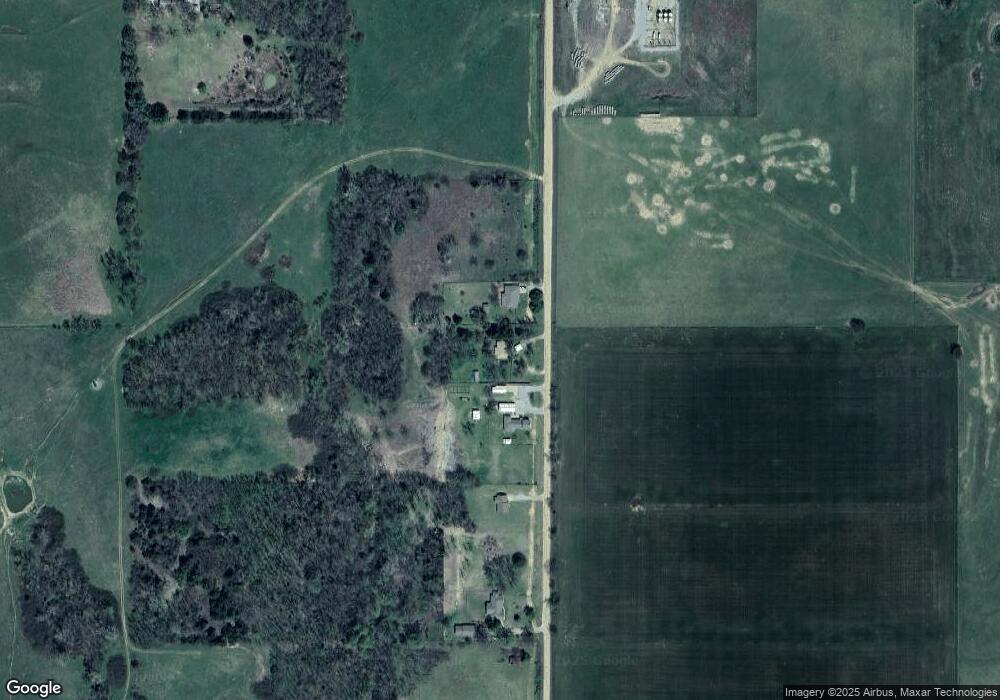
Map
Nearby Homes
- 0003 S Cottonwood Rd
- 0 N 3280 Rd Unit 1209201
- 42Ac Country Club Rd
- Rr
- 2013 W Forest Ridge
- 7507 W 80th St
- 4518 W Laguna Ln
- 4717 W Laguna Ln
- 4726 W Laguna Ln
- Adress TBD W Laguna Ln
- 4417 Laguna Ln
- 208 E 116th St
- Lot 18 W Laguna Ln
- 6311 S Country Club Rd
- 11991 Land Run Dr
- 2700 W 68th St
- 1200 W 80th St
- 7006 Frontier Landing
- 119 E 89th St
- 9722 Coyle Rd
Your Personal Tour Guide
Ask me questions while you tour the home.