Estimated Value: $277,000 - $990,572
Studio
--
Bath
--
Sq Ft
980,100
Sq Ft Lot
About This Home
This home is located at 11823 Walnut Ave, Grant, MI 49327 and is currently estimated at $633,786. 11823 Walnut Ave is a home with nearby schools including Grant Primary Center, Grant Elementary School, and Grant Middle School.
Ownership History
Date
Name
Owned For
Owner Type
Purchase Details
Closed on
Jun 28, 2013
Sold by
Vlastuin Brad and Vlastuin Amanda
Bought by
Thompson Nathan L and Thompson Shannon A
Current Estimated Value
Home Financials for this Owner
Home Financials are based on the most recent Mortgage that was taken out on this home.
Original Mortgage
$300,000
Outstanding Balance
$209,325
Interest Rate
2.99%
Estimated Equity
$424,461
Purchase Details
Closed on
Dec 15, 2006
Sold by
Vlastuin Brad
Bought by
Thompson Nathan L
Create a Home Valuation Report for This Property
The Home Valuation Report is an in-depth analysis detailing your home's value as well as a comparison with similar homes in the area
Purchase History
| Date | Buyer | Sale Price | Title Company |
|---|---|---|---|
| Thompson Nathan L | $87,800 | Lighthouse Title Inc | |
| Thompson Nathan L | -- | Lighthouse Title Inc | |
| Thompson Nathan L | $87,800 | -- |
Source: Public Records
Mortgage History
| Date | Status | Borrower | Loan Amount |
|---|---|---|---|
| Open | Thompson Nathan L | $300,000 | |
| Closed | Thompson Nathan L | $300,000 |
Source: Public Records
Tax History
| Year | Tax Paid | Tax Assessment Tax Assessment Total Assessment is a certain percentage of the fair market value that is determined by local assessors to be the total taxable value of land and additions on the property. | Land | Improvement |
|---|---|---|---|---|
| 2025 | $2,892 | $535,100 | $0 | $0 |
| 2024 | $28 | $501,800 | $0 | $0 |
| 2023 | $2,700 | $430,900 | $0 | $0 |
| 2022 | $6,121 | $396,300 | $0 | $0 |
| 2021 | $6,187 | $369,400 | $0 | $0 |
| 2020 | $6,141 | $336,400 | $0 | $0 |
| 2019 | $6,010 | $303,700 | $0 | $0 |
| 2018 | $6,179 | $247,300 | $0 | $0 |
| 2017 | $6,035 | $224,300 | $0 | $0 |
| 2016 | $5,906 | $221,500 | $0 | $0 |
| 2015 | -- | $212,500 | $0 | $0 |
| 2014 | -- | $70,000 | $0 | $0 |
Source: Public Records
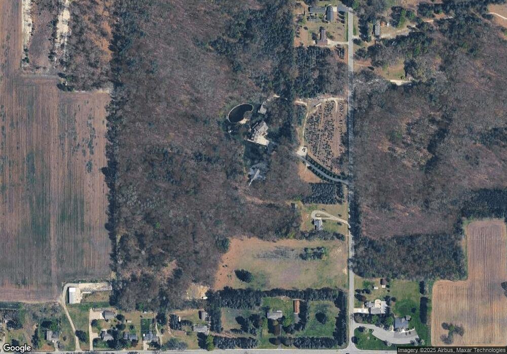
Map
Nearby Homes
- 12449 S Catalpa Ave
- Lot 19 S Elder Ave
- 953 E 136th St
- 151 & 153 Clark St
- 140 E Commerce St
- 11298 S Gordon Ave
- 283 S Jones St
- 500 E 136th St
- 10021 S Mason Dr
- 10041 S Mason Dr
- 9370 S Hannah Ln
- 9500 S Annie Ln
- 9310 Benjamin Dr
- 9425 S Benjamin Dr
- 9680 S Thornapple Ave
- 2580 22 Mile Rd NW
- 177 W 96th St
- 8751 Old Elm Ln
- 859 E Old Pine Trail Unit 63
- 8478 Vista Dr
- 11889 Walnut Ave
- 1545 E 120th St
- 11717 Walnut Ave
- 1493 E 120th St
- 11711 Walnut Ave
- 11958 Walnut Ave
- 11760 Walnut Ave
- 11714 Walnut Ave
- 1463 E 120th St
- 1508 E 120th St
- 11691 Walnut Ave
- 1556 E 120th St
- 1429 E 120th St
- 0 Walnut Ave Unit PAR B 3558536
- 0 Walnut Ave Unit PAR A 3558521
- 11551 Walnut Ave
- 0 Walnut Ave Unit PAR A 3427748
- 0 Walnut Ave
- 0 Walnut Ave
- 11625 Walnut Ave
Your Personal Tour Guide
Ask me questions while you tour the home.