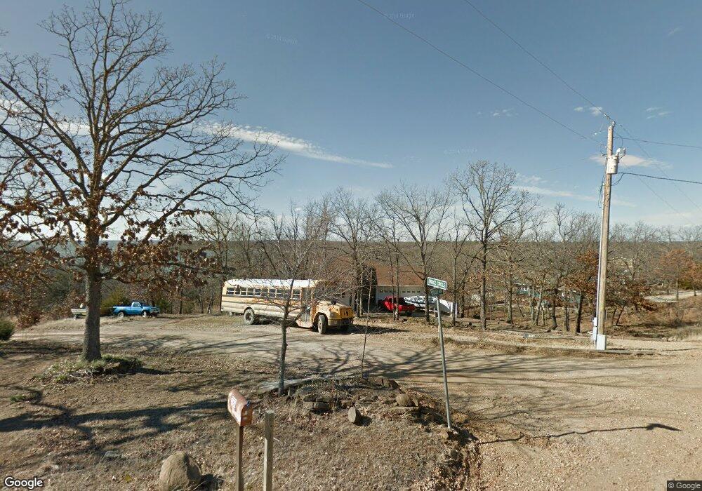
118258 S 4214 Rd Eufaula, OK 74432
Estimated Value: $229,554 - $367,000
3
Beds
2
Baths
1,445
Sq Ft
$203/Sq Ft
Est. Value
About This Home
This home is located at 118258 S 4214 Rd, Eufaula, OK 74432 and is currently estimated at $292,639, approximately $202 per square foot. 118258 S 4214 Rd is a home located in McIntosh County with nearby schools including Eufaula Elementary School, Eufaula Middle School, and Eufaula High School.
Ownership History
Date
Name
Owned For
Owner Type
Purchase Details
Closed on
Apr 26, 2019
Sold by
Graham Barbara
Bought by
Washburn Richard David and Washburn Melissa Anne
Current Estimated Value
Home Financials for this Owner
Home Financials are based on the most recent Mortgage that was taken out on this home.
Original Mortgage
$100,800
Outstanding Balance
$88,441
Interest Rate
4.2%
Mortgage Type
New Conventional
Estimated Equity
$204,198
Create a Home Valuation Report for This Property
The Home Valuation Report is an in-depth analysis detailing your home's value as well as a comparison with similar homes in the area
Home Values in the Area
Average Home Value in this Area
Purchase History
| Date | Buyer | Sale Price | Title Company |
|---|---|---|---|
| Washburn Richard David | $112,000 | Eufaula Abstract & Ttl Co In |
Source: Public Records
Mortgage History
| Date | Status | Borrower | Loan Amount |
|---|---|---|---|
| Open | Washburn Richard David | $100,800 |
Source: Public Records
Tax History Compared to Growth
Tax History
| Year | Tax Paid | Tax Assessment Tax Assessment Total Assessment is a certain percentage of the fair market value that is determined by local assessors to be the total taxable value of land and additions on the property. | Land | Improvement |
|---|---|---|---|---|
| 2025 | $1,383 | $15,791 | $1,045 | $14,746 |
| 2024 | $1,314 | $15,790 | $1,174 | $14,616 |
| 2023 | $1,314 | $14,323 | $824 | $13,499 |
| 2022 | $1,131 | $13,641 | $824 | $12,817 |
| 2021 | $1,090 | $12,991 | $824 | $12,167 |
| 2020 | $1,091 | $12,991 | $824 | $12,167 |
| 2019 | $714 | $12,991 | $824 | $12,167 |
| 2018 | $668 | $8,428 | $824 | $7,604 |
| 2017 | $637 | $7,645 | $824 | $6,821 |
| 2016 | $609 | $7,280 | $824 | $6,456 |
| 2015 | $573 | $6,934 | $824 | $6,110 |
| 2014 | $542 | $6,604 | $824 | $5,780 |
Source: Public Records
Map
Nearby Homes
- 421301 E 1183 Rd
- 248 Patriot Pointe
- 247 Patriot Pointe
- 0 S 4214 Rd Unit 1189594
- 119402 S 4214 Loop
- 242 Patriot Pointe
- 239 Patriot Pointe
- 241 Patriot Pointe
- 240 Patriot Pointe
- Lot 258 Patriot Pointe
- 238 Patriot Pointe
- 229 Patriot Pointe
- 230 Patriot Pointe
- 44 Patriot Pointe
- 54 Patriot Pointe
- 233 Patriot Pointe
- 59 Patriot Pointe
- 6 Patriot Pointe
- 216 Patriot Pointe
- 69 Patriot Pointe
- 118244 S 4214 Rd
- 118274 S 4214 Rd
- 000 S 4214 Rd
- 5025 Rr 4
- 118206 S 4214 Rd
- 421302 E 1183 Rd
- 118192 S 4214 Rd
- 421315 E 1183 Rd
- 421305 E 1183 Rd
- 420815 E 1183 Rd
- 249 Patriot Pointe
- 123 4124 Rd
- 118207 S 4214 Rd
- 0 S 4214 Rd Unit 1714927
- 0 S 4214 Rd Unit 1919917
- 0 S 4214 Rd Unit 1943052
- 0 S 4214 Rd Unit 1944844
- 0 S 4214 Rd Unit 2004652
- 0 S 4214 Rd Unit 2021463
- 0 S 4214 Rd Unit 2041432