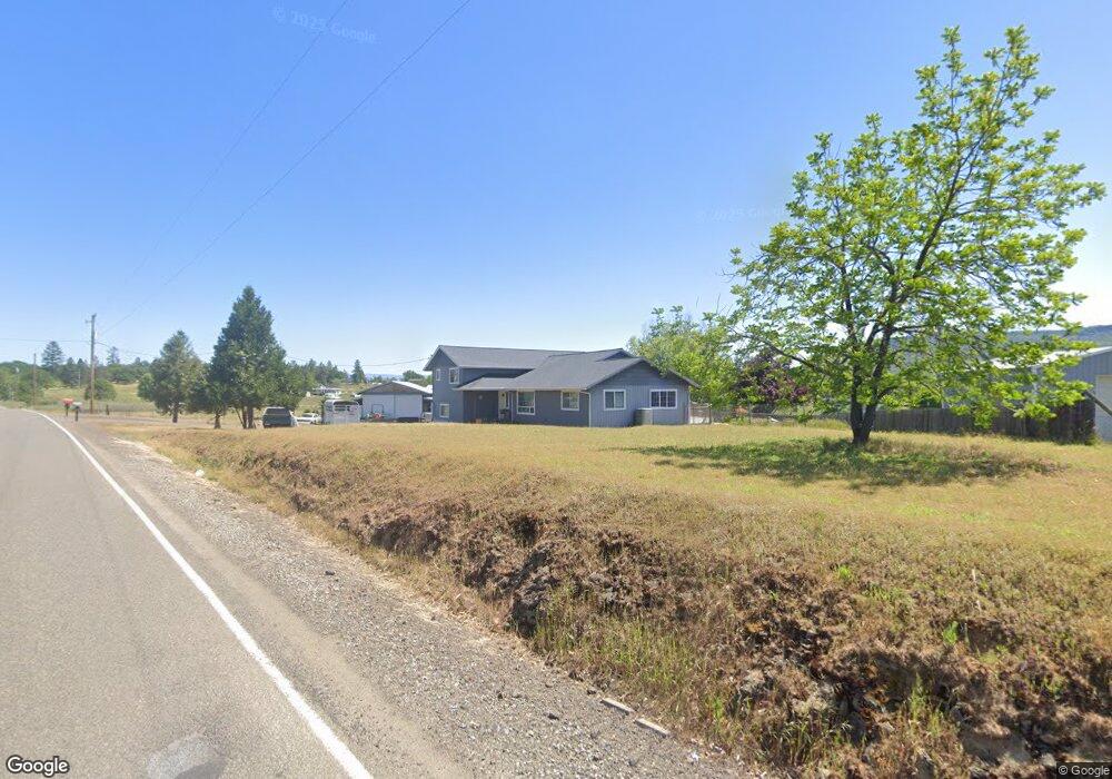
11826 Perry Rd Central Point, OR 97502
Estimated Value: $596,000 - $637,989
3
Beds
2
Baths
2,028
Sq Ft
$301/Sq Ft
Est. Value
About This Home
This home is located at 11826 Perry Rd, Central Point, OR 97502 and is currently estimated at $610,663, approximately $301 per square foot. 11826 Perry Rd is a home located in Jackson County with nearby schools including Sams Valley Elementary School, Hanby Middle School, and Crater High School.
Ownership History
Date
Name
Owned For
Owner Type
Purchase Details
Closed on
May 24, 2007
Sold by
Hicks Debbie L and Wold Debbie L
Bought by
Talburt Donald W and Talburt Sheri W
Current Estimated Value
Home Financials for this Owner
Home Financials are based on the most recent Mortgage that was taken out on this home.
Original Mortgage
$287,200
Outstanding Balance
$170,769
Interest Rate
6.12%
Mortgage Type
Purchase Money Mortgage
Estimated Equity
$439,894
Purchase Details
Closed on
May 10, 2004
Sold by
Jones Jack E
Bought by
Wold Debbie L
Home Financials for this Owner
Home Financials are based on the most recent Mortgage that was taken out on this home.
Original Mortgage
$188,700
Interest Rate
5.5%
Mortgage Type
Purchase Money Mortgage
Create a Home Valuation Report for This Property
The Home Valuation Report is an in-depth analysis detailing your home's value as well as a comparison with similar homes in the area
Purchase History
| Date | Buyer | Sale Price | Title Company |
|---|---|---|---|
| Talburt Donald W | $359,000 | Amerititle | |
| Wold Debbie L | $235,900 | Lawyers Title Ins |
Source: Public Records
Mortgage History
| Date | Status | Borrower | Loan Amount |
|---|---|---|---|
| Open | Talburt Donald W | $287,200 | |
| Previous Owner | Wold Debbie L | $188,700 |
Source: Public Records
Tax History
| Year | Tax Paid | Tax Assessment Tax Assessment Total Assessment is a certain percentage of the fair market value that is determined by local assessors to be the total taxable value of land and additions on the property. | Land | Improvement |
|---|---|---|---|---|
| 2026 | $4,379 | $364,840 | -- | -- |
| 2025 | $4,280 | $354,220 | $145,910 | $208,310 |
| 2024 | $4,280 | $343,910 | $109,500 | $234,410 |
| 2023 | $4,139 | $333,900 | $106,300 | $227,600 |
| 2022 | $4,054 | $333,900 | $106,300 | $227,600 |
| 2021 | $3,940 | $324,180 | $103,200 | $220,980 |
| 2020 | $3,827 | $314,740 | $100,190 | $214,550 |
| 2019 | $3,741 | $296,680 | $94,440 | $202,240 |
| 2018 | $3,627 | $288,040 | $91,690 | $196,350 |
| 2017 | $3,543 | $288,040 | $91,690 | $196,350 |
| 2016 | $3,442 | $271,520 | $86,420 | $185,100 |
| 2015 | $3,318 | $271,520 | $86,420 | $185,100 |
| 2014 | $3,240 | $255,950 | $81,470 | $174,480 |
Source: Public Records
Map
Nearby Homes
- 11615 Michael Rd
- 395 Robleda Dr
- 11220 Duggan Rd
- 0 Duggan Rd Unit 220198974
- 10695 Kildee Ave
- 13290 Table Rock Rd
- 10695 Killdee Ave
- 13007 Perry Rd
- 377 Pelton Ln
- 180 Glass Ln
- 10950 Ramsey Rd
- 0 Antioch Rd Unit TL 407
- 0 Antioch Rd Unit TL 406
- 17150 Antioch Rd
- 0 Winnetka Rd
- 7426 Denman Ct
- 12310 Ramsey Rd
- 3399 Dodge Rd
- 12214 Modoc Rd
- 700 Rogue Wood Dr
- 11823 Perry Rd
- 11803 Perry Rd
- 11800 Perry Rd
- 11813 Perry Rd
- 11833 Perry Rd
- 3330 Sams Valley Hwy
- 11955 Perry Rd
- 3166 Sams Valley Hwy
- 11850 Perry Rd
- 3400 Sams Valley Rd
- 3400 Sams Valley Hwy
- 3400 Sams Valley Hwy
- 5555 Oregon 234
- 3080 Sams Valley Hwy
- 3000 Sams Valley Hwy
- 3217 Sams Valley Hwy
- 3450 Sams Valley Hwy
- 3450 Sams Valley Hwy
- 3000 Sams Valley Rd
- 3465 Sams Valley Hwy
Your Personal Tour Guide
Ask me questions while you tour the home.