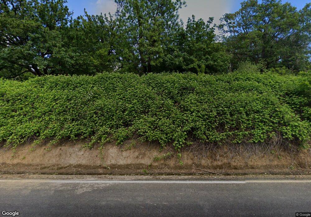
11828 Lower River Rd Grants Pass, OR 97526
Estimated Value: $519,000 - $560,333
4
Beds
3
Baths
2,728
Sq Ft
$198/Sq Ft
Est. Value
About This Home
This home is located at 11828 Lower River Rd, Grants Pass, OR 97526 and is currently estimated at $539,667, approximately $197 per square foot. 11828 Lower River Rd is a home located in Josephine County with nearby schools including Ft. Vannoy Elementary School, Fleming Middle School, and North Valley High School.
Ownership History
Date
Name
Owned For
Owner Type
Purchase Details
Closed on
Jan 23, 2018
Sold by
Day Philip Ryan and Day Christa V
Bought by
City Of Oregon Grants Pass and State Of Oregon
Current Estimated Value
Purchase Details
Closed on
Jan 18, 2018
Sold by
Day Philip Ryan
Bought by
Day Christa V
Purchase Details
Closed on
Nov 30, 2017
Sold by
Day Philip Ryan
Bought by
Day Christa V
Purchase Details
Closed on
Nov 27, 2017
Sold by
Day Philip Ryan
Bought by
Day Christa V
Purchase Details
Closed on
Jul 29, 2011
Sold by
Day Christa V
Bought by
Day Philip Ryan and Day Christa V
Purchase Details
Closed on
Aug 25, 2005
Sold by
Day Alfred K
Bought by
Day Christa Veronika
Create a Home Valuation Report for This Property
The Home Valuation Report is an in-depth analysis detailing your home's value as well as a comparison with similar homes in the area
Home Values in the Area
Average Home Value in this Area
Purchase History
| Date | Buyer | Sale Price | Title Company |
|---|---|---|---|
| City Of Oregon Grants Pass | -- | None Listed On Document | |
| Day Christa V | -- | None Available | |
| Day Christa V | -- | None Listed On Document | |
| Day Christa V | -- | None Available | |
| Day Philip Ryan | -- | None Available | |
| Day Christa Veronika | -- | -- |
Source: Public Records
Tax History Compared to Growth
Tax History
| Year | Tax Paid | Tax Assessment Tax Assessment Total Assessment is a certain percentage of the fair market value that is determined by local assessors to be the total taxable value of land and additions on the property. | Land | Improvement |
|---|---|---|---|---|
| 2025 | $1,695 | $231,300 | -- | -- |
| 2024 | $1,695 | $224,570 | -- | -- |
| 2023 | $1,389 | $218,030 | $0 | $0 |
| 2022 | $1,403 | $211,680 | -- | -- |
| 2021 | $1,316 | $205,520 | $0 | $0 |
| 2020 | $1,372 | $199,540 | $0 | $0 |
| 2019 | $1,318 | $193,730 | $0 | $0 |
| 2018 | $1,337 | $188,090 | $0 | $0 |
| 2017 | $1,336 | $182,620 | $0 | $0 |
| 2016 | $1,136 | $177,310 | $0 | $0 |
| 2015 | $1,098 | $172,150 | $0 | $0 |
| 2014 | $1,071 | $167,140 | $0 | $0 |
Source: Public Records
Map
Nearby Homes
- 11990 Artlin Rd
- 12370 Lower River Rd
- 900 Shadow Hills Dr
- 123 Rogue Riffle Dr
- 484 Shadow Hills Dr
- 2410 Robertson Bridge Rd
- 2093 Robertson Bridge Rd Unit 2100
- 10511 Lower River Rd
- 10523 Lower River Rd
- 175 Quail Ln
- 268 Pickett Creek Rd
- 10517 Lower River Rd
- 2670 Robertson Bridge Rd
- 503 Quail Ln
- 876 Ferry
- 1080 Ferry Rd
- 925 Ferry Rd
- 0 Ferry Rd Unit 104
- 151 Ewe Creek Rd
- 1580 Robertson Bridge Rd
- 11900 Lower River Rd
- 11849 Lower River Rd
- 11705 Lower River Rd
- 12060 Artlin Rd
- 11905 Lower River Rd
- 12000 Artlin Rd
- 11987 Lower River Rd
- 0 Artlin Rd
- 12070 Artlin Rd
- 12296 Lower River Rd
- 12255 Artlin Rd
- 12321 Lower River Rd
- 12200 Artlin Rd
- 12265 Artlin Rd
- 12268 Artlin Rd
- 3175 Robertson Bridge Rd
- 3211 Robertson Bridge Rd
- 3241 Robertson Bridge Rd
- 3081 Robertson Bridge Rd
- 3553 Robertson Bridge Rd
