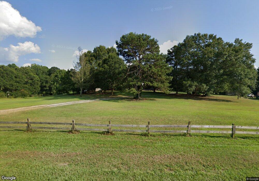
Estimated Value: $221,000 - $276,000
3
Beds
2
Baths
1,695
Sq Ft
$143/Sq Ft
Est. Value
About This Home
This home is located at 1183 McGee Rd, Canon, GA 30520 and is currently estimated at $241,545, approximately $142 per square foot. 1183 McGee Rd is a home located in Franklin County with nearby schools including Franklin County High School.
Ownership History
Date
Name
Owned For
Owner Type
Purchase Details
Closed on
Jun 15, 2016
Sold by
Oliver Christy T
Bought by
Thompson Frank Robert
Current Estimated Value
Home Financials for this Owner
Home Financials are based on the most recent Mortgage that was taken out on this home.
Original Mortgage
$89,900
Outstanding Balance
$71,574
Interest Rate
3.58%
Mortgage Type
VA
Estimated Equity
$169,971
Purchase Details
Closed on
Dec 30, 2013
Sold by
Thompson Robert W
Bought by
Oliver Christy T
Purchase Details
Closed on
Nov 13, 1995
Bought by
Thompson Robert W
Create a Home Valuation Report for This Property
The Home Valuation Report is an in-depth analysis detailing your home's value as well as a comparison with similar homes in the area
Home Values in the Area
Average Home Value in this Area
Purchase History
| Date | Buyer | Sale Price | Title Company |
|---|---|---|---|
| Thompson Frank Robert | -- | -- | |
| Coggins Harry J | $89,900 | -- | |
| Oliver Christy T | -- | -- | |
| Thompson Robert W | -- | -- |
Source: Public Records
Mortgage History
| Date | Status | Borrower | Loan Amount |
|---|---|---|---|
| Open | Coggins Harry J | $89,900 | |
| Closed | Thompson Frank Robert | $89,900 |
Source: Public Records
Tax History Compared to Growth
Tax History
| Year | Tax Paid | Tax Assessment Tax Assessment Total Assessment is a certain percentage of the fair market value that is determined by local assessors to be the total taxable value of land and additions on the property. | Land | Improvement |
|---|---|---|---|---|
| 2024 | $1,275 | $73,554 | $4,090 | $69,464 |
| 2023 | $1,209 | $66,868 | $3,719 | $63,149 |
| 2022 | $1,039 | $60,270 | $2,890 | $57,380 |
| 2021 | $913 | $53,202 | $2,890 | $50,312 |
| 2020 | $952 | $44,242 | $2,890 | $41,352 |
| 2019 | $1,008 | $44,242 | $2,890 | $41,352 |
| 2018 | $872 | $39,183 | $3,624 | $35,559 |
| 2017 | $897 | $38,947 | $3,388 | $35,559 |
| 2016 | $1,003 | $34,382 | $3,772 | $30,610 |
| 2015 | -- | $32,245 | $3,772 | $28,474 |
| 2014 | -- | $32,246 | $3,772 | $28,474 |
Source: Public Records
Map
Nearby Homes
- 4094 Lankford Rd
- 4025 Lankford Rd
- 266 Randall St
- 103 Ross Place
- 90 Old City Park Rd
- 86 Luckie St
- 0 Highway 59 Unit 10615036
- 353 Bow Dr
- 5710 Vickery St
- 5494 Vickery St
- 5474 Vickery St
- 61 Turnbull Rd
- 89 Huntington Dr
- 49 Wright St Unit 65
- 45 Wright St Unit 64
- 57 Wright St Unit 68
- 55 Wright St Unit 67
- 51 Wright St Unit 66
- 0 Unawatti Rd Unit 10613869
- 0 Hwy 59 and Ross Place Unit 10499138
- 1125 McGee Rd
- 1955 Bear Creek Rd
- 1876 Bear Creek Rd
- 1684 Bear Creek Rd
- 1977 Bear Creek Rd
- 2141 Bear Creek Rd
- 1524 McGee Rd
- 743 McGee Rd
- 1322 Bear Creek Rd
- 1616 McGee Rd
- 1616 McGee Fitzpatrick Rd
- 1616 McGee Rd
- 586 Grady School Rd
- 1654 McGee Rd
- 1304 Bear Creek Rd
- 1590 McGee Rd
- 730 McGee Rd
- 1730 McGee Rd
- 588 Grady School Rd
- 584 McGee Rd
