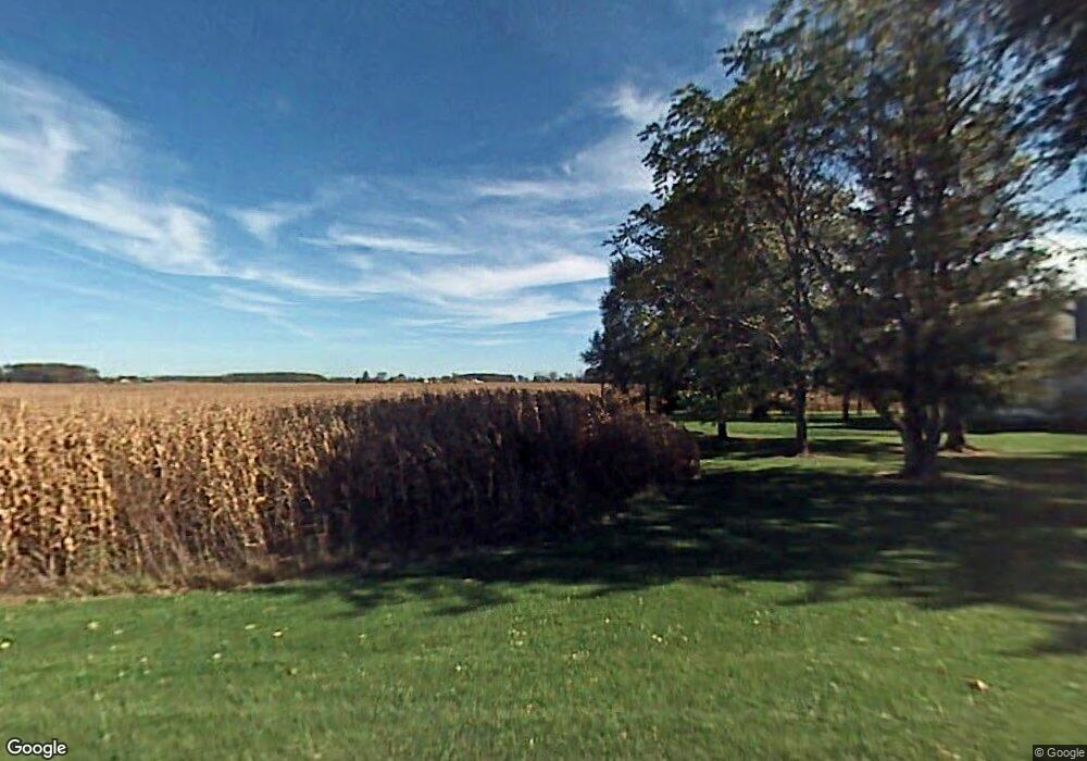
1183 Nieman Rd Dundee, MI 48131
Estimated Value: $241,000 - $398,000
Studio
--
Bath
--
Sq Ft
130,680
Sq Ft Lot
About This Home
This home is located at 1183 Nieman Rd, Dundee, MI 48131 and is currently estimated at $308,382. 1183 Nieman Rd is a home located in Monroe County with nearby schools including Dundee Middle School, Dundee Elementary School, and Dundee Community High School.
Ownership History
Date
Name
Owned For
Owner Type
Purchase Details
Closed on
Oct 25, 2019
Sold by
Eggert Sharon R
Bought by
Sharon R Eggert Living Trust
Current Estimated Value
Create a Home Valuation Report for This Property
The Home Valuation Report is an in-depth analysis detailing your home's value as well as a comparison with similar homes in the area
Home Values in the Area
Average Home Value in this Area
Purchase History
| Date | Buyer | Sale Price | Title Company |
|---|---|---|---|
| Sharon R Eggert Living Trust | -- | None Listed On Document |
Source: Public Records
Tax History
| Year | Tax Paid | Tax Assessment Tax Assessment Total Assessment is a certain percentage of the fair market value that is determined by local assessors to be the total taxable value of land and additions on the property. | Land | Improvement |
|---|---|---|---|---|
| 2025 | $808 | $109,100 | $109,100 | $0 |
| 2024 | $784 | $104,700 | $0 | $0 |
| 2023 | $1,472 | $77,800 | $0 | $0 |
| 2022 | $1,472 | $77,800 | $0 | $0 |
| 2021 | $1,390 | $71,900 | $0 | $0 |
| 2020 | $1,352 | $66,800 | $0 | $0 |
| 2019 | $1,426 | $66,800 | $0 | $0 |
| 2018 | $1,388 | $70,500 | $0 | $0 |
| 2017 | $1,365 | $70,500 | $0 | $0 |
| 2016 | $1,261 | $64,500 | $0 | $0 |
| 2015 | $1,237 | $57,583 | $0 | $0 |
| 2014 | $1,184 | $57,583 | $0 | $0 |
| 2013 | -- | $55,939 | $0 | $0 |
Source: Public Records
Map
Nearby Homes
- Parcel 5 Nieman Rd
- 11075 S Custer Rd
- 11140 S Custer Rd
- 11080 S Custer Rd
- 11020 S Custer Rd
- 11135 S Custer (Lot H)
- 10960 S Custer (Lot O)
- 13493 Dixon Rd
- 8257 Ida West Rd
- 8066 Ida St
- 8344 Westwood St
- 835 Henning St
- 000 Dixon Rd
- 439 E Monroe St
- 2761 Lowe Rd
- 232 Dundee Ridge Dr
- 7600 Dixon Rd
- 671 Elk Ridge Dr
- 190 Sidney St
- 301 White Owl Ln Unit 236
- 1112 Nieman Rd
- 0 Eggert Rd
- 0 Eggert Rd Unit 543282565
- 0 Eggert Rd Unit 23227
- 0 Eggert Rd Unit R214007114
- 0 Eggert Rd Unit G20403892
- 0 Eggert Rd Unit R214057058
- 0 Eggert Rd Unit R214125219
- 0 Eggert Rd Unit R215068799
- 0 Eggert Rd Unit 3282565
- 00 Eggert Rd
- 11445 Eggert Rd
- 12136 Eggert Rd
- 11680 Trost Rd
- Parcel C on survey Eggert Rd
- 00 Trost Rd
- 11550 Trost Rd
- 11809 Trost Rd
- 1659 Neiman Rd
- 12333 Eggert Rd
Your Personal Tour Guide
Ask me questions while you tour the home.