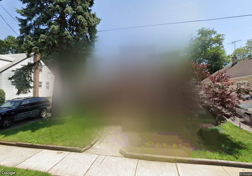
1183 Thomas St Hillside, NJ 07205
Estimated Value: $466,516 - $705,000
--
Bed
--
Bath
2,080
Sq Ft
$274/Sq Ft
Est. Value
About This Home
This home is located at 1183 Thomas St, Hillside, NJ 07205 and is currently estimated at $570,129, approximately $274 per square foot. 1183 Thomas St is a home located in Union County with nearby schools including Abram P. Morris-Saybrook Elementary School, Hurden Looker School, and Ola Edwards Community School.
Ownership History
Date
Name
Owned For
Owner Type
Purchase Details
Closed on
Jan 14, 2000
Sold by
Lenaz John K and Lenaz Ellida Jean
Bought by
Kee Nancy and Parramore Margot
Current Estimated Value
Home Financials for this Owner
Home Financials are based on the most recent Mortgage that was taken out on this home.
Original Mortgage
$137,800
Outstanding Balance
$43,783
Interest Rate
7.84%
Mortgage Type
FHA
Estimated Equity
$526,346
Create a Home Valuation Report for This Property
The Home Valuation Report is an in-depth analysis detailing your home's value as well as a comparison with similar homes in the area
Home Values in the Area
Average Home Value in this Area
Purchase History
| Date | Buyer | Sale Price | Title Company |
|---|---|---|---|
| Kee Nancy | $139,000 | Chicago Title Insurance Co |
Source: Public Records
Mortgage History
| Date | Status | Borrower | Loan Amount |
|---|---|---|---|
| Open | Kee Nancy | $137,800 |
Source: Public Records
Tax History Compared to Growth
Tax History
| Year | Tax Paid | Tax Assessment Tax Assessment Total Assessment is a certain percentage of the fair market value that is determined by local assessors to be the total taxable value of land and additions on the property. | Land | Improvement |
|---|---|---|---|---|
| 2025 | $10,110 | $122,500 | $82,500 | $40,000 |
| 2024 | $9,816 | $122,500 | $82,500 | $40,000 |
| 2023 | $9,816 | $122,500 | $82,500 | $40,000 |
| 2022 | $9,725 | $122,500 | $82,500 | $40,000 |
| 2021 | $9,662 | $122,500 | $82,500 | $40,000 |
| 2020 | $9,605 | $122,500 | $82,500 | $40,000 |
| 2019 | $9,419 | $122,500 | $82,500 | $40,000 |
| 2018 | $9,325 | $122,500 | $82,500 | $40,000 |
| 2017 | $9,268 | $122,500 | $82,500 | $40,000 |
| 2016 | $9,257 | $122,500 | $82,500 | $40,000 |
| 2015 | $9,175 | $122,500 | $82,500 | $40,000 |
| 2014 | $9,031 | $122,500 | $82,500 | $40,000 |
Source: Public Records
Map
Nearby Homes
- 257 Herbert Ave
- 220 Silver Ave
- 292 Crann St
- 314 Fitzpatrick St
- 149 Baltimore Ave
- 507 Locust Ave
- 155 Silver Ave
- 1048 Chester St
- 393 Harvard Ave
- 1282 Baker St
- 1290 Baker St
- 628 Us Highway 22 and 3
- 1322 Marcella Dr
- 420 Hollywood Ave
- 553 Harvard Ave
- 383 Conant St
- 525 Us Highway 22
- 346 Florence Ave
- 1393 Cornell Place
- 537 Us Highway 22
- 1181 Thomas St
- 1187 Thomas St
- 210 Crann St
- 215 Fitzpatrick St
- 203 Fitzpatrick St
- 232 Crann St
- 229 Fitzpatrick St
- 200 Crann St
- 199 Fitzpatrick St
- 1205 Thomas St
- 233 Fitzpatrick St
- 238 Crann St
- 196 Crann St
- 235 Fitzpatrick St
- 195 Fitzpatrick St
- 1167 Thomas St
- 207 Crann St
- 1207 Thomas St
- 205 Crann St
- 239 Fitzpatrick St