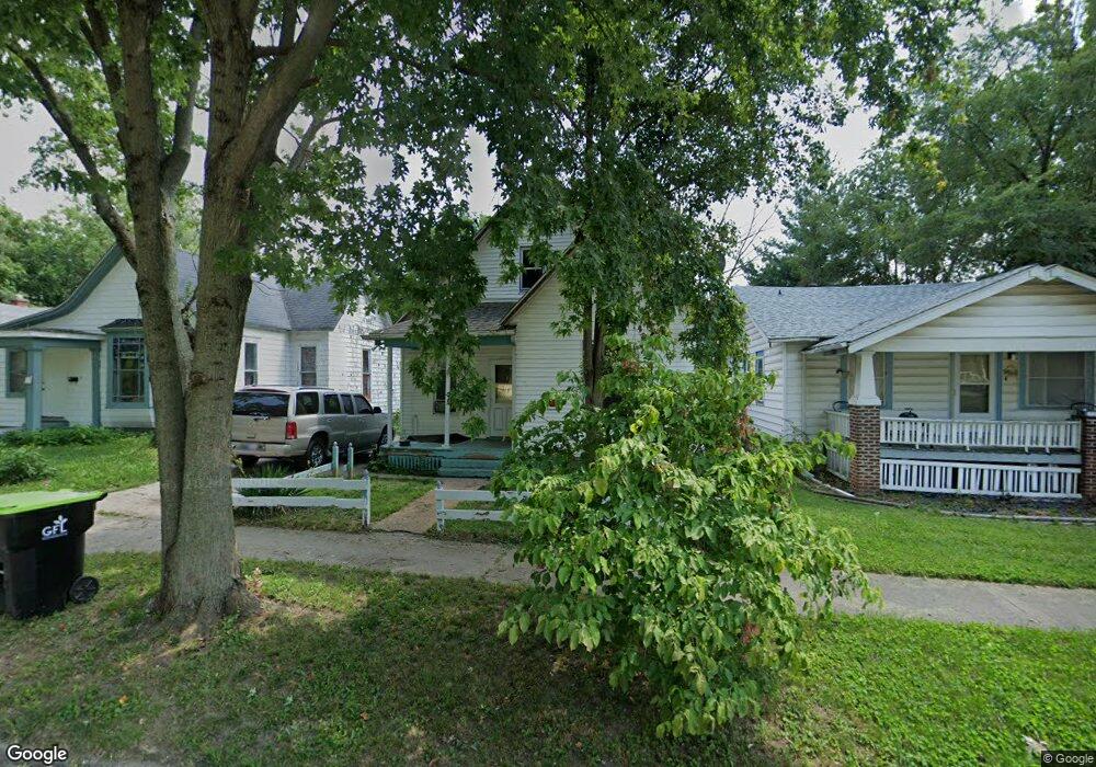
1183 W King St Decatur, IL 62522
Garfield Park NeighborhoodEstimated Value: $35,000 - $51,000
--
Bed
--
Bath
856
Sq Ft
$49/Sq Ft
Est. Value
About This Home
This home is located at 1183 W King St, Decatur, IL 62522 and is currently estimated at $42,192, approximately $49 per square foot. 1183 W King St is a home located in Macon County with nearby schools including Stephen Decatur Middle School, St. Patrick School, and Teen Challenge-Home For Girls.
Ownership History
Date
Name
Owned For
Owner Type
Purchase Details
Closed on
Jan 17, 2025
Sold by
Watson Luella M and Wallace Laquania
Bought by
Watson Luella M and Baker Deangela M
Current Estimated Value
Purchase Details
Closed on
Mar 13, 2024
Sold by
Wallace Laqiuania
Bought by
Watson Luella M and Wallace Laqiuania
Purchase Details
Closed on
Jun 12, 2023
Sold by
Blunt Peggy A
Bought by
Richardson Krystal L
Purchase Details
Closed on
Aug 22, 1984
Create a Home Valuation Report for This Property
The Home Valuation Report is an in-depth analysis detailing your home's value as well as a comparison with similar homes in the area
Home Values in the Area
Average Home Value in this Area
Purchase History
| Date | Buyer | Sale Price | Title Company |
|---|---|---|---|
| Watson Luella M | -- | None Listed On Document | |
| Watson Luella M | -- | None Listed On Document | |
| Richardson Krystal L | -- | None Listed On Document | |
| -- | -- | -- |
Source: Public Records
Tax History Compared to Growth
Tax History
| Year | Tax Paid | Tax Assessment Tax Assessment Total Assessment is a certain percentage of the fair market value that is determined by local assessors to be the total taxable value of land and additions on the property. | Land | Improvement |
|---|---|---|---|---|
| 2024 | $412 | $6,703 | $437 | $6,266 |
| 2023 | -- | $6,466 | $422 | $6,044 |
| 2022 | $0 | $5,928 | $390 | $5,538 |
| 2021 | $0 | $5,537 | $365 | $5,172 |
| 2020 | $0 | $5,281 | $349 | $4,932 |
| 2019 | $0 | $5,281 | $349 | $4,932 |
| 2018 | $0 | $5,736 | $238 | $5,498 |
| 2017 | $0 | $5,889 | $244 | $5,645 |
| 2016 | $0 | $5,949 | $246 | $5,703 |
| 2015 | -- | $5,844 | $242 | $5,602 |
| 2014 | $408 | $6,736 | $1,257 | $5,479 |
| 2013 | $406 | $6,989 | $1,304 | $5,685 |
Source: Public Records
Map
Nearby Homes
- 917 N Wilder Ave
- 1065 W Green St
- 1451 W Marietta St
- 1319 W Waggoner St
- 958 W William St
- 837 W Grand Ave
- 266 Cobb Ave
- 875 N Monroe St
- 1005 W Main St
- 254 N Pine St
- 1645 W Center St
- 1535 N Mcclellan Ave
- 1530 W Cushing St
- 1675 W Center St
- 1415 N Dennis Ave
- 899 W Main St
- 933 W Division St
- 609 W William St
- 717 W Prairie Ave Unit 2
- 415 W Green St
- 1191 W King St
- 1175 W King St
- 1169 W King St
- 1195 W King St
- 1161 W King St
- 1199 W King St
- 1153 W King St
- 1162 W King St
- 1156 W King St
- 1168 W King St
- 1147 W King St
- 1201 W King St
- 1174 W King St
- 1178 W Green St
- 1182 W Green St
- 1188 W Green St
- 1164 W Green St
- 1158 W Green St
- 1180 W King St
- 1196 W Green St