Estimated Value: $121,000 - $178,000
3
Beds
2
Baths
1,392
Sq Ft
$115/Sq Ft
Est. Value
About This Home
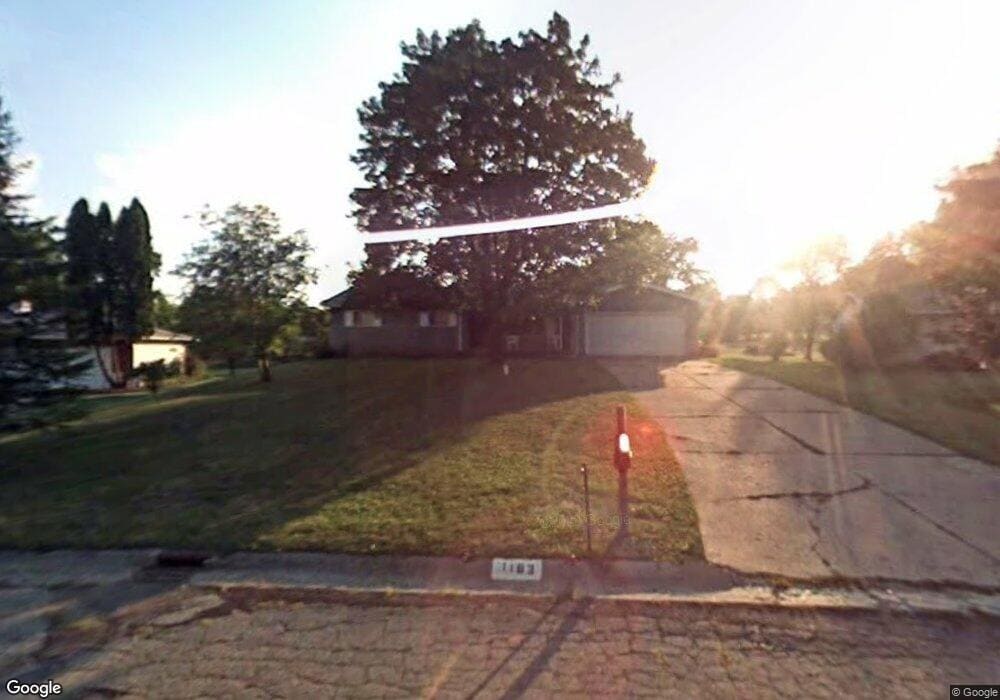
This home is located at 1183 Westwood Dr, Flint, MI 48532 and is currently estimated at $159,752, approximately $114 per square foot. 1183 Westwood Dr is a home located in Genesee County with nearby schools including Carman-Ainsworth High School, Genesee STEM Academy, and Linden Charter Academy.
Ownership History
Date
Name
Owned For
Owner Type
Purchase Details
Closed on
Oct 13, 2016
Sold by
Evans Mark Edward
Bought by
Evans Mark Edward
Current Estimated Value
Purchase Details
Closed on
Nov 14, 2003
Sold by
Evans Mark Edward
Bought by
Evans Mark Edward and Evans Shelia Rachel
Purchase Details
Closed on
Apr 12, 2002
Sold by
Estate Of Gloria A Oldham
Bought by
Evans Mark E
Create a Home Valuation Report for This Property
The Home Valuation Report is an in-depth analysis detailing your home's value as well as a comparison with similar homes in the area
Home Values in the Area
Average Home Value in this Area
Purchase History
| Date | Buyer | Sale Price | Title Company |
|---|---|---|---|
| Evans Mark Edward | -- | None Available | |
| Evans Mark Edward | -- | -- | |
| Evans Mark E | $108,500 | Sargents Title Company |
Source: Public Records
Tax History Compared to Growth
Tax History
| Year | Tax Paid | Tax Assessment Tax Assessment Total Assessment is a certain percentage of the fair market value that is determined by local assessors to be the total taxable value of land and additions on the property. | Land | Improvement |
|---|---|---|---|---|
| 2025 | $2,497 | $68,900 | $0 | $0 |
| 2024 | $1,255 | $60,600 | $0 | $0 |
| 2023 | $1,172 | $50,500 | $0 | $0 |
| 2022 | $1,105 | $46,300 | $0 | $0 |
| 2021 | $2,085 | $44,500 | $0 | $0 |
| 2020 | $1,041 | $42,900 | $0 | $0 |
| 2019 | $1,029 | $39,200 | $0 | $0 |
| 2018 | $2,006 | $37,000 | $0 | $0 |
| 2017 | $2,169 | $37,000 | $0 | $0 |
| 2016 | $1,988 | $35,600 | $0 | $0 |
| 2015 | $1,361 | $35,600 | $0 | $0 |
| 2014 | $807 | $34,200 | $0 | $0 |
| 2012 | -- | $37,400 | $37,400 | $0 |
Source: Public Records
Map
Nearby Homes
- 2174 Mill Rd
- 1090 Cabot Dr
- 1058 Cora Dr
- 1159 N Linden Rd
- 5021 Forest Side Dr
- 4022 Beecher Rd
- Graham Rd N Graham Rd
- 1068 S Graham Rd
- 5104 Shady Oak Trail
- 3528 Beecher Rd
- 1193 Normandy Terrace Dr
- 2051 Lavelle Rd
- 1246 Dyemeadow Ln
- 2008 Beekman Ct
- 1136 Gilbert St
- 2 Charter Dr
- 1260 Gilbert St
- 1391 Dye Krest Cir
- 3360 Beecher Rd
- 3350 Beecher Rd
- 1191 Westwood Dr
- 1177 Westwood Dr
- 1169 Westwood Dr
- 1209 Westwood Dr
- 1257 Heathercrest Dr
- 1225 Westwood Dr
- 1161 Westwood Dr
- 1233 Westwood Dr
- 1198 Westwood Dr
- 1208 Westwood Dr
- 1271 Heathercrest Dr
- 4245 Post Dr
- 1245 Westwood Dr
- 1254 Heathercrest Dr
- 1151 Westwood Dr
- 1343 Donal Dr
- 1264 Heathercrest Dr
- 4255 Post Dr
- 1216 Westwood Dr
- 1283 Heathercrest Dr