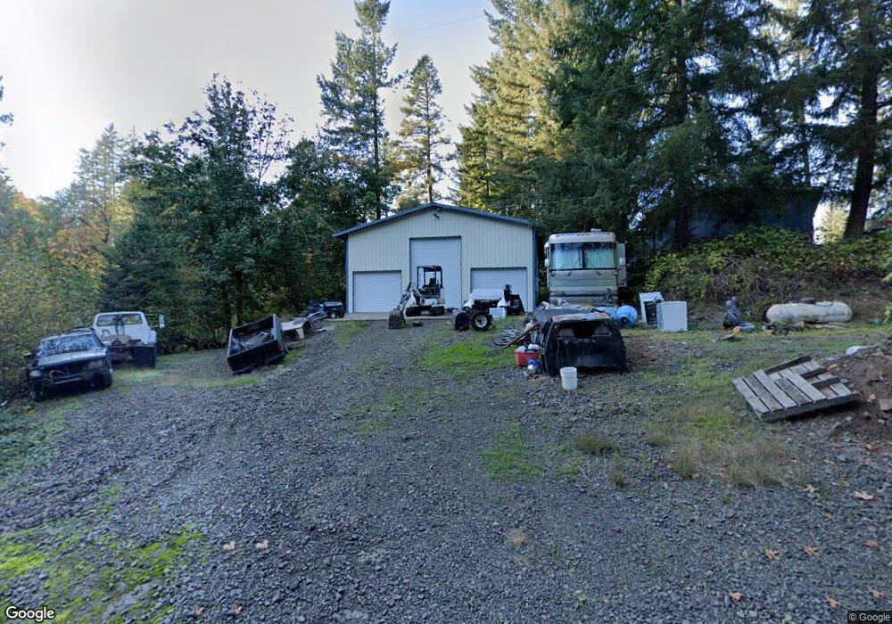
11831 S Wildcat Rd Molalla, OR 97038
Estimated Value: $479,005 - $570,000
3
Beds
2
Baths
1,750
Sq Ft
$307/Sq Ft
Est. Value
About This Home
This home is located at 11831 S Wildcat Rd, Molalla, OR 97038 and is currently estimated at $538,002, approximately $307 per square foot. 11831 S Wildcat Rd is a home located in Clackamas County.
Ownership History
Date
Name
Owned For
Owner Type
Purchase Details
Closed on
Sep 11, 1997
Sold by
Garrity Lewis H and Garrity Vivian D
Bought by
Sandquist Darrel Anthony
Current Estimated Value
Home Financials for this Owner
Home Financials are based on the most recent Mortgage that was taken out on this home.
Original Mortgage
$71,250
Interest Rate
7.54%
Purchase Details
Closed on
Sep 9, 1997
Sold by
Sandquist Darrel Anthony and Sandquist Darrel A
Bought by
Griner James and Griner Kelli S
Home Financials for this Owner
Home Financials are based on the most recent Mortgage that was taken out on this home.
Original Mortgage
$71,250
Interest Rate
7.54%
Create a Home Valuation Report for This Property
The Home Valuation Report is an in-depth analysis detailing your home's value as well as a comparison with similar homes in the area
Home Values in the Area
Average Home Value in this Area
Purchase History
| Date | Buyer | Sale Price | Title Company |
|---|---|---|---|
| Sandquist Darrel Anthony | $35,000 | Transnation Title Insurance | |
| Griner James | $58,500 | Transnation Title Insurance |
Source: Public Records
Mortgage History
| Date | Status | Borrower | Loan Amount |
|---|---|---|---|
| Closed | Griner James | $71,250 |
Source: Public Records
Tax History Compared to Growth
Tax History
| Year | Tax Paid | Tax Assessment Tax Assessment Total Assessment is a certain percentage of the fair market value that is determined by local assessors to be the total taxable value of land and additions on the property. | Land | Improvement |
|---|---|---|---|---|
| 2025 | $2,168 | $161,395 | -- | -- |
| 2024 | $2,100 | $156,696 | -- | -- |
| 2023 | $2,100 | $152,133 | $0 | $0 |
| 2022 | $1,756 | $147,702 | $0 | $0 |
| 2021 | $1,680 | $143,399 | $0 | $0 |
| 2020 | $1,637 | $139,222 | $0 | $0 |
| 2019 | $1,590 | $135,169 | $0 | $0 |
| 2018 | $1,548 | $131,234 | $0 | $0 |
| 2017 | $1,507 | $127,410 | $0 | $0 |
| 2016 | $1,418 | $123,700 | $0 | $0 |
| 2015 | $1,366 | $120,097 | $0 | $0 |
| 2014 | $1,289 | $116,599 | $0 | $0 |
Source: Public Records
Map
Nearby Homes
- 9924 S Wildcat Rd
- 35267 S Acer Ln
- 10285 S Rosewood Way
- 0 S Wilhoit Rd
- 36175 S Highway 213
- 36451 S Sawtell Rd Unit 16
- 36451 S Sawtell Rd Unit 10
- 36451 S Sawtell Rd
- 0 Crooked Finger Rd NE Unit 827344
- 0 Crooked Finger Rd NE Unit 265826977
- 000 Crooked Finger Rd NE
- Lot 1600 Crooked Finger Rd NE
- 0 Off of Crooked Finge Rd
- 37658 S Highway 213
- 37486 S Highway 213 (Adj To)
- 37486 S Hwy 213 (Adj To)
- 7138 Grandview Ave
- 7118 Grandview Ave
- 35517 S Aqua Springs Rd
- 37212 S Sawtell Rd
- 12000 S Quinn Rd
- 11786 S Wildcat Rd
- 36720 S Blair Rd
- 11550 S Wildcat Rd
- 36550 S Blair Rd
- 11498 S Wildcat Rd
- 36578 S Blair Rd
- 36650 S Blair Rd
- 12202 S Quinn Rd
- 12201 S Quinn Rd
- 11992 S Wildcat Rd
- 11916 S Wildcat Rd
- 12012 S Wildcat Rd
- 36951 S Blair Rd
- 36880 S Blair Rd
- 11616 S Wildcat Rd
- 12232 S Quinn Rd
- 11941 S Wildcat Rd
- 11331 S Wildcat Rd
- 11939 S Wildcat Rd