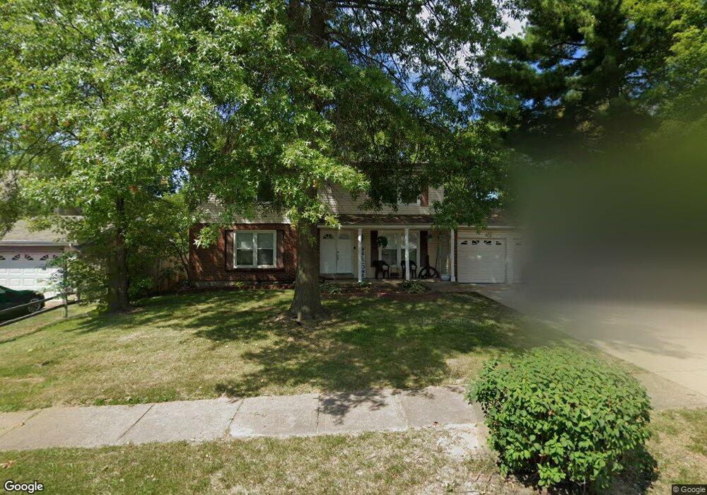
11833 Branridge Rd Florissant, MO 63033
Estimated Value: $226,000 - $238,000
4
Beds
3
Baths
2,184
Sq Ft
$106/Sq Ft
Est. Value
About This Home
This home is located at 11833 Branridge Rd, Florissant, MO 63033 and is currently estimated at $232,073, approximately $106 per square foot. 11833 Branridge Rd is a home located in St. Louis County with nearby schools including Jury Elementary School, Central Middle School, and Hazelwood Central High School.
Ownership History
Date
Name
Owned For
Owner Type
Purchase Details
Closed on
Jun 14, 2011
Sold by
Bryant Yvonne D
Bought by
Clear Canyon Llc
Current Estimated Value
Home Financials for this Owner
Home Financials are based on the most recent Mortgage that was taken out on this home.
Original Mortgage
$46,500
Outstanding Balance
$32,221
Interest Rate
4.74%
Mortgage Type
Purchase Money Mortgage
Estimated Equity
$199,852
Create a Home Valuation Report for This Property
The Home Valuation Report is an in-depth analysis detailing your home's value as well as a comparison with similar homes in the area
Home Values in the Area
Average Home Value in this Area
Purchase History
| Date | Buyer | Sale Price | Title Company |
|---|---|---|---|
| Clear Canyon Llc | $40,000 | None Available |
Source: Public Records
Mortgage History
| Date | Status | Borrower | Loan Amount |
|---|---|---|---|
| Open | Clear Canyon Llc | $46,500 |
Source: Public Records
Tax History Compared to Growth
Tax History
| Year | Tax Paid | Tax Assessment Tax Assessment Total Assessment is a certain percentage of the fair market value that is determined by local assessors to be the total taxable value of land and additions on the property. | Land | Improvement |
|---|---|---|---|---|
| 2025 | $3,356 | $42,600 | $5,170 | $37,430 |
| 2024 | $3,356 | $37,220 | $3,460 | $33,760 |
| 2023 | $3,348 | $37,220 | $3,460 | $33,760 |
| 2022 | $3,088 | $29,280 | $4,480 | $24,800 |
| 2021 | $2,954 | $29,280 | $4,480 | $24,800 |
| 2020 | $2,805 | $26,200 | $3,970 | $22,230 |
| 2019 | $2,766 | $26,200 | $3,970 | $22,230 |
| 2018 | $2,411 | $21,090 | $2,740 | $18,350 |
| 2017 | $2,408 | $21,090 | $2,740 | $18,350 |
| 2016 | $2,320 | $19,950 | $3,100 | $16,850 |
| 2015 | $2,268 | $19,950 | $3,100 | $16,850 |
| 2014 | $2,040 | $17,840 | $3,360 | $14,480 |
Source: Public Records
Map
Nearby Homes
- 11466 Granger Trail
- 4950 Patricia Ridge Dr
- 11951 Jerries Ln
- 4497 Rhine Dr
- 11636 MacRinus Dr
- 11519 Galba Dr
- 11707 MacRinus Dr
- 4493 Caracalla Dr
- 4471 Rhine Dr
- 11869 Galba Dr
- 11767 MacRinus Dr
- 12062 Cato Dr
- 2628 Hadden Dr
- 11565 Mehl Ave
- 11221 Sugartrail Dr
- 11100 Landseer Dr
- 2449 Forest Shadows Dr
- 2419 Forest Shadows Dr
- 2355 Redman Rd
- 5348 Trailoaks Dr
- 11823 Branridge Rd
- 11843 Branridge Rd
- 11830 Brampton Hunt Rd
- 5279 Priorybrook Rd
- 11820 Brampton Hunt Rd
- 11840 Brampton Hunt Rd
- 11853 Branridge Rd
- 5259 Priorybrook Rd
- 11832 Branridge Rd
- 11822 Branridge Rd
- 11842 Branridge Rd
- 11850 Brampton Hunt Rd
- 5249 Priorybrook Rd
- 5319 Priorybrook Rd
- 11852 Branridge Rd
- 11863 Branridge Rd
- 11827 Beckett Fall Rd
- 11872 Branridge Rd
- 11837 Beckett Fall Rd
- 11817 Beckett Fall Rd