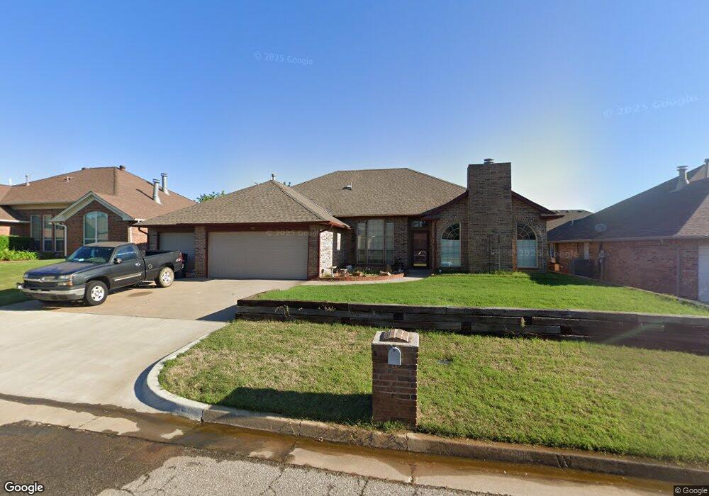
11833 SW 2nd St Yukon, OK 73099
West Watch NeighborhoodEstimated Value: $278,000 - $326,000
4
Beds
2
Baths
2,506
Sq Ft
$118/Sq Ft
Est. Value
About This Home
This home is located at 11833 SW 2nd St, Yukon, OK 73099 and is currently estimated at $295,869, approximately $118 per square foot. 11833 SW 2nd St is a home located in Canadian County with nearby schools including Mustang Creek Elementary School, Meadow Brook Intermediate School, and Mustang Central Middle School.
Ownership History
Date
Name
Owned For
Owner Type
Purchase Details
Closed on
Jun 14, 2006
Sold by
Rogers Ricky L and Rogers Kenna
Bought by
Weed Walter B and Weed Judy K
Current Estimated Value
Home Financials for this Owner
Home Financials are based on the most recent Mortgage that was taken out on this home.
Original Mortgage
$125,000
Outstanding Balance
$73,449
Interest Rate
6.56%
Mortgage Type
New Conventional
Estimated Equity
$222,420
Purchase Details
Closed on
May 10, 1996
Sold by
J D Powers Const Llc
Purchase Details
Closed on
Feb 23, 1996
Sold by
Romart Inc
Create a Home Valuation Report for This Property
The Home Valuation Report is an in-depth analysis detailing your home's value as well as a comparison with similar homes in the area
Home Values in the Area
Average Home Value in this Area
Purchase History
| Date | Buyer | Sale Price | Title Company |
|---|---|---|---|
| Weed Walter B | $175,000 | None Available | |
| -- | $121,500 | -- | |
| -- | $9,000 | -- |
Source: Public Records
Mortgage History
| Date | Status | Borrower | Loan Amount |
|---|---|---|---|
| Open | Weed Walter B | $125,000 |
Source: Public Records
Tax History Compared to Growth
Tax History
| Year | Tax Paid | Tax Assessment Tax Assessment Total Assessment is a certain percentage of the fair market value that is determined by local assessors to be the total taxable value of land and additions on the property. | Land | Improvement |
|---|---|---|---|---|
| 2024 | $2,573 | $24,437 | $1,961 | $22,476 |
| 2023 | $2,573 | $23,724 | $1,854 | $21,870 |
| 2022 | $2,532 | $23,033 | $1,726 | $21,307 |
| 2021 | $2,446 | $22,363 | $1,440 | $20,923 |
| 2020 | $2,436 | $22,057 | $1,440 | $20,617 |
| 2019 | $2,359 | $21,415 | $1,440 | $19,975 |
| 2018 | $2,330 | $20,791 | $1,440 | $19,351 |
| 2017 | $2,331 | $21,059 | $1,440 | $19,619 |
| 2016 | $2,302 | $20,869 | $1,440 | $19,429 |
| 2015 | $2,586 | $23,206 | $1,440 | $21,766 |
| 2014 | $2,586 | $23,144 | $1,440 | $21,704 |
Source: Public Records
Map
Nearby Homes
- 200 Pawnee Cir
- 311 Tumbleweed Rd
- 11817 Hollyrock Dr
- 705 Westview Dr
- 418 Palo Verde Dr
- 624 Caladium Dr
- 612 S Willowood Dr
- 12177 Hollyrock Dr
- 309 Glen Dr
- 708 Cactus Ct
- 310 Glen Dr
- 12127 SW 4th St
- 913 Laurel Creek Dr
- 1000 Redwood Creek Dr
- 1004 Redwood Creek Dr
- 1008 Redwood Creek Dr
- 1012 Redwood Creek Dr
- 1016 Redwood Creek Dr
- 1005 Redwood Creek Dr
- 1009 Redwood Creek Dr
- 11837 SW 2nd St
- 11829 SW 2nd St
- 11820 SW 1st St
- 11824 SW 1st St
- 11841 SW 2nd St
- 11816 SW 1st St
- 11836 SW 2nd St
- 11825 SW 2nd St
- 11832 SW 2nd St
- 11840 SW 2nd St
- 11828 SW 1st St
- 11812 SW 1st St
- 11845 SW 2nd St
- 11844 SW 2nd St
- 11828 SW 2nd St
- 11832 SW 1st St
- 11829 SW 1st St
- 11833 SW 3rd St
- 11848 SW 2nd St
- 11829 SW 3rd St