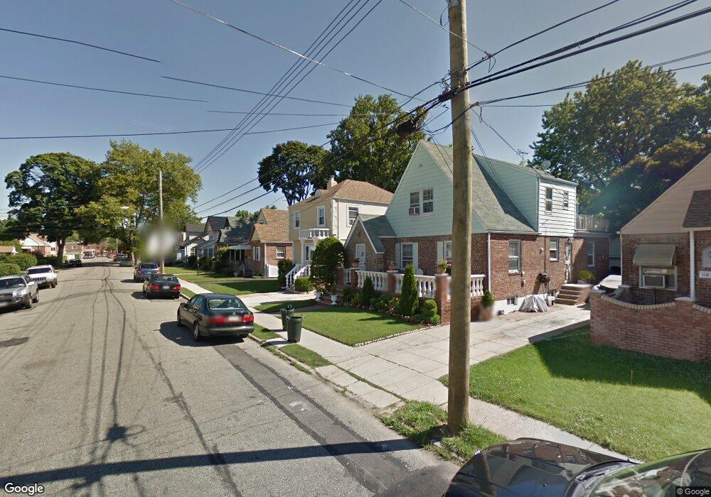
11835 201st St Saint Albans, NY 11412
Saint Albans NeighborhoodEstimated Value: $673,630 - $826,000
--
Bed
--
Bath
1,288
Sq Ft
$571/Sq Ft
Est. Value
About This Home
This home is located at 11835 201st St, Saint Albans, NY 11412 and is currently estimated at $734,908, approximately $570 per square foot. 11835 201st St is a home located in Queens County with nearby schools including P.S. 136 Roy Wilkins, I.S. 192 The Linden, and Riverton Street Charter School.
Ownership History
Date
Name
Owned For
Owner Type
Purchase Details
Closed on
Nov 4, 1999
Sold by
Rosenblatt Lois and Barr Eva Louise
Bought by
Boxe Alma and Crawford Junior W
Current Estimated Value
Home Financials for this Owner
Home Financials are based on the most recent Mortgage that was taken out on this home.
Original Mortgage
$157,500
Interest Rate
7.61%
Create a Home Valuation Report for This Property
The Home Valuation Report is an in-depth analysis detailing your home's value as well as a comparison with similar homes in the area
Home Values in the Area
Average Home Value in this Area
Purchase History
| Date | Buyer | Sale Price | Title Company |
|---|---|---|---|
| Boxe Alma | $175,000 | Chicago Title Insurance Co |
Source: Public Records
Mortgage History
| Date | Status | Borrower | Loan Amount |
|---|---|---|---|
| Previous Owner | Boxe Alma | $157,500 |
Source: Public Records
Tax History Compared to Growth
Tax History
| Year | Tax Paid | Tax Assessment Tax Assessment Total Assessment is a certain percentage of the fair market value that is determined by local assessors to be the total taxable value of land and additions on the property. | Land | Improvement |
|---|---|---|---|---|
| 2025 | $5,810 | $32,146 | $10,232 | $21,914 |
| 2024 | $5,822 | $30,326 | $9,653 | $20,673 |
| 2023 | $5,810 | $30,326 | $10,123 | $20,203 |
| 2022 | $5,721 | $37,320 | $13,980 | $23,340 |
| 2021 | $5,680 | $31,980 | $13,980 | $18,000 |
| 2020 | $5,374 | $28,560 | $13,980 | $14,580 |
| 2019 | $4,994 | $30,660 | $13,980 | $16,680 |
| 2018 | $4,854 | $25,272 | $11,346 | $13,926 |
| 2017 | $4,813 | $25,081 | $13,015 | $12,066 |
| 2016 | $4,420 | $25,081 | $13,015 | $12,066 |
| 2015 | $2,706 | $22,323 | $12,575 | $9,748 |
| 2014 | $2,706 | $21,060 | $13,080 | $7,980 |
Source: Public Records
Map
Nearby Homes
- 118-27 201st St
- 118-22 201st
- 200-19 119th Ave
- 118-32 200th St
- 118 ave 202 St
- 117-31 202nd St
- 118-15 203rd St
- 117-02 202nd St
- 19815 118th Ave
- 20017 Linden Blvd
- 118-28 204th St
- 197-20 118th Ave
- 118-55 204th St
- 197-13 118th Ave
- 116-40 203rd St
- 120-06 Springfield Blvd
- 11839 205th St
- 116-32 205th St
- 116-30 205th St
- 120-46 199th St
- 11839 201st St
- 11831 201st St
- 11843 201st St
- 11827 201st St
- 118-27 201st St Unit 2
- 11830 201st Place
- 11832 201st Place
- 118-32 201 Place
- 11828 201st Place
- 11826 201st Place
- 11832 201st Place
- 11834 201st Place
- 11847 201st St
- 11830 201st Place
- 11819 201st St
- 11824 201st Place
- 11836 201st Place
- 118-30 201st St
- 11834 201st St
- 11832 201st St