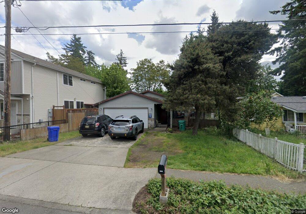
11836 E Burnside St Portland, OR 97216
Hazelwood NeighborhoodEstimated Value: $400,000 - $447,000
3
Beds
2
Baths
1,311
Sq Ft
$323/Sq Ft
Est. Value
About This Home
This home is located at 11836 E Burnside St, Portland, OR 97216 and is currently estimated at $423,002, approximately $322 per square foot. 11836 E Burnside St is a home located in Multnomah County with nearby schools including Ventura Park Elementary School, Floyd Light Middle School, and David Douglas High School.
Ownership History
Date
Name
Owned For
Owner Type
Purchase Details
Closed on
Jul 13, 2005
Sold by
Ash Steven L
Bought by
Warkentin Bradley R
Current Estimated Value
Home Financials for this Owner
Home Financials are based on the most recent Mortgage that was taken out on this home.
Original Mortgage
$144,000
Outstanding Balance
$78,586
Interest Rate
6.37%
Mortgage Type
Fannie Mae Freddie Mac
Estimated Equity
$344,416
Purchase Details
Closed on
May 12, 1998
Sold by
Hinger Dione K
Bought by
Nelson Brent T and Ash Steven L
Home Financials for this Owner
Home Financials are based on the most recent Mortgage that was taken out on this home.
Original Mortgage
$124,847
Interest Rate
7.13%
Mortgage Type
FHA
Create a Home Valuation Report for This Property
The Home Valuation Report is an in-depth analysis detailing your home's value as well as a comparison with similar homes in the area
Home Values in the Area
Average Home Value in this Area
Purchase History
| Date | Buyer | Sale Price | Title Company |
|---|---|---|---|
| Warkentin Bradley R | $180,000 | First American | |
| Nelson Brent T | $126,000 | Fidelity National Title Co |
Source: Public Records
Mortgage History
| Date | Status | Borrower | Loan Amount |
|---|---|---|---|
| Open | Warkentin Bradley R | $144,000 | |
| Previous Owner | Nelson Brent T | $124,847 |
Source: Public Records
Tax History Compared to Growth
Tax History
| Year | Tax Paid | Tax Assessment Tax Assessment Total Assessment is a certain percentage of the fair market value that is determined by local assessors to be the total taxable value of land and additions on the property. | Land | Improvement |
|---|---|---|---|---|
| 2024 | $5,022 | $210,510 | -- | -- |
| 2023 | $4,804 | $204,380 | $0 | $0 |
| 2022 | $4,553 | $198,430 | $0 | $0 |
| 2021 | $4,479 | $192,660 | $0 | $0 |
| 2020 | $4,057 | $187,050 | $0 | $0 |
| 2019 | $3,928 | $181,610 | $0 | $0 |
| 2018 | $3,808 | $176,330 | $0 | $0 |
| 2017 | $3,667 | $171,200 | $0 | $0 |
| 2016 | $3,538 | $166,220 | $0 | $0 |
| 2015 | $3,143 | $161,380 | $0 | $0 |
| 2014 | $2,909 | $156,680 | $0 | $0 |
Source: Public Records
Map
Nearby Homes
- 105 SE 119th Ave
- 11845 SE Pine St Unit 11849
- 12026 SE Ash St
- 11828 SE Pine St
- 12098 SE Pine St
- 308 NE 117th Ave
- 12071 SE Oak St Unit 12
- 415 NE 116th Place
- 11312 NE Davis St
- 11625 SE Washington St
- 11606 SE Washington St
- 11356 NE Glisan St
- 11330 NE Glisan St
- 15 NE 127th Ave
- 11185 SE Stark St
- 11187 SE Stark St
- 11193 SE Stark St
- 11191 SE Stark St
- 11189 SE Stark St
- 11177 SE Stark St
- 11848 E Burnside St
- 11824 E Burnside St
- 11824 E Burnside-Wow
- 11852 E Burnside St
- 11 SE 119th Ave
- 11814 E Burnside St
- 11847 SE Ankeny St
- 11825 SE Ankeny St
- 11813 SE Ankeny St
- 11806 E Burnside St
- 11900 E Burnside St Unit 409
- 11900 E Burnside St Unit 407
- 11900 E Burnside St Unit 405
- 11900 E Burnside St Unit 403
- 11900 E Burnside St Unit 309
- 11900 E Burnside St Unit 307
- 11900 E Burnside St Unit 305
- 11900 E Burnside St Unit 303
- 11900 E Burnside St Unit 301
- 11900 E Burnside St Unit 209