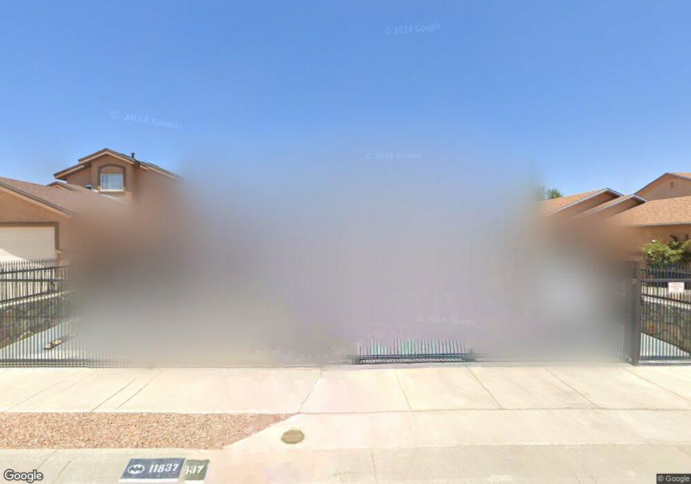
11837 Auburn Sands Dr Unit 1 El Paso, TX 79934
Estimated Value: $199,000 - $206,049
3
Beds
2
Baths
1,190
Sq Ft
$170/Sq Ft
Est. Value
About This Home
This home is located at 11837 Auburn Sands Dr Unit 1, El Paso, TX 79934 and is currently estimated at $202,012, approximately $169 per square foot. 11837 Auburn Sands Dr Unit 1 is a home located in El Paso County with nearby schools including Desertaire Elementary School, Parkland Pre-Engineering Middle School, and Parkland High School.
Ownership History
Date
Name
Owned For
Owner Type
Purchase Details
Closed on
Jan 16, 2018
Sold by
The Secreatary Of Vateransd
Bought by
Stewart Jon and Smith Anna
Current Estimated Value
Home Financials for this Owner
Home Financials are based on the most recent Mortgage that was taken out on this home.
Original Mortgage
$91,315
Outstanding Balance
$77,157
Interest Rate
3.99%
Mortgage Type
FHA
Estimated Equity
$124,855
Purchase Details
Closed on
Aug 16, 2017
Sold by
Freedom Mortgage Corp
Bought by
Secretary Of Veterans Affairs
Purchase Details
Closed on
Aug 8, 2017
Sold by
Mclaurine Jeremiah A
Bought by
Freedom Mortgage Corporation
Purchase Details
Closed on
Jan 30, 2009
Sold by
Desert View Construction Inc
Bought by
Mclaurine Jeremiah A
Home Financials for this Owner
Home Financials are based on the most recent Mortgage that was taken out on this home.
Original Mortgage
$100,050
Interest Rate
5.17%
Mortgage Type
VA
Create a Home Valuation Report for This Property
The Home Valuation Report is an in-depth analysis detailing your home's value as well as a comparison with similar homes in the area
Home Values in the Area
Average Home Value in this Area
Purchase History
| Date | Buyer | Sale Price | Title Company |
|---|---|---|---|
| Stewart Jon | -- | None Available | |
| Secretary Of Veterans Affairs | -- | None Available | |
| Freedom Mortgage Corporation | -- | None Available | |
| Mclaurine Jeremiah A | -- | Ct |
Source: Public Records
Mortgage History
| Date | Status | Borrower | Loan Amount |
|---|---|---|---|
| Open | Stewart Jon | $91,315 | |
| Previous Owner | Mclaurine Jeremiah A | $100,050 |
Source: Public Records
Tax History Compared to Growth
Tax History
| Year | Tax Paid | Tax Assessment Tax Assessment Total Assessment is a certain percentage of the fair market value that is determined by local assessors to be the total taxable value of land and additions on the property. | Land | Improvement |
|---|---|---|---|---|
| 2025 | $2,243 | $161,051 | -- | -- |
| 2024 | $2,243 | $146,410 | -- | -- |
| 2023 | $2,104 | $133,100 | $0 | $0 |
| 2022 | $3,757 | $121,000 | $0 | $0 |
| 2021 | $3,576 | $146,526 | $28,458 | $118,068 |
| 2020 | $3,159 | $100,000 | $28,458 | $71,542 |
| 2018 | $3,110 | $100,000 | $28,458 | $71,542 |
| 2017 | $3,235 | $105,821 | $28,458 | $77,363 |
| 2016 | $3,235 | $105,821 | $28,458 | $77,363 |
| 2015 | $3,011 | $105,821 | $28,458 | $77,363 |
| 2014 | $3,011 | $105,245 | $28,458 | $76,787 |
Source: Public Records
Map
Nearby Homes
- 11893 Mesquite Miel Dr
- 11880 Jim Webb Dr
- 11832 Mesquite Bush Dr
- 11905 Jim Webb Dr
- 11944 Mesquite Rock Dr
- 11924 Auburn Sands Dr
- 7116 Mesquite Tree Ln
- 7256 Copper Trail Ave
- 12380 Dyer St
- 12370 Dyer St
- 12360 Dyer St
- 12350 Dyer St
- 11733 Bedouin Ct
- 11665 Ochre Bluff Ln
- 7009 Falling Leaf Cir
- 12237 Bahjat Dr
- 12025 Copper Mine Ln
- 7257 Turtle Creek Ct
- 7256 Copper Canyon Dr
- 7341 Brick Dust St
- 11837 Auburn Sands Dr
- 11837 Auburn Sands Dr Unit 1
- 11833 Auburn Sands Dr
- 11841 Auburn Sands Dr
- 11829 Auburn Sands Dr
- 11845 Auburn Sands Dr
- 11868 Mesquite Rock Dr
- 11872 Mesquite Rock Dr
- 11860 Mesquite Rock Dr
- 11876 Mesquite Rock Dr
- 11825 Auburn Sands Dr
- 11849 Auburn Sands Dr
- 11836 Auburn Sands Dr
- 11840 Auburn Sands Dr
- 11832 Auburn Sands Dr
- 11856 Mesquite Rock Dr
- 11880 Mesquite Rock Dr
- 11844 Auburn Sands Dr
- 11828 Auburn Sands Dr
- 11853 Auburn Sands Dr