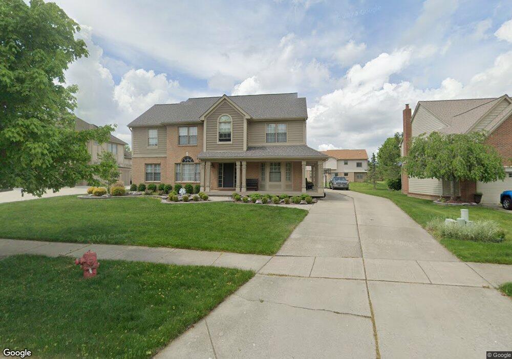
11837 Chandler Dr Plymouth, MI 48170
Estimated Value: $623,000 - $704,000
4
Beds
4
Baths
3,271
Sq Ft
$205/Sq Ft
Est. Value
About This Home
This home is located at 11837 Chandler Dr, Plymouth, MI 48170 and is currently estimated at $669,092, approximately $204 per square foot. 11837 Chandler Dr is a home located in Wayne County with nearby schools including Canton High School, Isbister Elementary School, and Salem High School.
Ownership History
Date
Name
Owned For
Owner Type
Purchase Details
Closed on
Apr 27, 2010
Sold by
Droski Mike and Droski Julie
Bought by
Craig Edmund C and Craig Lisa A
Current Estimated Value
Home Financials for this Owner
Home Financials are based on the most recent Mortgage that was taken out on this home.
Original Mortgage
$256,000
Outstanding Balance
$171,587
Interest Rate
5.05%
Mortgage Type
New Conventional
Estimated Equity
$497,505
Purchase Details
Closed on
Mar 17, 2010
Sold by
Droski Mike K and Droski Julie E
Bought by
The Bank Of New York Mellon and The Bank Of New York
Home Financials for this Owner
Home Financials are based on the most recent Mortgage that was taken out on this home.
Original Mortgage
$256,000
Outstanding Balance
$171,587
Interest Rate
5.05%
Mortgage Type
New Conventional
Estimated Equity
$497,505
Purchase Details
Closed on
Aug 16, 2002
Sold by
Kingry Marc N and Kingry Candi L
Bought by
Droski Mike
Create a Home Valuation Report for This Property
The Home Valuation Report is an in-depth analysis detailing your home's value as well as a comparison with similar homes in the area
Home Values in the Area
Average Home Value in this Area
Purchase History
| Date | Buyer | Sale Price | Title Company |
|---|---|---|---|
| Craig Edmund C | $320,000 | None Available | |
| The Bank Of New York Mellon | $274,500 | None Available | |
| Droski Mike | $391,000 | Community Title Services Inc |
Source: Public Records
Mortgage History
| Date | Status | Borrower | Loan Amount |
|---|---|---|---|
| Open | Craig Edmund C | $256,000 |
Source: Public Records
Tax History Compared to Growth
Tax History
| Year | Tax Paid | Tax Assessment Tax Assessment Total Assessment is a certain percentage of the fair market value that is determined by local assessors to be the total taxable value of land and additions on the property. | Land | Improvement |
|---|---|---|---|---|
| 2025 | $4,491 | $289,900 | $0 | $0 |
| 2024 | $4,491 | $282,100 | $0 | $0 |
| 2023 | $4,279 | $245,300 | $0 | $0 |
| 2022 | $5,690 | $210,200 | $0 | $0 |
| 2021 | $5,521 | $203,700 | $0 | $0 |
| 2019 | $5,356 | $197,890 | $0 | $0 |
| 2018 | $3,661 | $188,440 | $0 | $0 |
| 2017 | $2,558 | $40,100 | $0 | $0 |
| 2016 | $4,792 | $185,200 | $0 | $0 |
| 2015 | $15,331 | $194,040 | $0 | $0 |
| 2013 | $14,853 | $164,580 | $0 | $0 |
| 2012 | -- | $151,760 | $45,750 | $106,010 |
Source: Public Records
Map
Nearby Homes
- 11641 Chandler Dr
- 0 E Ann Arbor Trail Unit 20251048195
- 9875 Ann Arbor Trail
- 50501 Elmwood Ct Unit 11
- 50520 Elmwood Ct
- 50536 Cottonwood Ct
- 50492 Beechwood Ct
- 50511 Beechwood Ct Unit 1112
- 49238 Plum Tree Dr
- 00 N Territorial Rd
- 10631 Homestead Ln
- 49451 Plymouth Way Unit 26
- 0000 N Territorial Rd
- 50157 E Fellows Creek Ct
- 50045 E Fellows Creek Ct
- 9377 Pineview Dr
- 14180 F Dr
- 49582 Main Dr
- B1 Tall Timber Unit B1
- 9079 Woodgrove Dr
- 51013 W Hills Dr
- 50955 W Hills Dr
- 11781 Chandler Dr
- 51071 W Hills Dr
- 11865 Chandler Dr
- 11844 Chandler Dr
- 51115 W Hills Dr
- 11878 Chandler Dr
- 51000 Weston Dr
- 51159 W Hills Dr
- 12207 E Hills Dr
- 51060 Weston Dr
- 50978 Weston Dr
- 50950 Weston Dr
- 51050 W Hills Dr
- 51018 W Hills Dr
- 12155 E Hills Dr
- 51076 W Hills Dr
- 51080 Weston Dr
- 51110 W Hills Dr Unit Bldg-Unit