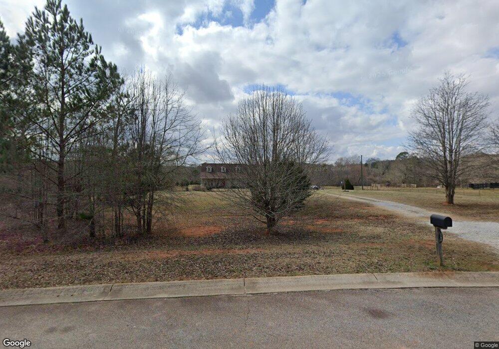
1184 Brown Rd Griffin, GA 30224
Estimated Value: $318,000 - $490,515
4
Beds
3
Baths
1,701
Sq Ft
$227/Sq Ft
Est. Value
About This Home
This home is located at 1184 Brown Rd, Griffin, GA 30224 and is currently estimated at $386,838, approximately $227 per square foot. 1184 Brown Rd is a home with nearby schools including Lamar County Primary School, Lamar County Elementary School, and Lamar County Middle School.
Ownership History
Date
Name
Owned For
Owner Type
Purchase Details
Closed on
Nov 7, 2020
Sold by
Banister Michael Otis
Bought by
Banister Michael Otis and Banister Misty
Current Estimated Value
Purchase Details
Closed on
Dec 5, 2016
Bought by
Bannister Michael Otis
Purchase Details
Closed on
Sep 14, 2010
Sold by
Double P Development Corporati
Bought by
First Bank Of Pike County
Purchase Details
Closed on
Aug 7, 2008
Sold by
Brisidine Investments Llc
Bought by
Double P Development Corp
Purchase Details
Closed on
May 20, 2005
Sold by
Fausel Terry T
Bought by
Double P Development Corporation
Purchase Details
Closed on
Jul 28, 2000
Sold by
Dunn Clyde D
Bought by
Fausel Terry T
Purchase Details
Closed on
Feb 28, 1994
Bought by
Dunn Clyde D
Create a Home Valuation Report for This Property
The Home Valuation Report is an in-depth analysis detailing your home's value as well as a comparison with similar homes in the area
Home Values in the Area
Average Home Value in this Area
Purchase History
| Date | Buyer | Sale Price | Title Company |
|---|---|---|---|
| Banister Michael Otis | -- | -- | |
| Bannister Michael Otis | $28,000 | -- | |
| First Bank Of Pike County | -- | -- | |
| Double P Development Corp | -- | -- | |
| Double P Development Corporation | $644,600 | -- | |
| Fausel Terry T | $250,000 | -- | |
| Dunn Clyde D | $186,900 | -- |
Source: Public Records
Tax History Compared to Growth
Tax History
| Year | Tax Paid | Tax Assessment Tax Assessment Total Assessment is a certain percentage of the fair market value that is determined by local assessors to be the total taxable value of land and additions on the property. | Land | Improvement |
|---|---|---|---|---|
| 2024 | $4,091 | $161,736 | $30,392 | $131,344 |
| 2023 | $4,308 | $157,961 | $30,392 | $127,569 |
| 2022 | $3,662 | $134,550 | $23,394 | $111,156 |
| 2021 | $3,326 | $112,512 | $23,394 | $89,118 |
| 2020 | $2,823 | $91,066 | $18,238 | $72,828 |
| 2019 | $2,829 | $91,066 | $18,238 | $72,828 |
| 2018 | $1,621 | $53,193 | $18,238 | $34,955 |
| 2017 | $339 | $18,238 | $18,238 | $0 |
| 2016 | $553 | $18,238 | $18,238 | $0 |
| 2015 | $552 | $18,238 | $18,238 | $0 |
| 2014 | $535 | $18,238 | $18,238 | $0 |
| 2013 | -- | $9,119 | $9,119 | $0 |
Source: Public Records
Map
Nearby Homes
- 2495 Barnesville Rd
- 111 Cynthia Cir
- 460 McKneely Rd
- 245 Kennelsman Dr
- 270 Kennelsman Dr
- 87 Hounds Way
- 250 Kennelsman Dr
- 258 Kennelsman Dr
- 264 Kennelsman Dr
- Flora Plan at Fox Crossing
- Cali Plan at Fox Crossing
- Galen Plan at Fox Crossing
- Aisle Plan at Fox Crossing
- Aria Plan at Fox Crossing
- 171 Kennelsman Dr
- 269 Kennelsman Dr
- 261 Kennelsman Dr
- 271 Kennelsman Dr
- 145 Hounds Way Unit LOT 94
- 111 Hatmaker Ct
- 1198 Brown Rd
- 0 Brown Rd Unit 8273869
- 0 Brown Rd Unit 8273807
- 0 Brown Rd Unit 6 7544823
- 0 Brown Rd Unit 5 7544814
- 0 Brown Rd Unit 7 7544829
- 0 Brown Rd Unit 4 7544806
- 0 Brown Rd Unit 3
- 0 Brown Rd Unit 8709026
- 0 Brown Rd Unit 3 7544644
- 0 Brown Rd Unit 9053566
- 0 Brown Rd Unit 8704326
- 0 Brown Rd Unit 8791687
- 0 Brown Rd Unit 3141456
- 0 Brown Rd Unit 7037275
- 0 Brown Rd Unit 7177345
- 0 Brown Rd Unit 7351078
- 0 Brown Rd Unit 8207008
- 0 Brown Rd Unit 8254868
- 0 Brown Rd Unit 8386073