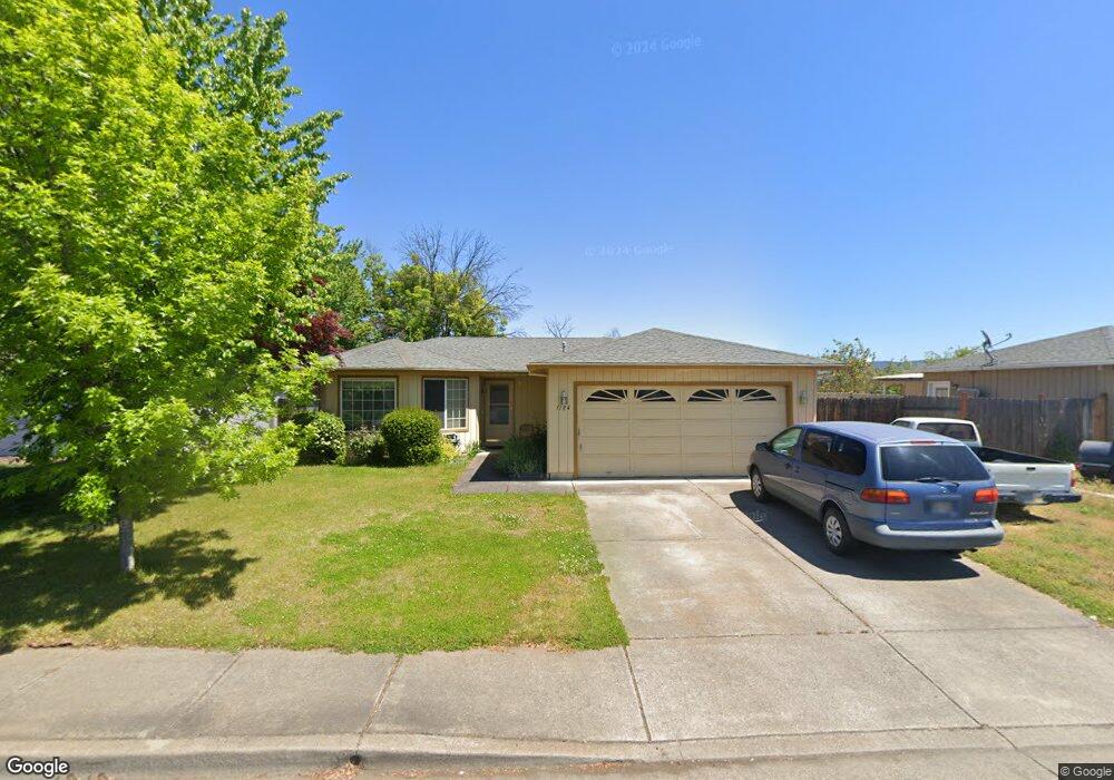
1184 Glengrove Ave Central Point, OR 97502
Estimated Value: $370,000 - $391,554
3
Beds
2
Baths
1,362
Sq Ft
$278/Sq Ft
Est. Value
About This Home
This home is located at 1184 Glengrove Ave, Central Point, OR 97502 and is currently estimated at $378,389, approximately $277 per square foot. 1184 Glengrove Ave is a home located in Jackson County with nearby schools including Central Point Elementary School, Scenic Middle School, and Crater High School.
Ownership History
Date
Name
Owned For
Owner Type
Purchase Details
Closed on
Mar 17, 2005
Sold by
Blaisdell Gregory L and Blaisdell Sheryl D
Bought by
Regalado Jesus and Lopez Martina
Current Estimated Value
Home Financials for this Owner
Home Financials are based on the most recent Mortgage that was taken out on this home.
Original Mortgage
$193,000
Outstanding Balance
$97,846
Interest Rate
5.61%
Mortgage Type
Purchase Money Mortgage
Estimated Equity
$280,543
Create a Home Valuation Report for This Property
The Home Valuation Report is an in-depth analysis detailing your home's value as well as a comparison with similar homes in the area
Home Values in the Area
Average Home Value in this Area
Purchase History
| Date | Buyer | Sale Price | Title Company |
|---|---|---|---|
| Regalado Jesus | $220,000 | First American Title Insuran |
Source: Public Records
Mortgage History
| Date | Status | Borrower | Loan Amount |
|---|---|---|---|
| Open | Regalado Jesus | $193,000 |
Source: Public Records
Tax History Compared to Growth
Tax History
| Year | Tax Paid | Tax Assessment Tax Assessment Total Assessment is a certain percentage of the fair market value that is determined by local assessors to be the total taxable value of land and additions on the property. | Land | Improvement |
|---|---|---|---|---|
| 2025 | $3,100 | $186,430 | $67,930 | $118,500 |
| 2024 | $3,100 | $181,000 | $65,950 | $115,050 |
| 2023 | $3,000 | $175,730 | $64,030 | $111,700 |
| 2022 | $2,930 | $175,730 | $64,030 | $111,700 |
| 2021 | $2,846 | $170,620 | $62,170 | $108,450 |
| 2020 | $2,763 | $165,660 | $60,360 | $105,300 |
| 2019 | $2,695 | $156,160 | $56,900 | $99,260 |
| 2018 | $2,613 | $151,620 | $55,240 | $96,380 |
| 2017 | $2,548 | $151,620 | $55,240 | $96,380 |
| 2016 | $2,473 | $142,930 | $52,070 | $90,860 |
| 2015 | $2,370 | $142,930 | $52,070 | $90,860 |
| 2014 | $2,309 | $134,730 | $49,080 | $85,650 |
Source: Public Records
Map
Nearby Homes
- 1025 Fairfield Ave
- 1017 Fairfield Ave
- 3119 Merriman Rd
- 1060 Hopkins Rd
- 921 Pittview Ave
- 811 O'Hare Pkwy
- 460 Federal Way
- 928 Brandi Way
- 881 Westrop Dr
- 2825 Howard Ave
- 2772 Merriman Rd
- 659 Herman Ave
- 851 Juanita Way
- 529 Black Bear Dr
- 191 Mellecker Way
- 745 Herman Ave
- 199 Mellecker Way
- 450 Midway Rd Unit 16
- 450 Midway Rd Unit 5
- 571 Briarwood Dr
- 1182 Glengrove Ave
- 1186 Glengrove Ave
- 1178 Glengrove Ave
- 1188 Glengrove Ave
- 1183 Glengrove Ave
- 1187 Glengrove Ave
- 1176 Glengrove Ave
- 1192 Glengrove Ave
- 1177 Glengrove Ave
- 1185 Gate Park Dr
- 1174 Glengrove Ave
- 104 Queens Gate Ct
- 1175 Gate Park Dr
- 1173 Glengrove Ave
- 1194 Glengrove Ave
- 1172 Glengrove Ave
- 103 Queens Gate Ct
- 1171 Glengrove Ave
- 105 Queens Gate Ct
- 106 Queens Gate Ct