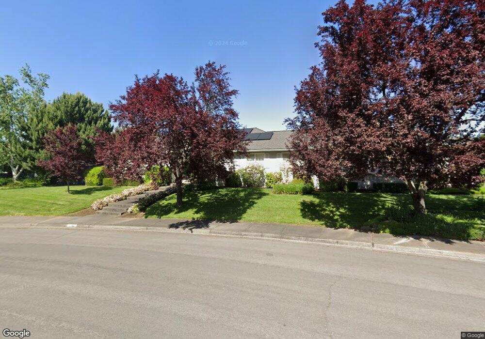
1184 Riverrock Way Medford, OR 97504
Estimated Value: $534,573 - $583,000
3
Beds
2
Baths
2,230
Sq Ft
$250/Sq Ft
Est. Value
About This Home
This home is located at 1184 Riverrock Way, Medford, OR 97504 and is currently estimated at $557,393, approximately $249 per square foot. 1184 Riverrock Way is a home located in Jackson County with nearby schools including Lone Pine Elementary School, Hedrick Middle School, and North Medford High School.
Ownership History
Date
Name
Owned For
Owner Type
Purchase Details
Closed on
May 16, 2006
Sold by
White Steven M and White Melody L
Bought by
White Md Steven M and White Melody L
Current Estimated Value
Purchase Details
Closed on
Oct 15, 1999
Sold by
Pahl Brian D and Pahl Michel M
Bought by
White Steven M and White Melody L
Home Financials for this Owner
Home Financials are based on the most recent Mortgage that was taken out on this home.
Original Mortgage
$97,500
Interest Rate
7.86%
Create a Home Valuation Report for This Property
The Home Valuation Report is an in-depth analysis detailing your home's value as well as a comparison with similar homes in the area
Home Values in the Area
Average Home Value in this Area
Purchase History
| Date | Buyer | Sale Price | Title Company |
|---|---|---|---|
| White Md Steven M | -- | None Available | |
| White Steven M | $218,000 | Jackson County Title |
Source: Public Records
Mortgage History
| Date | Status | Borrower | Loan Amount |
|---|---|---|---|
| Closed | White Steven M | $97,500 |
Source: Public Records
Tax History Compared to Growth
Tax History
| Year | Tax Paid | Tax Assessment Tax Assessment Total Assessment is a certain percentage of the fair market value that is determined by local assessors to be the total taxable value of land and additions on the property. | Land | Improvement |
|---|---|---|---|---|
| 2025 | $4,659 | $352,800 | $158,800 | $194,000 |
| 2024 | $4,659 | $342,530 | $154,170 | $188,360 |
| 2023 | $4,516 | $332,560 | $149,680 | $182,880 |
| 2022 | $4,406 | $332,560 | $149,680 | $182,880 |
| 2021 | $4,292 | $322,880 | $145,310 | $177,570 |
| 2020 | $4,201 | $313,480 | $141,080 | $172,400 |
| 2019 | $4,102 | $295,490 | $132,990 | $162,500 |
| 2018 | $3,997 | $286,890 | $129,120 | $157,770 |
| 2017 | $3,925 | $286,890 | $129,120 | $157,770 |
| 2016 | $3,951 | $270,430 | $121,710 | $148,720 |
| 2015 | $3,797 | $270,430 | $121,710 | $148,720 |
| 2014 | $3,731 | $254,920 | $114,730 | $140,190 |
Source: Public Records
Map
Nearby Homes
- 1460 Brookdale Ave
- 1089 Brookdale Ave
- 1501 Brookdale Ave
- 1277 Gardendale Ave
- 2327 Derry Ct
- 1224 N Modoc Ave Unit 57
- 1569 Papago Dr
- 3228 Auburn Way
- 1258 Paulita Dr
- 721 Brookdale Ave
- 1876 Inglewood Dr
- 451 S Stoneham Cir
- 1813 Cascadia Cir
- 1928 Hannah Ln
- 3079 Sycamore Way
- 523 W La Strada Cir
- 2777 Roberts Rd
- 1841 Cascadia Cir
- 1759 Carrera Cir
- 2020 Ridge Way
- 2429 Rockwood Ct
- 2440 Greenridge Dr
- 2430 Greenridge Dr
- 1183 Riverrock Way
- 1194 Riverrock Way
- 2437 Rockwood Ct
- 2426 Rockwood Ct
- 1170 Riverrock Way
- 1173 Riverrock Way
- 2450 Greenridge Dr
- 2430 Rockwood Ct
- 2436 Rockwood Ct
- 2441 Rockwood Ct
- 2456 Greenridge Dr
- 1154 Riverrock Way
- 2433 Greenridge Dr
- 2408 Greenridge Dr
- 2417 Greenridge Dr
- 2443 Greenridge Dr
- 2431 Greenridge Dr