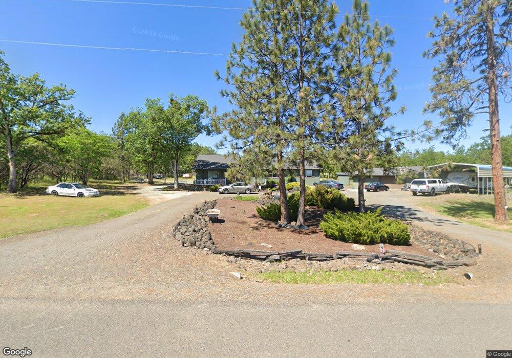
11841 Duggan Rd Central Point, OR 97502
Estimated Value: $511,000 - $557,209
2
Beds
2
Baths
2,204
Sq Ft
$244/Sq Ft
Est. Value
About This Home
This home is located at 11841 Duggan Rd, Central Point, OR 97502 and is currently estimated at $538,070, approximately $244 per square foot. 11841 Duggan Rd is a home located in Jackson County with nearby schools including Sams Valley Elementary School, Hanby Middle School, and Crater High School.
Ownership History
Date
Name
Owned For
Owner Type
Purchase Details
Closed on
Jun 2, 2020
Sold by
Leanord Karen L
Bought by
Sharpe Michael Scott and Sharpe Denise Marie
Current Estimated Value
Home Financials for this Owner
Home Financials are based on the most recent Mortgage that was taken out on this home.
Original Mortgage
$282,000
Outstanding Balance
$250,437
Interest Rate
3.3%
Mortgage Type
New Conventional
Estimated Equity
$287,633
Purchase Details
Closed on
Feb 12, 2002
Sold by
Hennings Clint and Hennings Linda
Bought by
Leonard Larry B and Leanord Karen L
Home Financials for this Owner
Home Financials are based on the most recent Mortgage that was taken out on this home.
Original Mortgage
$137,400
Interest Rate
7.13%
Create a Home Valuation Report for This Property
The Home Valuation Report is an in-depth analysis detailing your home's value as well as a comparison with similar homes in the area
Home Values in the Area
Average Home Value in this Area
Purchase History
| Date | Buyer | Sale Price | Title Company |
|---|---|---|---|
| Sharpe Michael Scott | $352,500 | First American | |
| Leonard Larry B | $87,400 | First American Title Ins Co |
Source: Public Records
Mortgage History
| Date | Status | Borrower | Loan Amount |
|---|---|---|---|
| Open | Sharpe Michael Scott | $282,000 | |
| Previous Owner | Leonard Larry B | $137,400 |
Source: Public Records
Tax History Compared to Growth
Tax History
| Year | Tax Paid | Tax Assessment Tax Assessment Total Assessment is a certain percentage of the fair market value that is determined by local assessors to be the total taxable value of land and additions on the property. | Land | Improvement |
|---|---|---|---|---|
| 2025 | $3,570 | $292,260 | $112,920 | $179,340 |
| 2024 | $3,570 | $283,750 | $132,840 | $150,910 |
| 2023 | $3,453 | $275,490 | $128,970 | $146,520 |
| 2022 | $3,315 | $275,490 | $128,970 | $146,520 |
| 2021 | $3,221 | $267,470 | $125,220 | $142,250 |
| 2020 | $2,898 | $240,660 | $121,580 | $119,080 |
| 2019 | $2,557 | $226,860 | $114,600 | $112,260 |
| 2018 | $2,478 | $220,260 | $111,250 | $109,010 |
| 2017 | $2,419 | $220,260 | $111,250 | $109,010 |
| 2016 | $2,348 | $207,630 | $104,870 | $102,760 |
| 2015 | $2,506 | $207,630 | $104,870 | $102,760 |
| 2014 | $2,445 | $195,720 | $98,850 | $96,870 |
Source: Public Records
Map
Nearby Homes
- 11615 Michael Rd
- 11515 Michael Rd
- 250 Robleda Dr
- 3388 McMartin Ln
- 395 Robleda Dr
- 10695 Kildee Ave
- 10695 Killdee Ave
- 0 Duggan Rd Unit 220198974
- 11441 Meadows Rd
- 13007 Perry Rd
- 377 Pelton Ln
- 10115 Ramsey Rd
- 13355 Weowna Way
- 180 Glass Ln
- 5209 Beagle Rd
- 17150 Antioch Rd
- 3659 Highway 234
- 12310 Ramsey Rd
- 1000 Juliet St
- 0 Winnetka Rd
- 11781 Duggan Rd
- 3845 Sams Valley Rd
- 3849 Sams Valley Rd
- 11750 Duggan Rd
- 3485 Sams Valley Hwy
- 3608 Sams Valley Rd
- 11730 Duggan Rd
- 3656 Sams Valley Rd
- 3465 Sams Valley Hwy
- 3260 Sams Valley Hwy
- 3385 Sams Valley Hwy
- 11719 Duggan Rd
- 11123 Duggan Rd
- 3450 Sams Valley Hwy
- 3450 Sams Valley Hwy
- 11720 Duggan Rd
- 11785 Michael Rd
- 3752 Sams Valley Rd
- 3400 Sams Valley Rd
- 3400 Sams Valley Hwy