11843 Arnold Rd SW Port Washington, OH 43837
Estimated Value: $213,000
--
Bed
--
Bath
--
Sq Ft
50
Acres
About This Home
This home is located at 11843 Arnold Rd SW, Port Washington, OH 43837 and is currently estimated at $213,000. 11843 Arnold Rd SW is a home located in Tuscarawas County with nearby schools including Port Washington Elementary School, Tuscarawas Middle School, and Indian Valley High School.
Ownership History
Date
Name
Owned For
Owner Type
Purchase Details
Closed on
Sep 22, 2015
Sold by
Kail Kenneth Dean and Kail Anna Rose
Bought by
Kail Family Revocable Living Trust and Kail Anna Rose
Current Estimated Value
Purchase Details
Closed on
May 8, 2007
Sold by
Kail Vernon L and Kail Esther
Bought by
Kail Kenneth Dean and Kail Anna Rose
Purchase Details
Closed on
Apr 10, 2006
Sold by
Kail Vernon L and Kail Esther
Bought by
Kail Kenneth Dean and Kail Anna Rose
Create a Home Valuation Report for This Property
The Home Valuation Report is an in-depth analysis detailing your home's value as well as a comparison with similar homes in the area
Home Values in the Area
Average Home Value in this Area
Purchase History
| Date | Buyer | Sale Price | Title Company |
|---|---|---|---|
| Kail Family Revocable Living Trust | -- | None Available | |
| Kail Kenneth Dean | -- | Attorney | |
| Kail Kenneth Dean | $75,000 | None Available |
Source: Public Records
Tax History Compared to Growth
Tax History
| Year | Tax Paid | Tax Assessment Tax Assessment Total Assessment is a certain percentage of the fair market value that is determined by local assessors to be the total taxable value of land and additions on the property. | Land | Improvement |
|---|---|---|---|---|
| 2024 | $282 | $39,320 | $38,000 | $1,320 |
| 2023 | $282 | $112,340 | $108,580 | $3,760 |
| 2022 | $269 | $39,319 | $38,003 | $1,316 |
| 2021 | $286 | $23,510 | $21,861 | $1,649 |
| 2020 | $289 | $23,510 | $21,861 | $1,649 |
| 2019 | $291 | $23,510 | $21,861 | $1,649 |
| 2018 | $406 | $19,540 | $18,160 | $1,380 |
| 2017 | $407 | $19,540 | $18,160 | $1,380 |
| 2016 | $778 | $41,950 | $21,580 | $20,370 |
| 2014 | $1,247 | $34,330 | $15,970 | $18,360 |
| 2013 | $1,224 | $34,330 | $15,970 | $18,360 |
Source: Public Records
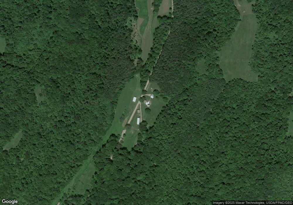
Map
Nearby Homes
- 207 S Saint Clairsville Rd
- 0 Twy Highway 116
- 4980 Beagle Club Rd
- 482 Lock Seventeen Rd SE
- 0 Lock 17 Rd SE
- 0 Lock 17 Rd SE
- 0 Lock 17 Rd SE
- 5043 Frys Valley Rd SW
- 6075 E State Rd
- 16066 State Route 258 SW
- 1188 Frys Valley Rd SW
- 9375 Ridge Rd SE
- 236 N Plum St
- 15240 Stocker Ridge Rd
- 15216 Grove Rd SE
- 15216 Grove Rd SW Unit TP142
- 0 Scott Dr
- 145 Chapman Ave
- 637 Maple St
- 134 Chapman Ave