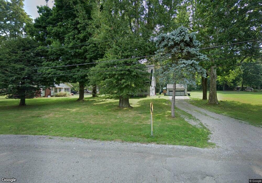
11844 Walnut Ave NE Alliance, OH 44601
Estimated Value: $185,000 - $248,000
2
Beds
2
Baths
1,706
Sq Ft
$120/Sq Ft
Est. Value
About This Home
This home is located at 11844 Walnut Ave NE, Alliance, OH 44601 and is currently estimated at $204,017, approximately $119 per square foot. 11844 Walnut Ave NE is a home located in Stark County with nearby schools including Alliance Early Learning School, Alliance Intermediate School at Northside, and Alliance Middle School.
Ownership History
Date
Name
Owned For
Owner Type
Purchase Details
Closed on
Aug 5, 2022
Sold by
Roose Gerald L
Bought by
Mcdonald Michael and Mcdonald Amanda
Current Estimated Value
Home Financials for this Owner
Home Financials are based on the most recent Mortgage that was taken out on this home.
Original Mortgage
$133,292
Outstanding Balance
$127,218
Interest Rate
5.3%
Mortgage Type
FHA
Estimated Equity
$76,799
Purchase Details
Closed on
Mar 17, 2005
Sold by
Estate Of Toni A Roose
Bought by
Roose Gerald L
Create a Home Valuation Report for This Property
The Home Valuation Report is an in-depth analysis detailing your home's value as well as a comparison with similar homes in the area
Home Values in the Area
Average Home Value in this Area
Purchase History
| Date | Buyer | Sale Price | Title Company |
|---|---|---|---|
| Mcdonald Michael | -- | Davis Law Firm Inc | |
| Roose Gerald L | -- | -- |
Source: Public Records
Mortgage History
| Date | Status | Borrower | Loan Amount |
|---|---|---|---|
| Open | Mcdonald Michael | $133,292 |
Source: Public Records
Tax History Compared to Growth
Tax History
| Year | Tax Paid | Tax Assessment Tax Assessment Total Assessment is a certain percentage of the fair market value that is determined by local assessors to be the total taxable value of land and additions on the property. | Land | Improvement |
|---|---|---|---|---|
| 2025 | -- | $63,670 | $14,670 | $49,000 |
| 2024 | -- | $63,670 | $14,670 | $49,000 |
| 2023 | $1,687 | $39,450 | $11,730 | $27,720 |
| 2022 | $1,043 | $32,940 | $11,730 | $21,210 |
| 2021 | $1,044 | $32,940 | $11,730 | $21,210 |
| 2020 | $931 | $28,710 | $10,120 | $18,590 |
| 2019 | $919 | $28,710 | $10,120 | $18,590 |
| 2018 | $924 | $28,710 | $10,120 | $18,590 |
| 2017 | $740 | $23,570 | $7,250 | $16,320 |
| 2016 | $824 | $25,110 | $7,630 | $17,480 |
| 2015 | $797 | $25,110 | $7,630 | $17,480 |
| 2014 | $730 | $22,900 | $6,970 | $15,930 |
| 2013 | $363 | $22,900 | $6,970 | $15,930 |
Source: Public Records
Map
Nearby Homes
- 11680 Walnut Ave NE
- 15995 Elbrook St NE
- 11344 Walnut Ave NE
- 11310 Webb Ave NE
- 14723 Bolton St NE
- 15520 Coalbank St NE
- 652 N Webb Ave
- 15789 Coalbank St NE
- 124 E Wayne St
- 710 N Freedom Ave
- 0 Homestead Ave NE
- 0 Meadowbrook Ave
- 0 Johnson Ave NE Unit 5142926
- 000 Meadowbrook Ave
- 14422 Sturbridge Rd NE
- 263 Franklin Ave
- 0 Knoll St NE
- 0 Klinger Ave NE
- 511 W Ely St
- 361 E Main St
- 11838 Union Ave NE
- 11814 Walnut Ave NE
- 11811 Walnut Ave NE
- 11800 Walnut Ave NE
- 11770 Walnut Ave NE
- 11887 Union Ave NE
- 11888 Union Ave NE
- 11751 Walnut Ave NE
- 11934 Union Ave NE
- 11931 Union Ave NE
- 11720 Walnut Ave NE
- 11809 Sioux Ave NE
- 11863 Sioux Ave NE
- 11775 Sioux Ave NE
- 20 Lot Sioux Ave NE
- 20-Lot Sioux Ave NE
- 11745 Sioux Ave NE
- 11629 Walnut Ave NE
- 11800 Sioux Ave NE
- 11834 Sioux Ave NE