1185 Mountain Home Rd Cedartown, GA 30125
Estimated Value: $259,000 - $279,772
2
Beds
1
Bath
1,680
Sq Ft
$162/Sq Ft
Est. Value
About This Home
This home is located at 1185 Mountain Home Rd, Cedartown, GA 30125 and is currently estimated at $272,443, approximately $162 per square foot. 1185 Mountain Home Rd is a home located in Polk County with nearby schools including Cedar Christian School.
Ownership History
Date
Name
Owned For
Owner Type
Purchase Details
Closed on
Oct 25, 2002
Sold by
Federal National Mortgage Assoc
Bought by
Mosley Kevin L and Mosley Betina R
Current Estimated Value
Purchase Details
Closed on
Apr 2, 2002
Sold by
First Horizon Home Loan Corp
Bought by
Federal National Mortgage Assoc
Purchase Details
Closed on
Apr 30, 1998
Sold by
Oneal Tracy L and Oneal Pamela M
Bought by
Pointer Samuel J
Purchase Details
Closed on
Jul 27, 1989
Sold by
Carter Dorothy W
Bought by
O'Neal Tracy L
Purchase Details
Closed on
Mar 17, 1975
Bought by
Carter Robert
Create a Home Valuation Report for This Property
The Home Valuation Report is an in-depth analysis detailing your home's value as well as a comparison with similar homes in the area
Home Values in the Area
Average Home Value in this Area
Purchase History
| Date | Buyer | Sale Price | Title Company |
|---|---|---|---|
| Mosley Kevin L | -- | -- | |
| Federal National Mortgage Assoc | -- | -- | |
| First Horizon Home Loan Cororation F/K/A | -- | -- | |
| Pointer Samuel J | $62,000 | -- | |
| O'Neal Tracy L | $39,000 | -- | |
| Carter Robert | -- | -- |
Source: Public Records
Tax History Compared to Growth
Tax History
| Year | Tax Paid | Tax Assessment Tax Assessment Total Assessment is a certain percentage of the fair market value that is determined by local assessors to be the total taxable value of land and additions on the property. | Land | Improvement |
|---|---|---|---|---|
| 2024 | $1,935 | $94,571 | $5,370 | $89,201 |
| 2023 | $1,566 | $67,972 | $5,370 | $62,602 |
| 2022 | $1,365 | $59,526 | $3,580 | $55,946 |
| 2021 | $1,541 | $66,084 | $3,580 | $62,504 |
| 2020 | $1,544 | $66,084 | $3,580 | $62,504 |
| 2019 | $1,275 | $49,462 | $3,580 | $45,882 |
| 2018 | $732 | $28,581 | $3,580 | $25,001 |
| 2017 | $723 | $28,581 | $3,580 | $25,001 |
| 2016 | $747 | $29,433 | $4,432 | $25,001 |
| 2015 | $751 | $29,526 | $4,432 | $25,094 |
| 2014 | $757 | $29,526 | $4,432 | $25,094 |
Source: Public Records
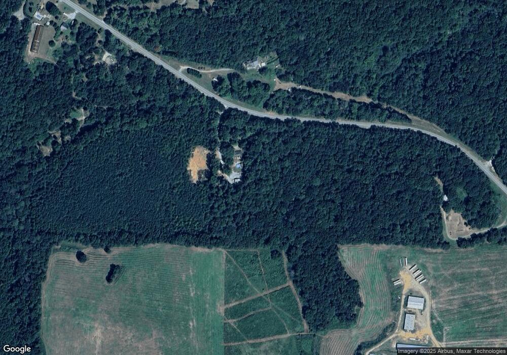
Map
Nearby Homes
- 1849 Prior Station Rd Unit 76 ACRES
- 1849 Prior Station Rd
- 151 Friendship Rd
- 0 Mountain Home Rd Unit 1020-C 10351948
- 0 Mountain Home Rd Unit 1020-B 10351940
- 0 Mountain Home Rd Unit 1020-A 10351930
- 119 New Harmony Rd
- 123 Santa Claus Rd
- 255 Reynolds Rd
- 35 Harris Loop
- 244 Valley Grove Rd
- 251 Valley Grove Rd
- 424 Michael Blvd
- 1200 N Cave Spring St
- 28 Summerwind Dr
- 383 Valley Grove Rd
- 39 Summerwind Dr
- 516 Branch St
- 512 Branch St
- 1162 Mountain Home Rd
- 1285 Mountain Home Rd
- 1234 Mountain Home Rd
- 1290 Mountain Home Rd
- 1025 Mountain Home Rd
- 1319 Mountain Home Rd
- 1340 Mountain Home Rd
- 1335 Mountain Home Rd
- 501 Dry Creek Rd
- 1320 Mountain Home Rd
- 1005 Mountain Home Rd
- 265 John Redding Rd
- 1346 Mountain Home Rd
- 1034 Mountain Home Rd
- 437 Dry Creek Rd
- 960 Mountain Home Rd
- 275 John Redding Rd
- 1428 Mountain Home Rd
- 914 Mountain Home Rd
- 261 John Redding Rd