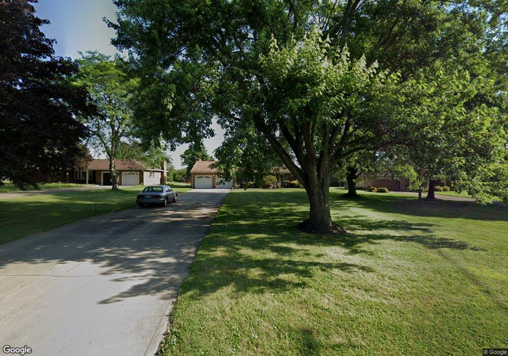
1185 Piper Rd Mansfield, OH 44905
Estimated Value: $298,000 - $353,000
4
Beds
3
Baths
2,254
Sq Ft
$141/Sq Ft
Est. Value
About This Home
This home is located at 1185 Piper Rd, Mansfield, OH 44905 and is currently estimated at $317,448, approximately $140 per square foot. 1185 Piper Rd is a home located in Richland County with nearby schools including Madison High School, Temple-Christian School, and St. Mary Catholic School.
Ownership History
Date
Name
Owned For
Owner Type
Purchase Details
Closed on
Mar 5, 2004
Sold by
Harrison William B and Harrison Karen T
Bought by
Cooper Mark G
Current Estimated Value
Home Financials for this Owner
Home Financials are based on the most recent Mortgage that was taken out on this home.
Original Mortgage
$142,000
Outstanding Balance
$66,550
Interest Rate
5.71%
Mortgage Type
Purchase Money Mortgage
Estimated Equity
$250,898
Create a Home Valuation Report for This Property
The Home Valuation Report is an in-depth analysis detailing your home's value as well as a comparison with similar homes in the area
Home Values in the Area
Average Home Value in this Area
Purchase History
| Date | Buyer | Sale Price | Title Company |
|---|---|---|---|
| Cooper Mark G | $177,500 | -- |
Source: Public Records
Mortgage History
| Date | Status | Borrower | Loan Amount |
|---|---|---|---|
| Open | Cooper Mark G | $142,000 | |
| Closed | Cooper Mark G | $17,500 |
Source: Public Records
Tax History Compared to Growth
Tax History
| Year | Tax Paid | Tax Assessment Tax Assessment Total Assessment is a certain percentage of the fair market value that is determined by local assessors to be the total taxable value of land and additions on the property. | Land | Improvement |
|---|---|---|---|---|
| 2024 | $3,610 | $72,850 | $12,600 | $60,250 |
| 2023 | $3,610 | $72,850 | $12,600 | $60,250 |
| 2022 | $3,104 | $55,470 | $11,080 | $44,390 |
| 2021 | $3,103 | $55,470 | $11,080 | $44,390 |
| 2020 | $3,127 | $55,470 | $11,080 | $44,390 |
| 2019 | $2,981 | $47,020 | $9,390 | $37,630 |
| 2018 | $2,792 | $47,020 | $9,390 | $37,630 |
| 2017 | $2,717 | $47,020 | $9,390 | $37,630 |
| 2016 | $2,700 | $44,870 | $8,920 | $35,950 |
| 2015 | $2,700 | $44,870 | $8,920 | $35,950 |
| 2014 | $2,568 | $44,870 | $8,920 | $35,950 |
| 2012 | $1,213 | $44,870 | $9,390 | $35,480 |
Source: Public Records
Map
Nearby Homes
- 1585 Beal Rd
- 1292 Wolford Rd
- 920 Piper Rd
- 0 Hoover Rd
- 1791 Beal Rd
- 1245 N Stewart Rd
- 1158 Delwood Rd
- 1151 Beal Rd
- 1150 Delwood Dr
- 1106 Keller Dr Unit 1108
- 903 Mayflower Ave
- 1806 Richard Dr
- 1140 5th Ave
- 0 Wesley
- 1951 Woodmont Rd
- 735 Pennsylvania Ave
- 1199 Evergreen Ave W
- 1183 Evergreen Ave W
- 741 Yale Ave
- 683 Coachman Rd