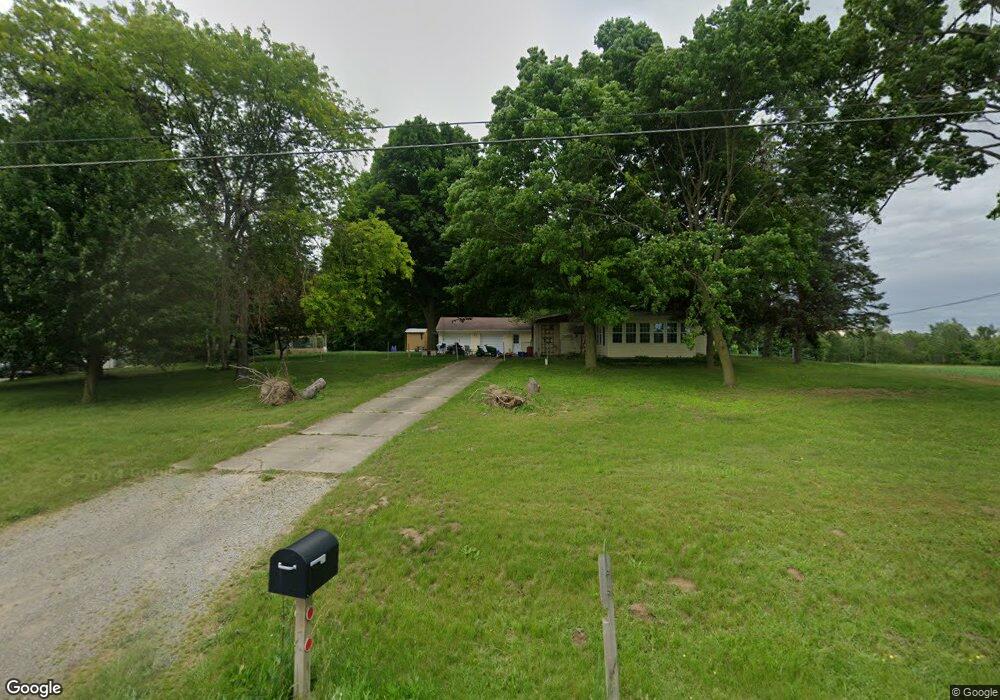
1185 S Delaney Rd Owosso, MI 48867
Estimated Value: $157,000 - $204,000
3
Beds
3
Baths
1,070
Sq Ft
$162/Sq Ft
Est. Value
About This Home
This home is located at 1185 S Delaney Rd, Owosso, MI 48867 and is currently estimated at $173,567, approximately $162 per square foot. 1185 S Delaney Rd is a home located in Shiawassee County with nearby schools including Owosso High School, Spring Vale Christian School, and Salem Lutheran School.
Ownership History
Date
Name
Owned For
Owner Type
Purchase Details
Closed on
May 19, 2011
Sold by
Johnson Gary L and Johnson Christina E
Bought by
Porter Jacob A
Current Estimated Value
Home Financials for this Owner
Home Financials are based on the most recent Mortgage that was taken out on this home.
Original Mortgage
$93,900
Outstanding Balance
$65,346
Interest Rate
4.91%
Mortgage Type
Unknown
Estimated Equity
$108,221
Create a Home Valuation Report for This Property
The Home Valuation Report is an in-depth analysis detailing your home's value as well as a comparison with similar homes in the area
Home Values in the Area
Average Home Value in this Area
Purchase History
| Date | Buyer | Sale Price | Title Company |
|---|---|---|---|
| Porter Jacob A | $93,900 | -- |
Source: Public Records
Mortgage History
| Date | Status | Borrower | Loan Amount |
|---|---|---|---|
| Open | Porter Jacob A | $93,900 |
Source: Public Records
Tax History Compared to Growth
Tax History
| Year | Tax Paid | Tax Assessment Tax Assessment Total Assessment is a certain percentage of the fair market value that is determined by local assessors to be the total taxable value of land and additions on the property. | Land | Improvement |
|---|---|---|---|---|
| 2025 | $86 | $70,300 | $0 | $0 |
| 2024 | $86 | $68,000 | $0 | $0 |
| 2023 | $1 | $0 | $0 | $0 |
| 2022 | $45 | $0 | $0 | $0 |
| 2021 | $45 | $0 | $0 | $0 |
| 2020 | $1,323 | $45,900 | $0 | $0 |
| 2019 | $45 | $0 | $0 | $0 |
| 2018 | $45 | $41,800 | $0 | $0 |
| 2017 | $1,065 | $39,900 | $0 | $0 |
| 2016 | -- | $39,900 | $0 | $0 |
| 2015 | -- | $37,300 | $0 | $0 |
| 2014 | $5 | $0 | $0 | $0 |
Source: Public Records
Map
Nearby Homes
- 539 W Wildwood Dr
- 1701 W Stewart St
- 717 Nafus St
- 1510 S Chipman St
- V/L W South St
- 1610 W South St
- 1318 W Stewart St
- Vacant Ash St
- 1560 S M 52
- 1627 Michigan 52
- 1434 S Pearce St
- 1300 S Pearce St
- 411 Robbins St
- 1046 S Pearce St
- 821 Fletcher St
- 117 Elliot St
- 309 State St
- 606 Ryan St
- 3006 W M 21
- 1114 Beehler St
- 1175 S Delaney Rd
- 1175 S Delaney Rd
- 1195 S Delaney Rd
- 1257 S Delaney Rd
- 1007 S Delaney Rd
- 1357 S Delaney Rd
- 0 S Delaney Rd
- 996 S Delaney Rd
- 988 S Delaney Rd
- 985 S Delaney Rd
- 2122 Krouse Rd
- 980 S Delaney Rd
- 2098 Krouse Rd
- 2184 Krouse Rd
- 1395 S Delaney Rd
- 1788 Krouse Rd
- 2142 Krouse Rd
- 1401 S Delaney Rd
- 1690 Krouse Rd
- 1784 Krouse Rd