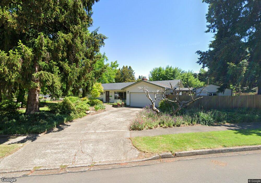
1185 Woodside Dr Eugene, OR 97401
Cal Young NeighborhoodEstimated Value: $536,649 - $606,000
3
Beds
3
Baths
1,643
Sq Ft
$344/Sq Ft
Est. Value
About This Home
This home is located at 1185 Woodside Dr, Eugene, OR 97401 and is currently estimated at $564,912, approximately $343 per square foot. 1185 Woodside Dr is a home located in Lane County with nearby schools including Willagillespie Elementary School, Monroe Middle School, and Sheldon High School.
Ownership History
Date
Name
Owned For
Owner Type
Purchase Details
Closed on
May 3, 2006
Sold by
Nunnally Ray L and Nunnally Mary H
Bought by
Morris Shirley E
Current Estimated Value
Purchase Details
Closed on
May 17, 2001
Sold by
John Lagor and John Mary B
Bought by
Nunnally Ray L and Nunnally Mary H
Home Financials for this Owner
Home Financials are based on the most recent Mortgage that was taken out on this home.
Original Mortgage
$165,600
Interest Rate
7.06%
Create a Home Valuation Report for This Property
The Home Valuation Report is an in-depth analysis detailing your home's value as well as a comparison with similar homes in the area
Home Values in the Area
Average Home Value in this Area
Purchase History
| Date | Buyer | Sale Price | Title Company |
|---|---|---|---|
| Morris Shirley E | $289,000 | Fidelity National Title Insu | |
| Nunnally Ray L | $184,000 | Western Pioneer Title Co |
Source: Public Records
Mortgage History
| Date | Status | Borrower | Loan Amount |
|---|---|---|---|
| Previous Owner | Nunnally Ray L | $165,600 |
Source: Public Records
Tax History
| Year | Tax Paid | Tax Assessment Tax Assessment Total Assessment is a certain percentage of the fair market value that is determined by local assessors to be the total taxable value of land and additions on the property. | Land | Improvement |
|---|---|---|---|---|
| 2025 | $5,257 | $269,826 | -- | -- |
| 2024 | $5,192 | $261,967 | -- | -- |
| 2023 | $5,192 | $254,337 | $0 | $0 |
| 2022 | $4,864 | $246,930 | $0 | $0 |
| 2021 | $4,568 | $239,738 | $0 | $0 |
| 2020 | $4,584 | $232,756 | $0 | $0 |
| 2019 | $4,428 | $225,977 | $0 | $0 |
| 2018 | $4,168 | $213,006 | $0 | $0 |
| 2017 | $3,981 | $213,006 | $0 | $0 |
| 2016 | $3,860 | $206,802 | $0 | $0 |
| 2015 | $3,728 | $200,779 | $0 | $0 |
| 2014 | $3,647 | $194,931 | $0 | $0 |
Source: Public Records
Map
Nearby Homes
- 1090 Corydon St
- 820 Lariat Dr
- 950 Coburg Rd
- 2250 Turnberry Ct
- 2355 Pioneer Pike
- 2150 Greenview St
- 0 Cal Young Rd Unit Lot 4
- 1943 Monterey Ln
- 600 Cherry Dr Unit 8
- 600 Cherry Dr Unit 3
- 2872 Suffolk Ct
- 2746 Harlow Rd
- 347 Rustic Place Unit 14
- 3025 Bailey Ln
- 394 Cherry Dr
- 2580 Elysium Ave
- 2994 Dapple Way
- 0 Sprig Ln Unit Lot 3
- 0 Sprig Ln Unit Lot 3 766109892
- 2577 Elysium Ave
- 1190 Buff Way
- 1127 Woodside Dr
- 1156 Woodside Dr
- 1185 Buff Way
- 1140 Woodside Dr
- 1195 Buff Way
- 1172 Woodside Dr
- 1160 Buff Way
- 1165 Buff Way
- 1074 Sharon Way
- 1124 Woodside Dr
- 1198 Woodside Dr
- 1155 Buff Way
- 1225 Woodside Dr
- 1233 Woodside Dr
- 2292 Sandy Dr
- 1085 Woodside Dr
- 2310 Sandy Dr
- 1108 Woodside Dr
- 2300 Sandy Dr
Your Personal Tour Guide
Ask me questions while you tour the home.