11850 Fresno Rd West Fork, AR 72774
Estimated Value: $144,330 - $252,000
--
Bed
--
Bath
1,216
Sq Ft
$163/Sq Ft
Est. Value
About This Home
This home is located at 11850 Fresno Rd, West Fork, AR 72774 and is currently estimated at $197,833, approximately $162 per square foot. 11850 Fresno Rd is a home with nearby schools including West Fork Elementary School, West Fork Middle School, and West Fork High School.
Ownership History
Date
Name
Owned For
Owner Type
Purchase Details
Closed on
Jan 13, 2010
Sold by
Zamudio Ildefonso
Bought by
Zamudio Jose Z
Current Estimated Value
Purchase Details
Closed on
Sep 9, 2004
Sold by
Zamudio Jose Z
Bought by
Zamudio Ildefonso
Purchase Details
Closed on
Jul 17, 2003
Sold by
Pigeon Percy Gene
Bought by
Zamudio Jose Z
Purchase Details
Closed on
Apr 24, 1995
Bought by
Pigeon Percy Gene
Purchase Details
Closed on
Jan 1, 1985
Bought by
Dixon Richey and Dixon Debbie
Create a Home Valuation Report for This Property
The Home Valuation Report is an in-depth analysis detailing your home's value as well as a comparison with similar homes in the area
Home Values in the Area
Average Home Value in this Area
Purchase History
| Date | Buyer | Sale Price | Title Company |
|---|---|---|---|
| Zamudio Jose Z | -- | None Available | |
| Zamudio Ildefonso | -- | -- | |
| Zamudio Jose Z | $4,000 | -- | |
| Pigeon Percy Gene | -- | -- | |
| Dixon Richey | $8,000 | -- |
Source: Public Records
Tax History Compared to Growth
Tax History
| Year | Tax Paid | Tax Assessment Tax Assessment Total Assessment is a certain percentage of the fair market value that is determined by local assessors to be the total taxable value of land and additions on the property. | Land | Improvement |
|---|---|---|---|---|
| 2025 | $23 | $24,400 | $13,000 | $11,400 |
| 2024 | $89 | $24,400 | $13,000 | $11,400 |
| 2023 | $141 | $24,400 | $13,000 | $11,400 |
| 2022 | $215 | $11,600 | $4,100 | $7,500 |
| 2021 | $192 | $11,600 | $4,100 | $7,500 |
| 2020 | $170 | $11,600 | $4,100 | $7,500 |
| 2019 | $124 | $9,340 | $3,200 | $6,140 |
| 2018 | $149 | $9,340 | $3,200 | $6,140 |
| 2017 | $85 | $9,340 | $3,200 | $6,140 |
| 2016 | $135 | $9,340 | $3,200 | $6,140 |
| 2015 | $80 | $9,340 | $3,200 | $6,140 |
| 2014 | $59 | $8,780 | $3,000 | $5,780 |
Source: Public Records
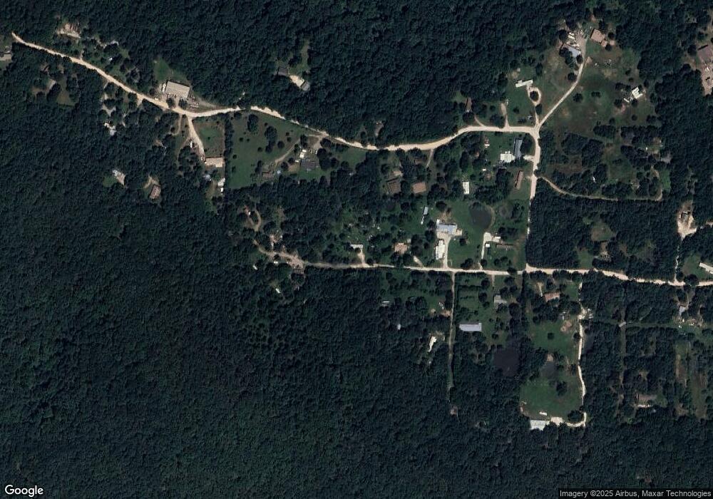
Map
Nearby Homes
- 14648 Director Rd
- 12063 W Highway 156
- 10973 Arkansas 156
- 14516 Friendship Church Rd
- 12930 Baker Mountain Rd
- 30.47 Acres Onda Mountain (Wc 213)
- 12685 N Billingsley Rd
- 00 8.86 acres Hubbard Rd
- 00 Hubbard Rd
- 15607 Hubbard Rd
- 16977 Holcombe School Rd
- 16293 Arkansas 265
- 16891 Holcombe School Rd
- 14673 Union Star Rd
- 13653 W Mountain Rd
- TBD Wooten Rd Rd
- 16291 S Highway 265
- 170 Arkansas 170
- 0000- Hwy 170 Devils Arkansas 170
- 11836 Fresno Rd
- 11895 Fresno Rd
- 11867 Sheehan Rd
- 11790 Fresno Rd
- 11796 Fresno Rd
- 11864 Sheehan Rd
- 11791 Sheehan Rd
- 11787 Fresno Rd
- 11893 Sheehan Rd
- 12026 Sheehan Rd
- 11753 Sheehan Rd
- 11739 Sheehan Rd
- 12060 Sheehan Rd
- 11692 Sheehan Rd
- 12080 Sheehan Rd
- 11655 Elder Rd
- 11774 Sheehan Rd
- 11655 Sheehan Rd
- 12064 Sheehan Rd
- 12109 Sheehan Rd