11853 N 12500e Rd Beecher, IL 60401
Estimated Value: $117,000 - $179,603
--
Bed
--
Bath
--
Sq Ft
0.65
Acres
About This Home
This home is located at 11853 N 12500e Rd, Beecher, IL 60401 and is currently estimated at $142,201. 11853 N 12500e Rd is a home located in Kankakee County with nearby schools including Grant Park Elementary School and Grant Park High School.
Ownership History
Date
Name
Owned For
Owner Type
Purchase Details
Closed on
Jul 12, 2018
Sold by
Martin Donna H
Bought by
Ruhbeck Eric S
Current Estimated Value
Home Financials for this Owner
Home Financials are based on the most recent Mortgage that was taken out on this home.
Original Mortgage
$71,250
Outstanding Balance
$62,260
Interest Rate
4.88%
Mortgage Type
New Conventional
Estimated Equity
$79,941
Create a Home Valuation Report for This Property
The Home Valuation Report is an in-depth analysis detailing your home's value as well as a comparison with similar homes in the area
Home Values in the Area
Average Home Value in this Area
Purchase History
| Date | Buyer | Sale Price | Title Company |
|---|---|---|---|
| Ruhbeck Eric S | $75,000 | Antonopoulous John |
Source: Public Records
Mortgage History
| Date | Status | Borrower | Loan Amount |
|---|---|---|---|
| Open | Ruhbeck Eric S | $71,250 |
Source: Public Records
Tax History Compared to Growth
Tax History
| Year | Tax Paid | Tax Assessment Tax Assessment Total Assessment is a certain percentage of the fair market value that is determined by local assessors to be the total taxable value of land and additions on the property. | Land | Improvement |
|---|---|---|---|---|
| 2024 | $3,804 | $50,063 | $11,285 | $38,778 |
| 2023 | $3,286 | $45,102 | $10,167 | $34,935 |
| 2022 | $3,149 | $41,761 | $9,414 | $32,347 |
| 2021 | $3,051 | $40,349 | $9,096 | $31,253 |
| 2020 | $3,012 | $38,797 | $8,746 | $30,051 |
| 2019 | $2,957 | $37,851 | $8,533 | $29,318 |
| 2018 | $2,246 | $36,659 | $8,264 | $28,395 |
| 2017 | $2,263 | $36,296 | $8,182 | $28,114 |
| 2016 | $2,169 | $35,068 | $7,905 | $27,163 |
| 2015 | $2,094 | $33,558 | $7,565 | $25,993 |
| 2014 | $1,991 | $32,581 | $7,345 | $25,236 |
| 2013 | -- | $33,162 | $7,476 | $25,686 |
Source: Public Records
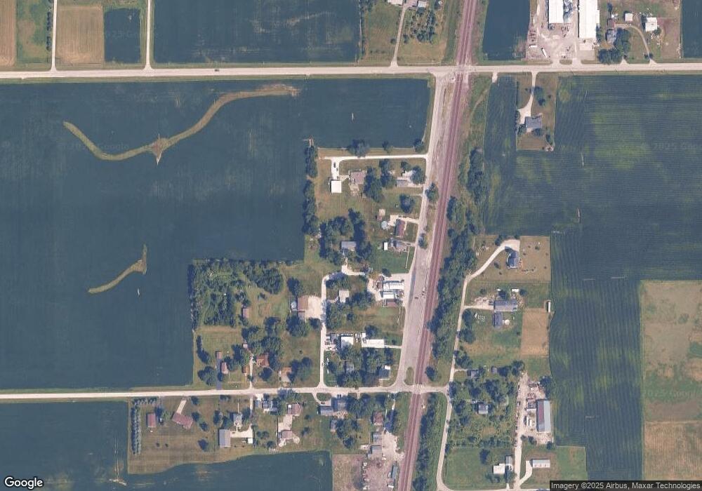
Map
Nearby Homes
- 936 W Corning Rd
- 944 E County Line Rd
- 286 S Woodward St
- SEC of Rt. 1 9000 N
- 617 Melrose Ln
- 510 Dunbar St
- 0 W Indiana Ave
- 652 Penfield St
- 648 Penfield St
- 710 Elliott St
- 741 Dunbar St
- 717 Miller St
- 11338 E 9000 Rd N
- 15626 Dr
- 15594 Dr
- 15583 Dr
- 15615 Dr
- 15566 Deer Path - Lot 4 Dr
- 15527 Deer Path - Lot 10 Dr
- 0000 E Indiana Ave
- 11934 N Sollitt Rd
- 11864 N Sollitt Rd
- 11886 N Sollitt Rd
- 11817 N 12500e Rd
- 11830 Sollitt Rd
- 11904 N Sollitt Rd
- 11806 N 12500e Rd
- 11910 N Sollitt Rd
- 12471 E 11750 Rd N
- 12471 E 11750n Rd
- 12521 E 11750n Rd
- 12547 E 11750n Rd
- 12443 E 11750n Rd
- 12417 E 11750n Rd
- 11819 N 12600e Rd
- 12558 E 11750n Rd
- 12528 E 11750n Rd
- 12448 E 11750n Rd
- 12508 E 11750n Rd
- 12657 E 11670n Rd