1186 County Road 2560 Alvord, TX 76225
Estimated Value: $715,000
--
Bed
2
Baths
1,875
Sq Ft
$381/Sq Ft
Est. Value
About This Home
This home is located at 1186 County Road 2560, Alvord, TX 76225 and is currently estimated at $715,000, approximately $381 per square foot. 1186 County Road 2560 is a home located in Wise County with nearby schools including Alvord Elementary School, Alvord Middle School, and Alvord High School.
Ownership History
Date
Name
Owned For
Owner Type
Purchase Details
Closed on
Oct 16, 2015
Sold by
Austin William E and Austin Kristi
Bought by
Miles Irrevocable Trust and Miles Cynthia
Current Estimated Value
Home Financials for this Owner
Home Financials are based on the most recent Mortgage that was taken out on this home.
Original Mortgage
$250,000
Interest Rate
3.9%
Mortgage Type
Purchase Money Mortgage
Purchase Details
Closed on
Mar 6, 2015
Sold by
Wright James Dale and Wright Sheryle
Bought by
Austin William E and Austin Kristi D
Create a Home Valuation Report for This Property
The Home Valuation Report is an in-depth analysis detailing your home's value as well as a comparison with similar homes in the area
Home Values in the Area
Average Home Value in this Area
Purchase History
| Date | Buyer | Sale Price | Title Company |
|---|---|---|---|
| Miles Irrevocable Trust | -- | None Available | |
| Austin William E | -- | None Available | |
| Wright James Dale | -- | None Available |
Source: Public Records
Mortgage History
| Date | Status | Borrower | Loan Amount |
|---|---|---|---|
| Closed | Miles Irrevocable Trust | $250,000 |
Source: Public Records
Tax History Compared to Growth
Tax History
| Year | Tax Paid | Tax Assessment Tax Assessment Total Assessment is a certain percentage of the fair market value that is determined by local assessors to be the total taxable value of land and additions on the property. | Land | Improvement |
|---|---|---|---|---|
| 2025 | $2,022 | $276,668 | -- | -- |
| 2024 | $2,022 | $253,080 | $0 | $0 |
| 2023 | $2,753 | $509,366 | $0 | $0 |
| 2022 | $3,274 | $437,452 | $0 | $0 |
| 2021 | $2,803 | $378,030 | $220,400 | $157,630 |
| 2020 | $2,606 | $303,480 | $155,790 | $147,690 |
| 2019 | $2,704 | $299,090 | $155,790 | $143,300 |
| 2018 | $2,641 | $275,720 | $136,800 | $138,920 |
| 2017 | $2,426 | $243,870 | $115,900 | $127,970 |
| 2016 | $2,231 | $225,580 | $106,400 | $119,180 |
| 2015 | -- | $216,580 | $106,400 | $110,180 |
| 2014 | -- | $117,020 | $5,600 | $111,420 |
Source: Public Records
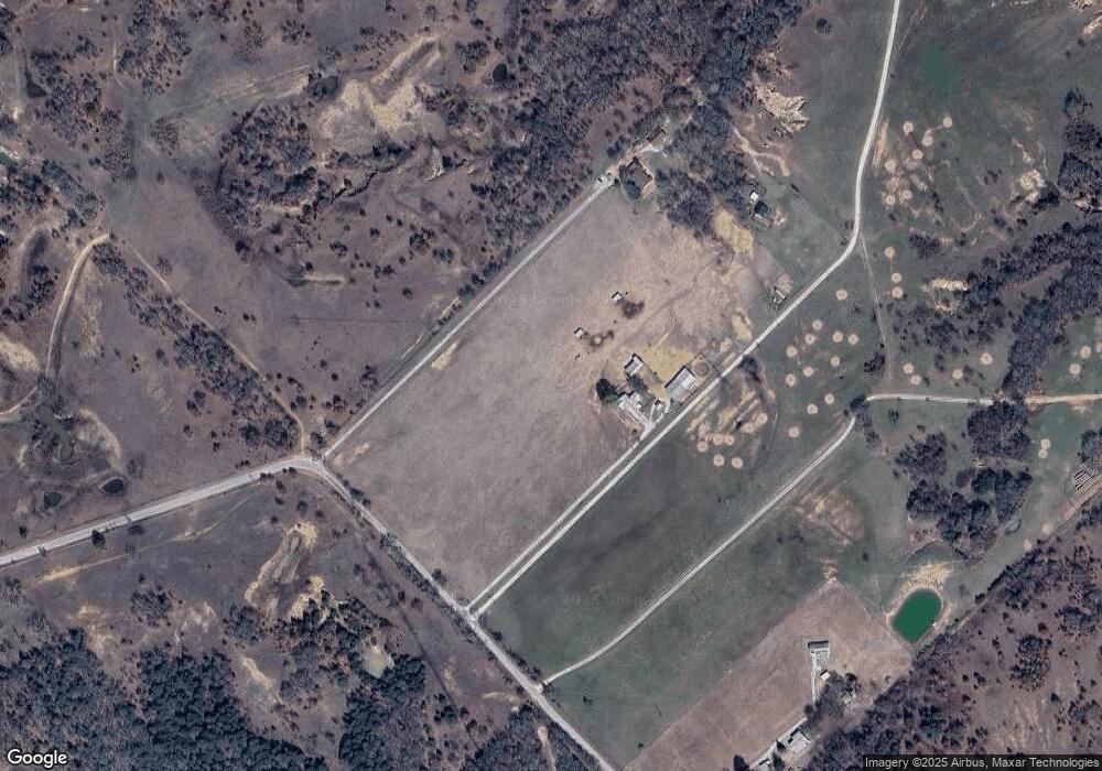
Map
Nearby Homes
- TBD 13.7+/- Acres County Road 2560
- 0 Pr-2777 Unit 21021129
- 1411 Parker Dairy Rd
- 174 County Road 2690
- TBD Parker Dairy Rd
- 1370 Parker Dairy Rd
- 2454 Private Rd
- 850 County Road 2750
- TBD Pr 2454
- TBD Lot 7 Parker Dairy Rd
- TBD Cr 2675
- 2080 County Road 2445
- 1230 County Road 2475
- 1220 County Road 2475
- 1200 County Road 2475
- 334 Greanead Rd
- 1006 County Road 2475
- 3688 N Fm 1655
- TBD3 N Fm 730
- Tract 2 County Rd 2745
- 1186 County Road 2560
- Tract 1 Private Road 2562
- Tract 2 Private Road 2562
- 1230 County Road 2560
- 1104 County Road 2560
- 475 Private Road 2562
- Tract 4 Private Road 2562
- Tract 5 Private Road 2562
- 457 Private Road 2562
- Tract 7 Private Road 2562
- 931 County Road 2560
- 0 County Road 2560
- Tract 6 Private Road 2562
- 00 County Road 2659
- TBD County Road 2560
- 00 County Road 2560
- 156 County Road 2659
- 184 County Road 2659