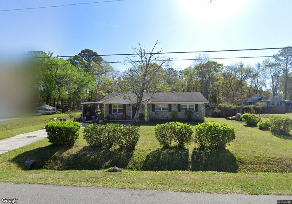
1186 Pauline Ave Charleston, SC 29412
James Island NeighborhoodEstimated Value: $413,494 - $593,000
3
Beds
2
Baths
1,100
Sq Ft
$439/Sq Ft
Est. Value
About This Home
This home is located at 1186 Pauline Ave, Charleston, SC 29412 and is currently estimated at $483,374, approximately $439 per square foot. 1186 Pauline Ave is a home located in Charleston County with nearby schools including James Island Elementary School, Camp Road Middle, and Septima P Clark Corporate Academy.
Ownership History
Date
Name
Owned For
Owner Type
Purchase Details
Closed on
May 3, 2013
Sold by
Hamilton Frances L
Bought by
Peterson Gregory William and Peterson Carla Lyn
Current Estimated Value
Home Financials for this Owner
Home Financials are based on the most recent Mortgage that was taken out on this home.
Original Mortgage
$77,000
Outstanding Balance
$54,832
Interest Rate
3.59%
Mortgage Type
New Conventional
Estimated Equity
$428,542
Create a Home Valuation Report for This Property
The Home Valuation Report is an in-depth analysis detailing your home's value as well as a comparison with similar homes in the area
Home Values in the Area
Average Home Value in this Area
Purchase History
| Date | Buyer | Sale Price | Title Company |
|---|---|---|---|
| Peterson Gregory William | $110,000 | -- |
Source: Public Records
Mortgage History
| Date | Status | Borrower | Loan Amount |
|---|---|---|---|
| Open | Peterson Gregory William | $77,000 |
Source: Public Records
Tax History Compared to Growth
Tax History
| Year | Tax Paid | Tax Assessment Tax Assessment Total Assessment is a certain percentage of the fair market value that is determined by local assessors to be the total taxable value of land and additions on the property. | Land | Improvement |
|---|---|---|---|---|
| 2024 | $2,935 | $10,350 | $0 | $0 |
| 2023 | $2,935 | $10,350 | $0 | $0 |
| 2022 | $2,670 | $10,350 | $0 | $0 |
| 2021 | $2,658 | $10,350 | $0 | $0 |
| 2020 | $2,603 | $10,350 | $0 | $0 |
| 2019 | $2,417 | $9,000 | $0 | $0 |
| 2017 | $2,368 | $9,000 | $0 | $0 |
| 2016 | $2,291 | $9,000 | $0 | $0 |
| 2015 | $2,191 | $9,000 | $0 | $0 |
| 2014 | $2,130 | $0 | $0 | $0 |
| 2011 | -- | $0 | $0 | $0 |
Source: Public Records
Map
Nearby Homes
- 1153 Pauline Ave
- 1152 Bradford Ave
- 1206 Folly Rd
- 1530 Fort Johnson Rd Unit 1E
- 1530 Fort Johnson Rd Unit 1L
- 1135 Bellwood Rd
- 1232 Silverleaf Cir
- 1540 Fort Johnson Rd
- 1341 Witter St
- 1030 Pauline Ave
- 1404 Ivy Isle Dr
- 1764 Ashworth Ln
- 0 Folly Rd Unit 24015136
- 1056 Yorktown Dr
- 1014 Arborwood Dr
- 1512 Seacroft Rd
- 1039 Yorktown Dr
- 0 Turkey Pen Rd Unit 16023532
- 1547 Seacroft Rd
- 1393 Secessionville Rd
- 0 Pauline Ave Unit 9908956
- 0 Pauline Ave Unit 1216162
- 0 Pauline Ave Unit 1307306
- 0 Pauline Ave
- 1192 Pauline Ave
- 1182 Pauline Ave
- 1516 Wilton St
- 1176 Pauline Ave
- 1181 Pauline Ave
- 1039 Oakcrest Dr
- 1192 Bradford Ave
- 1041 Oakcrest Dr
- 1206 Pauline Ave
- 1180 Bradford Ave
- 1045 Oakcrest Dr
- 1172 Pauline Ave
- 1037 Oakcrest Dr
- 1208 Pauline Ave
- 1617 Wilton St
- 1604 Wilton St