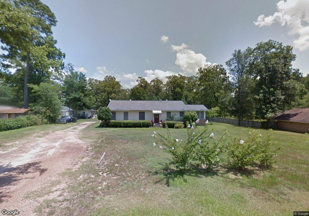
1186 Shady Ln Gibsland, LA 71028
Estimated Value: $89,000 - $115,000
--
Bed
--
Bath
--
Sq Ft
0.88
Acres
About This Home
This home is located at 1186 Shady Ln, Gibsland, LA 71028 and is currently estimated at $100,847. 1186 Shady Ln is a home with nearby schools including Gibsland-Coleman High School.
Ownership History
Date
Name
Owned For
Owner Type
Purchase Details
Closed on
Nov 26, 2008
Sold by
Salter Margaret Palmer Napper and Palmer Henry Raymond
Bought by
Johnson Vincent Derran and Johnson Mary Faye Green
Current Estimated Value
Home Financials for this Owner
Home Financials are based on the most recent Mortgage that was taken out on this home.
Original Mortgage
$53,016
Outstanding Balance
$34,790
Interest Rate
5.99%
Estimated Equity
$66,057
Create a Home Valuation Report for This Property
The Home Valuation Report is an in-depth analysis detailing your home's value as well as a comparison with similar homes in the area
Home Values in the Area
Average Home Value in this Area
Purchase History
| Date | Buyer | Sale Price | Title Company |
|---|---|---|---|
| Johnson Vincent Derran | $49,000 | -- |
Source: Public Records
Mortgage History
| Date | Status | Borrower | Loan Amount |
|---|---|---|---|
| Open | Johnson Vincent Derran | $53,016 |
Source: Public Records
Tax History Compared to Growth
Tax History
| Year | Tax Paid | Tax Assessment Tax Assessment Total Assessment is a certain percentage of the fair market value that is determined by local assessors to be the total taxable value of land and additions on the property. | Land | Improvement |
|---|---|---|---|---|
| 2024 | $41 | $4,526 | $351 | $4,175 |
| 2023 | $52 | $4,526 | $351 | $4,175 |
| 2022 | $565 | $4,526 | $351 | $4,175 |
| 2021 | $638 | $4,526 | $351 | $4,175 |
| 2020 | $603 | $4,526 | $351 | $4,175 |
| 2019 | $645 | $4,900 | $220 | $4,680 |
| 2018 | $643 | $4,900 | $220 | $4,680 |
| 2017 | $677 | $4,900 | $220 | $4,680 |
| 2016 | $677 | $4,900 | $220 | $4,680 |
| 2015 | $642 | $4,900 | $220 | $4,680 |
| 2014 | $534 | $0 | $0 | $0 |
| 2013 | $608 | $0 | $0 | $0 |
Source: Public Records
Map
Nearby Homes
- 1910 Main St
- 1432 Louisiana 795
- 12801 Highway 154
- Cato Rd
- 0 Oscar Kilpatrick Rd
- Penal Farm Road Lot Unit Wp001
- 2539 Corley St
- 2184 2nd St
- 780 Barnes Rd
- 1977 S Railroad Ave
- 0 Rural Unit 21124258
- 15520 Highway 9
- 1646 Sycamore St
- 2070 Hazel St
- 2114 Laurel St
- 3936 College St
- 0 Hazel St
- 0 Hazel St Unit 2530676
- 1618 Hazel St
- P-1 Stuckey Rd
- 1138 Shady Ln
- 1218 Shady Ln
- 1221 Hilltop St
- 1199 Shady Ln
- 1222 Hilltop St
- 1050 Shady Ln
- 1191 Southfield Rd
- 956 Hilltop St
- 1276 Garden St
- 1073 Main St
- 812 Oak Grove Rd
- 1267 Oak Grove Rd
- 846 Hilltop St
- 1319 Annette
- 1314 Garden St
- 1339 Main St
- 1329 Garden St
- 1361 Annette
- 1162 Pinehaven Rd
- 1368 Annette St