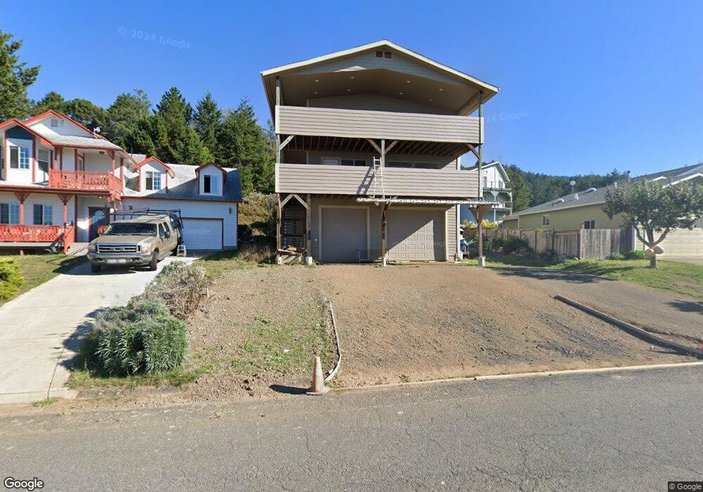
1186 Upper Pacific Dr Whitethorn, CA 95589
Shelter Cove AreaEstimated Value: $295,000 - $477,000
Studio
--
Bath
--
Sq Ft
4,356
Sq Ft Lot
About This Home
This home is located at 1186 Upper Pacific Dr, Whitethorn, CA 95589 and is currently estimated at $377,492. 1186 Upper Pacific Dr is a home located in Humboldt County.
Ownership History
We collect this data history from publicly available records. To have your information removed, we recommend requesting removal directly through your county’s website.
Date
Name
Owned For
Owner Type
Purchase Details
Closed on
Jun 8, 2006
Sold by
Bought by
Current Estimated Value
Purchase Details
Closed on
Sep 22, 1999
Sold by
Bought by
Create a Home Valuation Report for This Property
The Home Valuation Report is an in-depth analysis detailing your home's value as well as a comparison with similar homes in the area
Home Values in the Area
Average Home Value in this Area
Purchase History
We collect this data history from publicly available records. To have your information removed, we recommend requesting removal directly through your county’s website.
| Date | Buyer | Sale Price | Title Company |
|---|---|---|---|
| -- | None Available | ||
| $33,000 | First American Title Co |
Source: Public Records
Tax History
We collect this data history from publicly available records. To have your information removed, we recommend requesting removal directly through your county’s website.
| Year | Tax Paid | Tax Assessment Tax Assessment Total Assessment is a certain percentage of the fair market value that is determined by local assessors to be the total taxable value of land and additions on the property. | Land | Improvement |
|---|---|---|---|---|
| 2025 | $2,457 | $202,767 | $49,151 | $153,616 |
| 2024 | $2,457 | $198,792 | $48,188 | $150,604 |
| 2023 | $2,466 | $194,895 | $47,244 | $147,651 |
| 2022 | $2,432 | $191,074 | $46,318 | $144,756 |
| 2021 | $2,349 | $187,328 | $45,410 | $141,918 |
| 2020 | $2,362 | $185,408 | $44,945 | $140,463 |
| 2019 | $2,310 | $181,773 | $44,064 | $137,709 |
| 2018 | $2,274 | $178,209 | $43,200 | $135,009 |
| 2017 | $2,136 | $174,715 | $42,353 | $132,362 |
| 2016 | $2,124 | $171,290 | $41,523 | $129,767 |
| 2015 | $1,722 | $133,556 | $40,900 | $92,656 |
| 2014 | $1,827 | $149,369 | $40,099 | $109,270 |
Source: Public Records
Map
Nearby Homes
- 1208 Upper Pacific Dr
- 5 Seafoam Rd
- 23 Seafoam Rd
- 371 Upper Pacific Dr
- 1445 Upper Pacific Dr
- 1198 Upper Pacific Dr
- 1455 Upper Pacific Dr
- 1422 Upper Pacific Dr
- 1169 Upper Pacific Dr
- 570 Upper Pacific Dr
- 622 Upper Pacific Dr
- 13 Seafoam Rd
- 313 Du Luard Rd
- 1213 Upper Pacific Dr
- 130 Mcmains Ct
- 130 McMain Ct
- 1191 Upper Pacific Dr
- 1227 Upper Pacific Dr
- 45 Seafoam Rd
- 20 Seafoam Rd
Your Personal Tour Guide
Ask me questions while you tour the home.