Estimated Value: $89,000 - $118,000
--
Bed
1
Bath
1,125
Sq Ft
$91/Sq Ft
Est. Value
About This Home
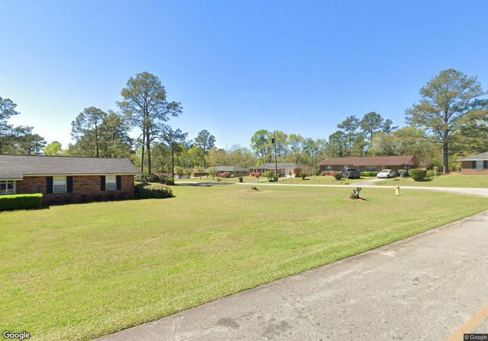
This home is located at 1186 Willie C Harris Dr, Cairo, GA 39828 and is currently estimated at $102,802, approximately $91 per square foot. 1186 Willie C Harris Dr is a home located in Grady County with nearby schools including Cairo High School.
Ownership History
Date
Name
Owned For
Owner Type
Purchase Details
Closed on
May 6, 2020
Sold by
Forrest Quinton L
Bought by
Forrest Quinton L and Forrest Brittney C
Current Estimated Value
Purchase Details
Closed on
Jun 26, 2006
Sold by
Forrest Sandra S
Bought by
Forrest Quinton L
Purchase Details
Closed on
Nov 15, 1976
Bought by
Forrest Quinton L
Create a Home Valuation Report for This Property
The Home Valuation Report is an in-depth analysis detailing your home's value as well as a comparison with similar homes in the area
Home Values in the Area
Average Home Value in this Area
Purchase History
| Date | Buyer | Sale Price | Title Company |
|---|---|---|---|
| Forrest Quinton L | -- | -- | |
| Forrest Quinton L | -- | -- | |
| Forrest Quinton L | -- | -- |
Source: Public Records
Tax History Compared to Growth
Tax History
| Year | Tax Paid | Tax Assessment Tax Assessment Total Assessment is a certain percentage of the fair market value that is determined by local assessors to be the total taxable value of land and additions on the property. | Land | Improvement |
|---|---|---|---|---|
| 2024 | $1,549 | $40,816 | $2,500 | $38,316 |
| 2023 | $880 | $25,443 | $3,104 | $22,339 |
| 2022 | $918 | $25,443 | $3,104 | $22,339 |
| 2021 | $920 | $25,443 | $3,104 | $22,339 |
| 2020 | $923 | $25,443 | $3,104 | $22,339 |
| 2019 | $923 | $25,443 | $3,104 | $22,339 |
| 2018 | $878 | $25,443 | $3,104 | $22,339 |
| 2017 | $845 | $25,443 | $3,104 | $22,339 |
| 2016 | $715 | $21,294 | $3,104 | $18,190 |
| 2015 | $708 | $21,294 | $3,104 | $18,190 |
| 2014 | $708 | $21,294 | $3,104 | $18,190 |
| 2013 | -- | $18,782 | $3,104 | $15,678 |
Source: Public Records
Map
Nearby Homes
- 786 Madison Ln
- 425 8th St SW
- 490 13th St SW
- 320 8th St SW
- 1385 Martin Luther King Junior Ave
- 117 Pine Cir SW
- 460 2nd St SW
- 112 Pine Cir SW
- 109 Oriac Ave SW
- 720 1st St SW
- 000 1st Ave SW
- 117 6th St SW
- 27 6th Ave SW
- 000 Hwy 111 South 20 59 Acres
- 40 5th Ave SW
- 000 S Broad St
- 1193 S Broad St
- 270 Muggridge Ln
- 75 14th Ave SE
- X 1st St
- 1188 Willie C Harris Dr
- 1184 Willie C Harris Dr
- 1182 Willie C Harris Dr
- 1190 Willie C Harris Dr
- 1185 Willie C Harris Dr
- 1187 Willie C Harris Dr
- 628 Madison Ln
- 1180 Willie C Harris Dr
- 1189 Willie C Harris Dr
- 1192 Willie C Harris Dr
- 1193 Willie C Harris Dr
- 1178 Willie C Harris Dr
- 758 Madison Ln
- 790 Madison Cir SW
- 627 Madison Ln
- 1176 Willie C Harris Dr
- 794 Madison Cir SW
- 641 Madison Ln
- 1175 Willie C Harris Dr
- 755 Madison Ln