Estimated Value: $328,000 - $395,000
3
Beds
2
Baths
2,503
Sq Ft
$145/Sq Ft
Est. Value
About This Home
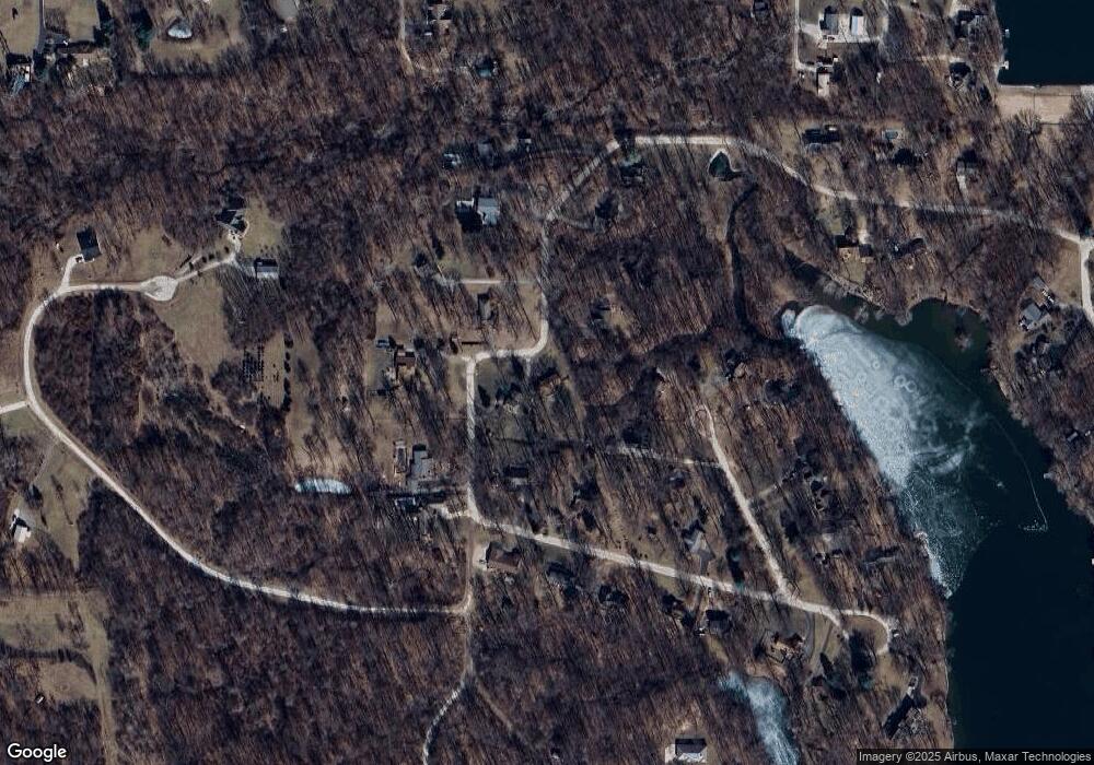
This home is located at 11865 N Michael Ln, Camby, IN 46113 and is currently estimated at $362,938, approximately $145 per square foot. 11865 N Michael Ln is a home located in Morgan County with nearby schools including Mooresville High School.
Ownership History
Date
Name
Owned For
Owner Type
Purchase Details
Closed on
Jan 5, 2009
Sold by
Merriman James and Merriman Katie
Bought by
Shields Paul E and Shields Janet L
Current Estimated Value
Home Financials for this Owner
Home Financials are based on the most recent Mortgage that was taken out on this home.
Original Mortgage
$126,650
Outstanding Balance
$81,538
Interest Rate
5.53%
Mortgage Type
New Conventional
Estimated Equity
$281,400
Purchase Details
Closed on
Mar 28, 2007
Sold by
Merriman James
Bought by
Merriman James and Merriman Katie
Purchase Details
Closed on
Nov 6, 2006
Sold by
Wayner Jay C
Bought by
Midfirst Bank
Purchase Details
Closed on
Jul 26, 2005
Sold by
Secretary Of Hud
Bought by
Merriman James
Home Financials for this Owner
Home Financials are based on the most recent Mortgage that was taken out on this home.
Original Mortgage
$106,400
Interest Rate
6.31%
Mortgage Type
New Conventional
Create a Home Valuation Report for This Property
The Home Valuation Report is an in-depth analysis detailing your home's value as well as a comparison with similar homes in the area
Home Values in the Area
Average Home Value in this Area
Purchase History
| Date | Buyer | Sale Price | Title Company |
|---|---|---|---|
| Shields Paul E | -- | None Available | |
| Merriman James | -- | -- | |
| Midfirst Bank | $136,949 | None Available | |
| Merriman James | -- | -- |
Source: Public Records
Mortgage History
| Date | Status | Borrower | Loan Amount |
|---|---|---|---|
| Open | Shields Paul E | $126,650 | |
| Previous Owner | Merriman James | $106,400 |
Source: Public Records
Tax History Compared to Growth
Tax History
| Year | Tax Paid | Tax Assessment Tax Assessment Total Assessment is a certain percentage of the fair market value that is determined by local assessors to be the total taxable value of land and additions on the property. | Land | Improvement |
|---|---|---|---|---|
| 2024 | $1,858 | $281,600 | $62,800 | $218,800 |
| 2023 | $1,646 | $299,800 | $62,800 | $237,000 |
| 2022 | $1,755 | $263,600 | $62,800 | $200,800 |
| 2021 | $977 | $221,300 | $43,300 | $178,000 |
| 2020 | $1,315 | $214,400 | $43,300 | $171,100 |
| 2019 | $1,393 | $196,400 | $43,300 | $153,100 |
| 2018 | $1,287 | $185,200 | $43,300 | $141,900 |
| 2017 | $755 | $181,400 | $43,300 | $138,100 |
| 2016 | $1,308 | $181,400 | $43,300 | $138,100 |
| 2014 | $732 | $179,600 | $43,300 | $136,300 |
| 2013 | $732 | $183,400 | $43,300 | $140,100 |
Source: Public Records
Map
Nearby Homes
- 12196 N Beth Ann Dr
- 7754 E North Dr
- 6189 E Neitzel Rd
- 0 N Oak Dr Unit MBR22050808
- 6010 E Hadley Rd
- 12619 N Slideoff Rd
- 13104 N Etna Green Dr
- 13116 N Becks Grove Dr
- 13346 N Miller Dr
- 13264 N Forest Dr
- 13303 N Etna Green Dr
- 13398 N Largo Ct
- 5452 E Hadley Rd
- 5645 E Marjorie Ct
- 6542 E Edna Mills Dr
- 00 Boncquet Terrace
- 6957 E Old State Rd
- 5650 Donald Ct E
- 6420 E Walton Dr N
- 5491 E Shae Lake Dr
- 11809 N Michael Ln
- 6843 E Ann St
- 0 N Michael Ln Unit 21239403
- 0 Michael Ln Unit 21476025
- 11858 N David Dr
- 11882 N David Dr
- 6811 E Ann St
- 7043 E Candice Dr
- 11862 N Michael Ln
- 11830 N David Dr
- 2121 N Michael Ln
- 1030 Ann St
- 11818 N Michael Ln
- 11852 N Michael Ln
- 0 N Earls Ln
- 0 N Earls Ln Unit MBR21292864
- 11865 N David Dr
- 7061 E Candice Dr
- 7068 E Candice Dr
- 6876 E Ann St
