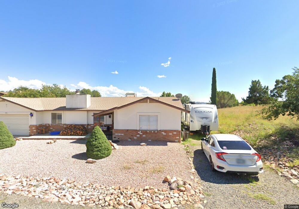
11867 E Stirrup High Dr W Dewey, AZ 86327
Prescott Golf & Country Club NeighborhoodEstimated Value: $461,000 - $512,000
4
Beds
3
Baths
2,030
Sq Ft
$241/Sq Ft
Est. Value
About This Home
This home is located at 11867 E Stirrup High Dr W, Dewey, AZ 86327 and is currently estimated at $488,921, approximately $240 per square foot. 11867 E Stirrup High Dr W is a home located in Yavapai County with nearby schools including Lake Valley Elementary School, Glassford Hill Middle School, and Bradshaw Mountain High School.
Ownership History
Date
Name
Owned For
Owner Type
Purchase Details
Closed on
Jun 11, 2003
Sold by
Mckinney Charles J
Bought by
Mckinney Charles J and Diebolt Carol A
Current Estimated Value
Home Financials for this Owner
Home Financials are based on the most recent Mortgage that was taken out on this home.
Original Mortgage
$145,000
Outstanding Balance
$62,733
Interest Rate
5.61%
Mortgage Type
VA
Estimated Equity
$426,188
Purchase Details
Closed on
May 29, 2003
Sold by
Neveau Floyd J and Neveau Dawn
Bought by
Mckinney Charles J
Home Financials for this Owner
Home Financials are based on the most recent Mortgage that was taken out on this home.
Original Mortgage
$145,000
Outstanding Balance
$62,733
Interest Rate
5.61%
Mortgage Type
VA
Estimated Equity
$426,188
Purchase Details
Closed on
Jun 9, 1998
Sold by
Schafsnitz Nick P and Schafsnitz Geneva I
Bought by
Neveau Floyd J and Neveau Dawn
Create a Home Valuation Report for This Property
The Home Valuation Report is an in-depth analysis detailing your home's value as well as a comparison with similar homes in the area
Home Values in the Area
Average Home Value in this Area
Purchase History
| Date | Buyer | Sale Price | Title Company |
|---|---|---|---|
| Mckinney Charles J | -- | Transnation Title Ins Co | |
| Mckinney Charles J | $165,000 | Transnation Title Ins Co | |
| Neveau Floyd J | -- | Chicago Title Insurance Co |
Source: Public Records
Mortgage History
| Date | Status | Borrower | Loan Amount |
|---|---|---|---|
| Open | Mckinney Charles J | $145,000 |
Source: Public Records
Tax History Compared to Growth
Tax History
| Year | Tax Paid | Tax Assessment Tax Assessment Total Assessment is a certain percentage of the fair market value that is determined by local assessors to be the total taxable value of land and additions on the property. | Land | Improvement |
|---|---|---|---|---|
| 2026 | $1,658 | $37,021 | -- | -- |
| 2024 | $1,510 | $38,761 | -- | -- |
| 2023 | $1,510 | $32,143 | $0 | $0 |
| 2022 | $1,483 | $26,005 | $4,061 | $21,944 |
| 2021 | $1,537 | $23,423 | $4,074 | $19,349 |
| 2020 | $1,464 | $0 | $0 | $0 |
| 2019 | $1,434 | $0 | $0 | $0 |
| 2018 | $1,351 | $0 | $0 | $0 |
| 2017 | $1,311 | $0 | $0 | $0 |
| 2016 | $1,252 | $0 | $0 | $0 |
| 2015 | $1,220 | $0 | $0 | $0 |
| 2014 | -- | $0 | $0 | $0 |
Source: Public Records
Map
Nearby Homes
- 11820 E Stirrup High Dr E
- 11847 E Stirrup High Dr E
- 819 N Winchester Way
- 776 N Maverick Trail
- 11992 E Rawhide Ridge
- 864 N Mountain Brush Dr
- 12070 E Pepper Tree Way
- 914 N Ponderosa Pine Dr
- 942 Latigo Ln
- 952 N Mesquite Tree Dr
- 11873 E Turquoise Cir Unit 2
- 850 N Ponderosa Pine Dr
- 850 N Ponderosa Pine Dr
- 12200 E Obsidian Loop Rd
- 872 N Mesquite Tree Dr
- 12140 E Peppertree Way
- 12185 E Stonehenge Way
- 885 N Mesquite Tree Dr
- 11613 E Silver Spur
- 12026 E Turquoise Cir
- 11811 E Stirrup High Dr W
- 832 N Old Chisholm Trail
- 848 N Old Chisholm Trail
- 862 N Old Chisholm Trail
- 820 N Old Chisholm Trail
- 878 N Old Chisholm Trail
- 878 N Old Chisholm Trail
- 845 N Old Chisholm Trail Unit 103
- 845 N Old Chisholm Trail
- 845 N Old Chisholm Trail Unit 1
- 808 N Old Chisholm Trail
- 857 N Old Chisholm Trail
- 857 N Old Chisholm Trail Unit 3
- 831 N Old Chisholm Trail
- 873 N Old Chisholm Trail
- 873 N Old Chisholm Trail Unit A
- 873 N Old Chisholm Trail
- 796 N Old Chisholm Trail
- 1095 N Old Chisholm Trail Unit 1
- 91 N Old Chisholm Trail