1187 N 2800 E Enterprise, UT 84725
Estimated Value: $328,000 - $436,000
3
Beds
2
Baths
1,506
Sq Ft
$246/Sq Ft
Est. Value
About This Home
This home is located at 1187 N 2800 E, Enterprise, UT 84725 and is currently estimated at $370,401, approximately $245 per square foot. 1187 N 2800 E is a home located in Washington County with nearby schools including Enterprise School and Enterprise High School.
Ownership History
Date
Name
Owned For
Owner Type
Purchase Details
Closed on
Jan 29, 2013
Sold by
Swenson Terry K
Bought by
Swenson Terry K and Swenson Susan M
Current Estimated Value
Purchase Details
Closed on
Dec 13, 2010
Sold by
Citicorp Trust Bank Fsb
Bought by
Swenson Terry K
Home Financials for this Owner
Home Financials are based on the most recent Mortgage that was taken out on this home.
Original Mortgage
$64,000
Interest Rate
4.15%
Mortgage Type
New Conventional
Create a Home Valuation Report for This Property
The Home Valuation Report is an in-depth analysis detailing your home's value as well as a comparison with similar homes in the area
Purchase History
| Date | Buyer | Sale Price | Title Company |
|---|---|---|---|
| Swenson Terry K | -- | None Available | |
| Swenson Terry K | -- | First American Union Heights |
Source: Public Records
Mortgage History
| Date | Status | Borrower | Loan Amount |
|---|---|---|---|
| Previous Owner | Swenson Terry K | $64,000 |
Source: Public Records
Tax History
| Year | Tax Paid | Tax Assessment Tax Assessment Total Assessment is a certain percentage of the fair market value that is determined by local assessors to be the total taxable value of land and additions on the property. | Land | Improvement |
|---|---|---|---|---|
| 2025 | $107 | $159,555 | $52,910 | $106,645 |
| 2023 | $149 | $161,920 | $46,695 | $115,225 |
| 2022 | $172 | $148,335 | $31,130 | $117,205 |
| 2021 | $115 | $204,400 | $39,600 | $164,800 |
| 2020 | $909 | $188,700 | $49,600 | $139,100 |
| 2019 | $880 | $177,600 | $49,600 | $128,000 |
| 2018 | $868 | $91,045 | $0 | $0 |
| 2017 | $781 | $81,915 | $0 | $0 |
| 2016 | $842 | $81,915 | $0 | $0 |
| 2015 | $874 | $81,915 | $0 | $0 |
| 2014 | $798 | $75,645 | $0 | $0 |
Source: Public Records
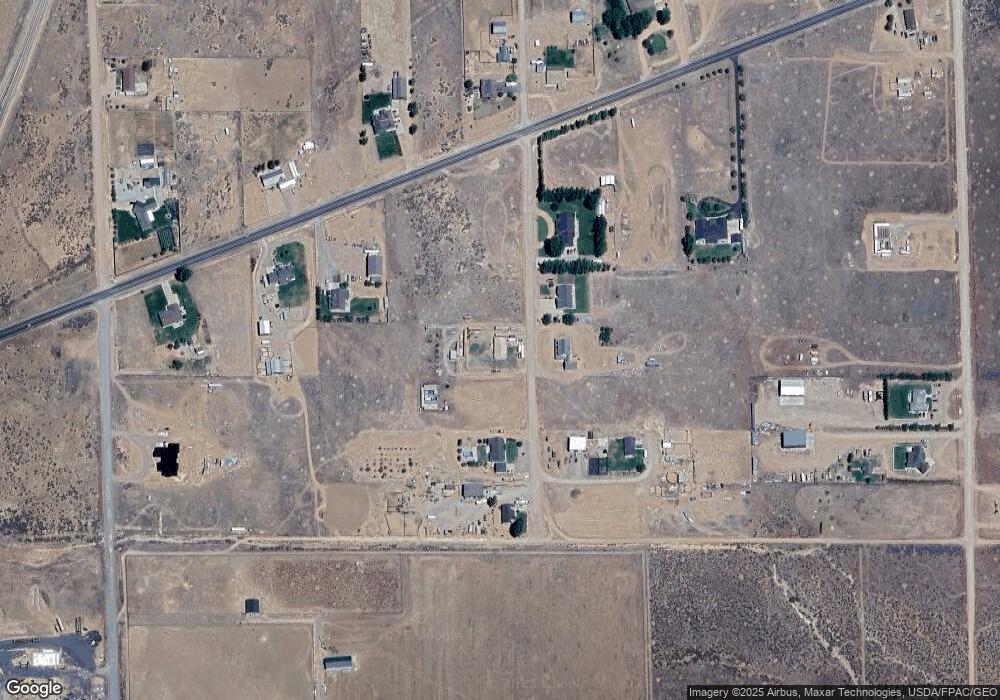
Map
Nearby Homes
- 1165 2800 E
- TBD 15 N 3000 E
- 0 2600 E
- 1300 2600 E Unit 8
- TBD N 2800 E
- TBD N 2800 E Unit Lot 18
- 1380 2800 E
- 2925 Juniper Rd
- 9600 Utah 18
- 950 E 100 N
- 775 E 100 N Unit 56
- 775 E 100 N Unit 48
- 900 E Main St
- 900 E Main St Unit lot 3
- 0 1 21 Acre Parcel #E-Cwr-2-10 Unit 110695
- 0 1 21 Acre Parcel #E-Cwr-2-10 Unit 25-259941
- 925 E Main St Unit lot 4
- 711 E Main St
- 925 E Main St
- 762 E 300 S
- 1188 N 2800 E
- 1224 N 2800 E
- 1143 N 2800 E
- 4 Miles W On Hell's Backbone Rd
- 4 Miles W On Hells' Backbone Rd
- 1268 2800 E
- 2800 E 1100 N
- 1144 2800 E
- 1121 N 2800 E
- 2716 E Bench Rd
- Lot 11 Enterprise Ranchos
- Lot 11 Enterprise
- 1175 N 2800 E
- 2682 E Bench Rd N
- 2886 Bench Rd
- 2789 E Bench Rd
- 2761 Bench Rd
- 2687 E Bench Rd
- 2823 E 1200 N
- 0 2 43 Ac W Well P #Er-5-16-nc Unit 106058
Your Personal Tour Guide
Ask me questions while you tour the home.