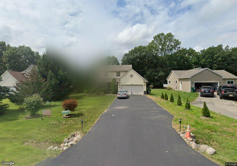
1187 Oakcrest Rd Unit 2 Howell, MI 48843
Estimated Value: $343,116 - $366,000
3
Beds
2
Baths
1,402
Sq Ft
$252/Sq Ft
Est. Value
About This Home
This home is located at 1187 Oakcrest Rd Unit 2, Howell, MI 48843 and is currently estimated at $353,529, approximately $252 per square foot. 1187 Oakcrest Rd Unit 2 is a home located in Livingston County with nearby schools including Northwest Elementary School, Highlander Way Middle School, and Howell High School.
Ownership History
Date
Name
Owned For
Owner Type
Purchase Details
Closed on
Mar 28, 2002
Sold by
Hays Richard M and Hays Jacqueline D
Bought by
Julien Karl A and Julien Lynnette M
Current Estimated Value
Purchase Details
Closed on
Jun 16, 1995
Sold by
Reed & Mcclellan Builder
Bought by
Broad David T and Broad A
Home Financials for this Owner
Home Financials are based on the most recent Mortgage that was taken out on this home.
Original Mortgage
$123,930
Interest Rate
9%
Mortgage Type
VA
Create a Home Valuation Report for This Property
The Home Valuation Report is an in-depth analysis detailing your home's value as well as a comparison with similar homes in the area
Home Values in the Area
Average Home Value in this Area
Purchase History
| Date | Buyer | Sale Price | Title Company |
|---|---|---|---|
| Julien Karl A | $182,000 | Select Title | |
| Broad David T | $121,500 | -- |
Source: Public Records
Mortgage History
| Date | Status | Borrower | Loan Amount |
|---|---|---|---|
| Previous Owner | Broad David T | $123,930 |
Source: Public Records
Tax History
| Year | Tax Paid | Tax Assessment Tax Assessment Total Assessment is a certain percentage of the fair market value that is determined by local assessors to be the total taxable value of land and additions on the property. | Land | Improvement |
|---|---|---|---|---|
| 2025 | $1,336 | $143,100 | $0 | $0 |
| 2024 | $1,298 | $136,900 | $0 | $0 |
| 2023 | $1,240 | $117,700 | $0 | $0 |
| 2022 | $570 | $98,600 | $0 | $0 |
| 2021 | $1,718 | $104,600 | $0 | $0 |
| 2020 | $1,737 | $98,600 | $0 | $0 |
| 2019 | $1,712 | $95,500 | $0 | $0 |
| 2018 | $1,692 | $93,400 | $0 | $0 |
| 2017 | $1,669 | $88,400 | $0 | $0 |
| 2016 | $1,660 | $77,800 | $0 | $0 |
| 2014 | $1,819 | $68,700 | $0 | $0 |
| 2012 | $1,819 | $64,600 | $0 | $0 |
Source: Public Records
Map
Nearby Homes
- 2830 Bonny Brook Dr Unit 3
- VACANT LOT Thompson Shore Dr
- 1570 Princewood Blvd
- 2643 Kerria Dr Unit 65
- 2511 Kerria Dr Unit 42
- 1315 Central Ave
- 2430 Hickory Circle Dr Unit 103
- 571 Cannonade Loop
- 475 Cannonade Loop
- 487 Cannonade Loop
- 559 Cannonade Loop
- 499 Cannonade Loop
- 607 Cannonade Loop
- TBD Cannonade Loop
- 409 Lake St
- 325 Lake St
- 809 N Michigan Ave
- 2160 E Grand River Ave
- 0 Eager Unit 293099
- 106 Lake St
- 1201 Oakcrest Rd Unit 1
- 1173 Oakcrest Rd
- 1161 Oakcrest Rd Unit 4
- 0 Oakcrest Unit 5613076
- 0 Oakcrest Unit 630000036775
- 0 Oakcrest Unit 36775
- 0 Oakcrest Rd
- 0 Oakcrest Unit 36775
- VL Oak Crest #3
- VL Oak Crest #2
- 1213 Oakcrest Rd
- 2496 Eads Place
- 1147 Oakcrest Rd Unit 5
- 2483 Livingston Ave
- 2491 Eads Place
- 2488 Eads Place
- 1217 Oakcrest Rd
- 2475 Livingston Ave
- 1135 Oakcrest Rd
- 2490 Ava
Your Personal Tour Guide
Ask me questions while you tour the home.