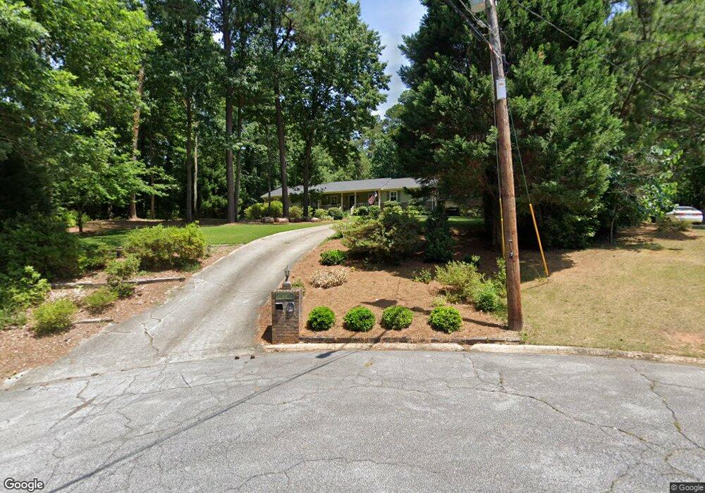
1187 Shadowlawn Dr NE Unit 3 Conyers, GA 30012
Estimated Value: $312,000 - $383,000
3
Beds
3
Baths
2,956
Sq Ft
$118/Sq Ft
Est. Value
About This Home
This home is located at 1187 Shadowlawn Dr NE Unit 3, Conyers, GA 30012 and is currently estimated at $349,704, approximately $118 per square foot. 1187 Shadowlawn Dr NE Unit 3 is a home located in Rockdale County with nearby schools including Hicks Elementary School, Conyers Middle School, and Rockdale County High School.
Ownership History
Date
Name
Owned For
Owner Type
Purchase Details
Closed on
Sep 22, 2004
Sold by
Brown Steve L and Brown Jill
Bought by
Best John G and Best Susan
Current Estimated Value
Home Financials for this Owner
Home Financials are based on the most recent Mortgage that was taken out on this home.
Original Mortgage
$35,160
Interest Rate
5.75%
Mortgage Type
Stand Alone Refi Refinance Of Original Loan
Create a Home Valuation Report for This Property
The Home Valuation Report is an in-depth analysis detailing your home's value as well as a comparison with similar homes in the area
Home Values in the Area
Average Home Value in this Area
Purchase History
| Date | Buyer | Sale Price | Title Company |
|---|---|---|---|
| Best John G | -- | -- |
Source: Public Records
Mortgage History
| Date | Status | Borrower | Loan Amount |
|---|---|---|---|
| Previous Owner | Best John G | $35,160 |
Source: Public Records
Tax History Compared to Growth
Tax History
| Year | Tax Paid | Tax Assessment Tax Assessment Total Assessment is a certain percentage of the fair market value that is determined by local assessors to be the total taxable value of land and additions on the property. | Land | Improvement |
|---|---|---|---|---|
| 2024 | $657 | $125,000 | $30,480 | $94,520 |
| 2023 | $316 | $95,480 | $18,600 | $76,880 |
| 2022 | $2,964 | $90,080 | $18,600 | $71,480 |
| 2021 | $2,953 | $86,160 | $14,680 | $71,480 |
| 2020 | $2,848 | $80,280 | $8,800 | $71,480 |
| 2019 | $2,912 | $80,280 | $8,800 | $71,480 |
| 2018 | $723 | $54,440 | $8,800 | $45,640 |
| 2017 | $1,268 | $48,480 | $8,800 | $39,680 |
| 2016 | $1,198 | $48,480 | $8,800 | $39,680 |
| 2015 | $404 | $46,440 | $8,800 | $37,640 |
| 2014 | $305 | $46,440 | $8,800 | $37,640 |
| 2013 | -- | $59,720 | $12,800 | $46,920 |
Source: Public Records
Map
Nearby Homes
- 1190 Brookside Dr NE
- 1210 Brookside Dr NE
- 1186 Eastview Rd NE
- 1268 Woodland Rd NE
- 121 Wellbrook Ct NE Unit 11
- 1312 Milstead Ave NE
- 1080 Eastview Rd NE
- 1064 Eastview Rd NE
- 1271 Eastview Rd NE
- 126 Wellbrook Ct NE Unit 44
- 1098 Eastview Cir NE
- 584 Oak Ct NW
- 00 Hicks Cir N
- 1128 Milstead Ave NE
- 1001 Woodbridge Way NE
- 1065 Milstead Ave NE
- 1176 Shadowlawn Dr NE Unit JENNINGS MILL RD
- 1176 Shadowlawn Dr NE
- 1199 Brookside Dr NE
- 1182 Shadowlawn Dr NE Unit 3
- 1225 Brookside Dr NE
- 1202 Shadowlawn Dr NE
- 1161 Valley Dr NE
- 1185 Valley Dr NE
- 1175 Valley Dr NE
- 1200 Brookside Dr NE
- 1160 Brookside Dr NE
- 1201 Valley Dr NE
- 1220 Brookside Dr NE
- 1235 Brookside Dr NE
- 1151 Valley Dr NE
- 0 Valley Dr NE Unit 8589360
- 0 Valley Dr NE Unit 8398226
- 0 Valley Dr NE Unit 8188590
- 1154 Eastview Rd NE
- 1125 Smith Cir NE