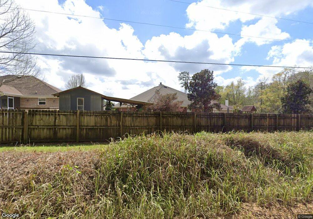
11870 Liberty Cir N Mobile, AL 36608
Outer West Mobile NeighborhoodEstimated Value: $235,205 - $259,000
3
Beds
2
Baths
1,647
Sq Ft
$150/Sq Ft
Est. Value
About This Home
This home is located at 11870 Liberty Cir N, Mobile, AL 36608 and is currently estimated at $247,301, approximately $150 per square foot. 11870 Liberty Cir N is a home located in Mobile County with nearby schools including Taylor White Elementary School, Bernice J Causey Middle School, and Baker High School.
Ownership History
Date
Name
Owned For
Owner Type
Purchase Details
Closed on
Mar 1, 2007
Sold by
Benchmark Homes Inc
Bought by
Evans Donald T
Current Estimated Value
Home Financials for this Owner
Home Financials are based on the most recent Mortgage that was taken out on this home.
Original Mortgage
$123,960
Outstanding Balance
$74,743
Interest Rate
6.19%
Mortgage Type
Purchase Money Mortgage
Estimated Equity
$172,558
Create a Home Valuation Report for This Property
The Home Valuation Report is an in-depth analysis detailing your home's value as well as a comparison with similar homes in the area
Home Values in the Area
Average Home Value in this Area
Purchase History
| Date | Buyer | Sale Price | Title Company |
|---|---|---|---|
| Evans Donald T | $154,950 | None Available |
Source: Public Records
Mortgage History
| Date | Status | Borrower | Loan Amount |
|---|---|---|---|
| Open | Evans Donald T | $123,960 |
Source: Public Records
Tax History Compared to Growth
Tax History
| Year | Tax Paid | Tax Assessment Tax Assessment Total Assessment is a certain percentage of the fair market value that is determined by local assessors to be the total taxable value of land and additions on the property. | Land | Improvement |
|---|---|---|---|---|
| 2024 | $1,150 | $22,680 | $4,000 | $18,680 |
| 2023 | $1,104 | $20,330 | $3,600 | $16,730 |
| 2022 | $823 | $18,350 | $2,990 | $15,360 |
| 2021 | $695 | $15,700 | $2,600 | $13,100 |
| 2020 | $710 | $16,010 | $2,600 | $13,410 |
| 2019 | $700 | $15,820 | $0 | $0 |
| 2018 | $633 | $14,440 | $0 | $0 |
| 2017 | $723 | $14,840 | $0 | $0 |
| 2016 | $660 | $14,980 | $0 | $0 |
| 2013 | $764 | $16,280 | $0 | $0 |
Source: Public Records
Map
Nearby Homes
- 11920 Ives Ln
- 12171 Yancey Glen Dr
- 0 Busby Rd
- 2760 Wildflower Dr W
- 1762 Trail Side Way
- 1734 Trail Side Way
- 1716 Trail Side Way
- 1688 Trail Side Way
- 1674 Trail Side Way
- 1748 Trail Side Way
- 1658 Trail Side Way
- 1717 Plan at Pines of Dawes
- The Kingston Plan at Coxwell Crossing
- 1348 Plan at Pines of Dawes
- 2029 Plan at Pines of Dawes
- 1525 Plan at Pines of Dawes
- 1635-C Plan at Pines of Dawes
- The Avery Plan at Coxwell Crossing
- 1425 Plan at Pines of Dawes
- The Mckenzie Plan at Coxwell Crossing
- 11860 Liberty Cir N
- 11880 Liberty Cir N
- 11850 Liberty Cir N
- 11890 Liberty Cir N
- 11900 Liberty Cir N
- 2111 Liberty Dr E
- 11910 Liberty Cir N
- 2121 Liberty Dr E
- 2131 Liberty Dr E
- 11870 Ives Ln
- 11880 Ives Ln
- 11860 Ives Ln
- 2141 Liberty Dr E
- 11890 Ives Ln
- 2091 Wolf Branch Dr N
- 2090 Wolf Branch Dr N
- 2151 Liberty Dr E
- 11900 Ives Ln
- 2099 Wolf Branch Dr N
- 2161 Liberty Dr E