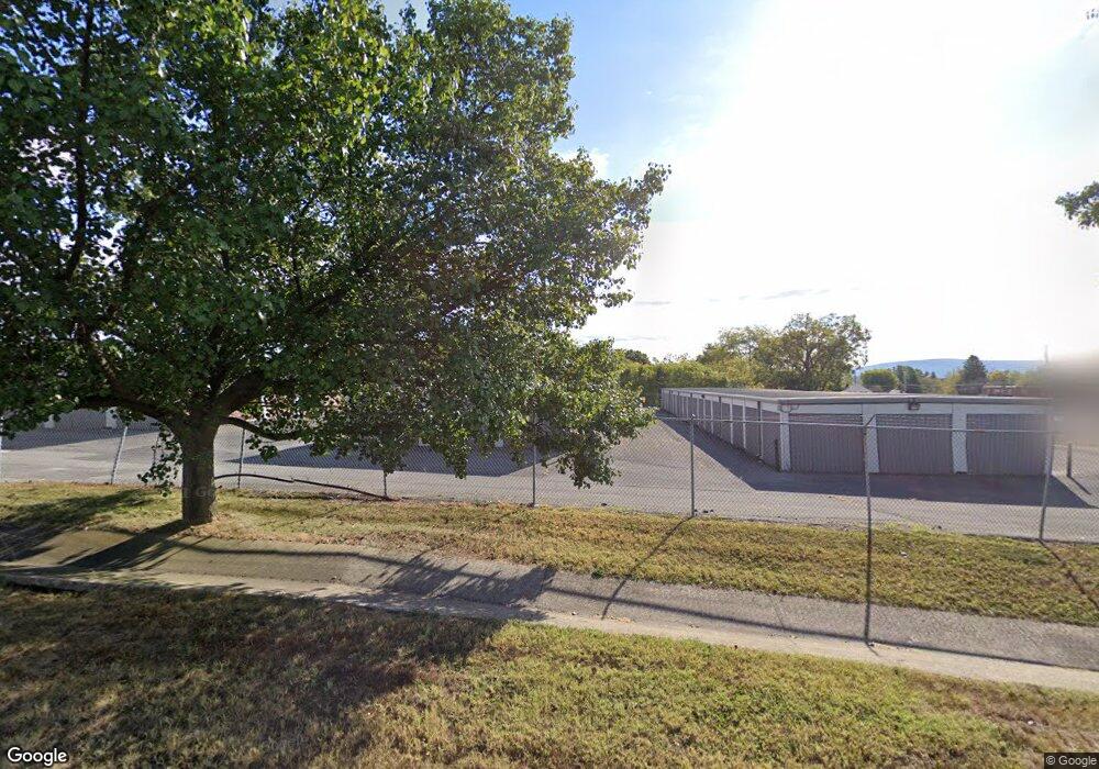
11870 Mutual Dr Waynesboro, PA 17268
Estimated Value: $304,000
--
Bed
--
Bath
--
Sq Ft
14.16
Acres
About This Home
This home is located at 11870 Mutual Dr, Waynesboro, PA 17268 and is currently priced at $304,000. 11870 Mutual Dr is a home located in Franklin County with nearby schools including Waynesboro Area Senior High School, St. Andrew Catholic School, and Noah's Ark Christian Child Care Center.
Ownership History
Date
Name
Owned For
Owner Type
Purchase Details
Closed on
Dec 9, 2021
Sold by
Axis Waynesboro Storage Llc
Bought by
Axis Waynesboro Storage 1 Llc
Current Estimated Value
Home Financials for this Owner
Home Financials are based on the most recent Mortgage that was taken out on this home.
Original Mortgage
$57,799,000
Outstanding Balance
$53,145,661
Interest Rate
3.09%
Mortgage Type
Future Advance Clause Open End Mortgage
Create a Home Valuation Report for This Property
The Home Valuation Report is an in-depth analysis detailing your home's value as well as a comparison with similar homes in the area
Home Values in the Area
Average Home Value in this Area
Purchase History
| Date | Buyer | Sale Price | Title Company |
|---|---|---|---|
| Axis Waynesboro Storage 1 Llc | $1,299,171 | Penn Bridge Land Abstract Ll |
Source: Public Records
Mortgage History
| Date | Status | Borrower | Loan Amount |
|---|---|---|---|
| Open | Axis Waynesboro Storage 1 Llc | $57,799,000 |
Source: Public Records
Tax History Compared to Growth
Tax History
| Year | Tax Paid | Tax Assessment Tax Assessment Total Assessment is a certain percentage of the fair market value that is determined by local assessors to be the total taxable value of land and additions on the property. | Land | Improvement |
|---|---|---|---|---|
| 2025 | $21,163 | $137,770 | $20,200 | $117,570 |
| 2024 | $20,543 | $137,770 | $20,200 | $117,570 |
| 2023 | $19,937 | $137,770 | $20,200 | $117,570 |
| 2022 | $19,345 | $137,770 | $20,200 | $117,570 |
| 2021 | $18,794 | $137,770 | $20,200 | $117,570 |
| 2020 | $18,505 | $137,770 | $20,200 | $117,570 |
| 2019 | $1,033 | $137,770 | $20,200 | $117,570 |
Source: Public Records
Map
Nearby Homes
- 5377 Harrier Way
- 5385 Harrier Way
- TBD Whippet Trail
- TBD Harrier Way
- 12041 Koons Rd
- 4798 Gray Hawk Dr Unit 17
- 12152 Red Hawk Dr
- 4594 Salem Church Rd
- 6287 Marsh Rd
- 6668 Marsh Rd
- 607 Chicory Spring Ct
- 462 Scott Ave Unit 4
- 217 Fairview Ave
- 105 Fairview Ave
- 417 Fairview Ave
- 0 Westview Ave
- 220 Cleveland Ave
- 130 Hamilton Ave
- 336 Fairmount Ave
- 5163 Buchanan Trail E
- 5165 Design Ave
- 5130 Buchanan Trail E
- 5335 Tick Ridge Rd
- 5060 Buchanan Trail E
- 5045 Buchanan Trail E
- 5021 Buchanan Trail E
- 5239 Buchanan Trail E
- 5095 Tick Ridge Rd
- 5238 Buchanan Trail E
- 1222 Polktown Rd
- 0 Polktown Rd Unit FL8004751
- 0 Polktown Rd Unit PAFL172008
- 8 Polktown Rd
- 0 Polktown Rd Unit 1000143423
- 5005 Buchanan Trail E
- 5261 Buchanan Trail E
- 5261 Buchanan Trail E Unit B
- 11870 Village Heights Dr
- 11880 Village Heights Dr