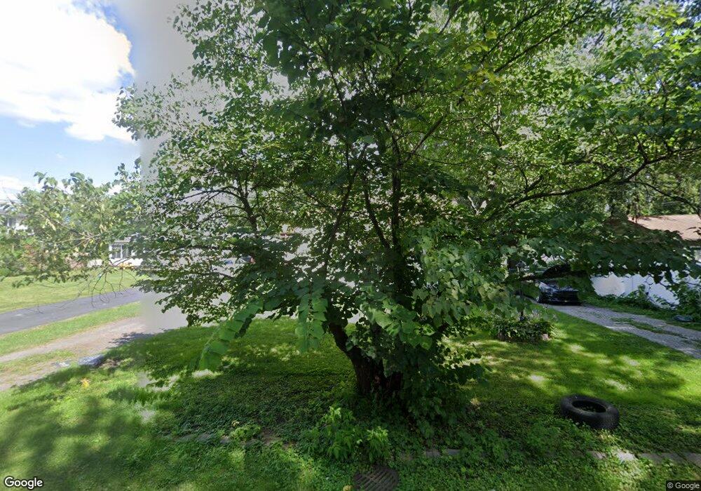
11879 Polk St Unit Bldg-Unit Taylor, MI 48180
Estimated Value: $180,000 - $217,000
4
Beds
2
Baths
1,197
Sq Ft
$166/Sq Ft
Est. Value
About This Home
This home is located at 11879 Polk St Unit Bldg-Unit, Taylor, MI 48180 and is currently estimated at $198,717, approximately $166 per square foot. 11879 Polk St Unit Bldg-Unit is a home located in Wayne County with nearby schools including Bernice Mcdowell Elementary School, Robert J. West Middle School, and Cabrini Elementary & Middle School.
Ownership History
Date
Name
Owned For
Owner Type
Purchase Details
Closed on
Feb 1, 2018
Sold by
Lemus Linda Sue and Amezcua Luara
Bought by
Ostoff Kaylea
Current Estimated Value
Home Financials for this Owner
Home Financials are based on the most recent Mortgage that was taken out on this home.
Original Mortgage
$93,279
Outstanding Balance
$79,986
Interest Rate
4.5%
Mortgage Type
FHA
Estimated Equity
$118,731
Purchase Details
Closed on
Nov 1, 2009
Sold by
Res Distressed Asset Fund Ix Llc
Bought by
Lemus Linda Sue
Purchase Details
Closed on
Jun 2, 2009
Sold by
Deutsche Bank National Trust Company
Bought by
Res Distressed Asset Fund Ix Llc
Purchase Details
Closed on
Mar 6, 2008
Sold by
Ingram Robert C and Ingram Gayle
Bought by
Deutsche Bank National Trust Co and Ameriquest Mortgage Securities Inc Asset
Create a Home Valuation Report for This Property
The Home Valuation Report is an in-depth analysis detailing your home's value as well as a comparison with similar homes in the area
Home Values in the Area
Average Home Value in this Area
Purchase History
| Date | Buyer | Sale Price | Title Company |
|---|---|---|---|
| Ostoff Kaylea | $95,000 | First American Title | |
| Lemus Linda Sue | $18,000 | None Available | |
| Res Distressed Asset Fund Ix Llc | $8,308 | None Available | |
| Deutsche Bank National Trust Co | $119,588 | None Available |
Source: Public Records
Mortgage History
| Date | Status | Borrower | Loan Amount |
|---|---|---|---|
| Open | Ostoff Kaylea | $93,279 |
Source: Public Records
Tax History Compared to Growth
Tax History
| Year | Tax Paid | Tax Assessment Tax Assessment Total Assessment is a certain percentage of the fair market value that is determined by local assessors to be the total taxable value of land and additions on the property. | Land | Improvement |
|---|---|---|---|---|
| 2025 | $2,435 | $93,600 | $0 | $0 |
| 2024 | $2,435 | $86,800 | $0 | $0 |
| 2023 | $2,942 | $73,100 | $0 | $0 |
| 2022 | $2,324 | $64,700 | $0 | $0 |
| 2021 | $2,581 | $58,100 | $0 | $0 |
| 2020 | $2,544 | $53,800 | $0 | $0 |
| 2019 | $270,281 | $47,700 | $0 | $0 |
| 2018 | $1,488 | $39,200 | $0 | $0 |
| 2017 | $834 | $38,500 | $0 | $0 |
| 2016 | $1,864 | $37,500 | $0 | $0 |
| 2015 | $3,363 | $35,700 | $0 | $0 |
| 2013 | $3,360 | $35,000 | $0 | $0 |
| 2012 | $1,484 | $34,400 | $9,700 | $24,700 |
Source: Public Records
Map
Nearby Homes
- 20950 Brest
- 11785 Mortenview Dr
- 12606 Weddel St
- 11187 Ziegler St
- 12391 First Ave S
- 11348 Afton Rd
- 10854 Allen Rd
- 10578 Island Lake Dr
- 10409 Lakeview Dr
- 00 Allen Rd
- 11106 Oaklawn St
- 17405 Raleigh Square Dr Unit 76
- 10820 Balfour Ave
- 10219 Island Lake Dr
- 10272 Island Lake Dr
- 11187 Pardee Rd
- 16185 Goddard Rd
- 22654 Cloverlawn St
- 20710 Superior Rd
- 10109 Allen Pointe Dr Unit 129
