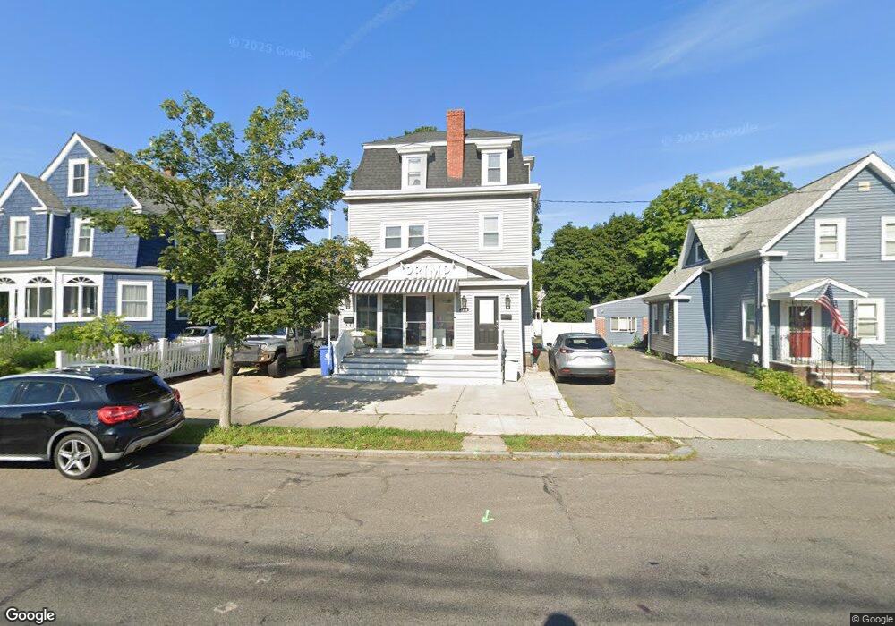
1188 Main St Unit 1 Wakefield, MA 01880
Greenwood NeighborhoodEstimated Value: $764,441
Studio
2
Baths
9,999
Sq Ft
$76/Sq Ft
Est. Value
About This Home
This home is located at 1188 Main St Unit 1, Wakefield, MA 01880 and is currently estimated at $764,441, approximately $76 per square foot. 1188 Main St Unit 1 is a home located in Middlesex County with nearby schools including Wakefield Memorial High School, Melrose Montessori School, and St Mary's School.
Ownership History
Date
Name
Owned For
Owner Type
Purchase Details
Closed on
Apr 1, 2021
Sold by
Solimine Rt and Solimine
Bought by
1188 Main St 2021 T and Solimine
Current Estimated Value
Home Financials for this Owner
Home Financials are based on the most recent Mortgage that was taken out on this home.
Original Mortgage
$460,000
Outstanding Balance
$410,796
Interest Rate
3%
Mortgage Type
New Conventional
Estimated Equity
$353,645
Purchase Details
Closed on
Jan 15, 2016
Sold by
1188 Main Street Ft and Drita
Bought by
Solimine Rt and Solimine
Home Financials for this Owner
Home Financials are based on the most recent Mortgage that was taken out on this home.
Original Mortgage
$297,250
Interest Rate
3.97%
Mortgage Type
Commercial
Purchase Details
Closed on
Aug 1, 2006
Sold by
Drita Lindita
Bought by
1188 Main Street Ft and Drita
Purchase Details
Closed on
Jun 17, 2003
Sold by
Mccarthy Gregory Allen
Bought by
Drita Lindita
Home Financials for this Owner
Home Financials are based on the most recent Mortgage that was taken out on this home.
Original Mortgage
$180,000
Interest Rate
5.77%
Mortgage Type
Commercial
Create a Home Valuation Report for This Property
The Home Valuation Report is an in-depth analysis detailing your home's value as well as a comparison with similar homes in the area
Home Values in the Area
Average Home Value in this Area
Purchase History
| Date | Buyer | Sale Price | Title Company |
|---|---|---|---|
| 1188 Main St 2021 T | -- | None Available | |
| Solimine Rt | $410,000 | -- | |
| 1188 Main Street Ft | -- | -- | |
| 1188 Main Street Ft | -- | -- | |
| Drita Lindita | $290,000 | -- | |
| Drita Lindita | $290,000 | -- |
Source: Public Records
Mortgage History
| Date | Status | Borrower | Loan Amount |
|---|---|---|---|
| Open | 1188 Main St 2021 T | $460,000 | |
| Previous Owner | Solimine Rt | $297,250 | |
| Previous Owner | Drita Lindita | $180,000 | |
| Previous Owner | Drita Lindita | $40,000 |
Source: Public Records
Tax History
| Year | Tax Paid | Tax Assessment Tax Assessment Total Assessment is a certain percentage of the fair market value that is determined by local assessors to be the total taxable value of land and additions on the property. | Land | Improvement |
|---|---|---|---|---|
| 2025 | -- | $640,800 | $307,900 | $332,900 |
| 2024 | -- | $634,400 | $304,800 | $329,600 |
| 2023 | $0 | $576,300 | $276,900 | $299,400 |
| 2022 | $0 | $489,500 | $254,000 | $235,500 |
| 2021 | $0 | $465,500 | $229,300 | $236,200 |
| 2020 | $8,233 | $445,000 | $219,200 | $225,800 |
| 2019 | $0 | $419,800 | $206,800 | $213,000 |
| 2018 | -- | $386,400 | $194,600 | $191,800 |
| 2017 | -- | $373,300 | $188,000 | $185,300 |
| 2016 | -- | $374,200 | $184,800 | $189,400 |
| 2015 | -- | $356,700 | $176,200 | $180,500 |
| 2014 | -- | $349,700 | $172,700 | $177,000 |
Source: Public Records
Map
Nearby Homes
- 104 Myrtle Ave
- 7 West St
- 9 Ledge St
- 176 Bay State Rd
- 34 Golden Hills Rd
- 89 Lovell Rd
- 15 Hickory Hill Rd
- 93 Sweetwater St
- 11 Ludlow Ave
- 81 Spring St
- 60 Franklin St Unit 60
- 58 Franklin St Unit 58
- 24 Ellsworth Ave
- 601 Franklin St Unit 2
- 9 Lovis Ave
- 12 Lovis Ave
- 51 Melrose St Unit 4D
- 51 Melrose St Unit 1C
- 51 Melrose St Unit 1A
- 824 Main St Unit 1
Your Personal Tour Guide
Ask me questions while you tour the home.