11881 N Us Highway 51 Carbondale, IL 62901
Estimated Value: $115,000 - $138,000
1
Bed
--
Bath
1,216
Sq Ft
$105/Sq Ft
Est. Value
About This Home
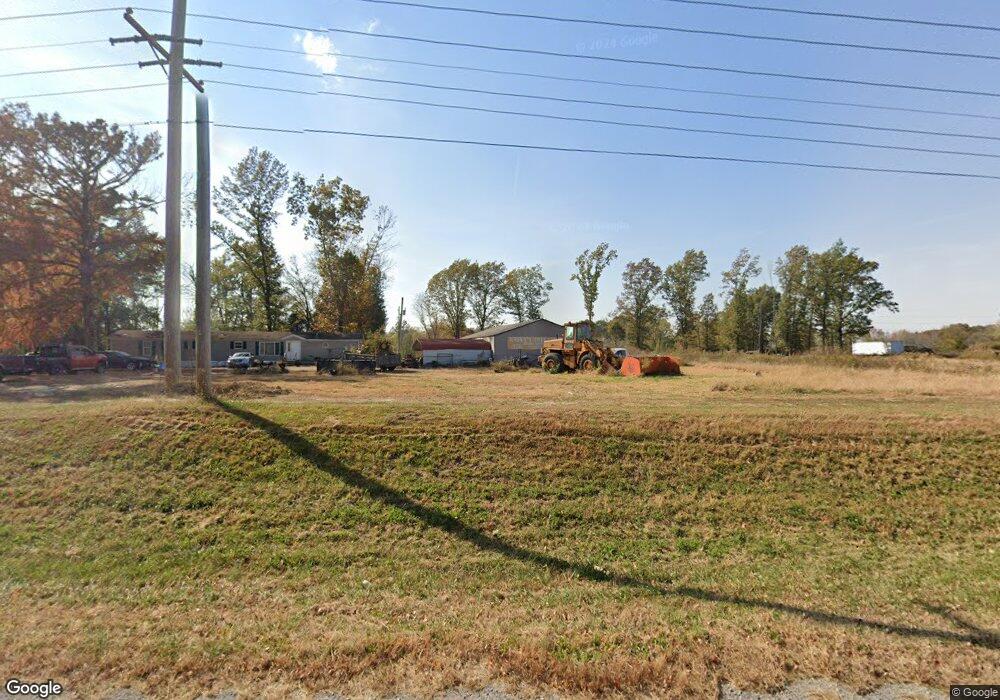
This home is located at 11881 N Us Highway 51, Carbondale, IL 62901 and is currently estimated at $127,682, approximately $105 per square foot. 11881 N Us Highway 51 is a home located in Jackson County with nearby schools including Parrish Elementary School, Thomas Elementary School, and Lewis School.
Ownership History
Date
Name
Owned For
Owner Type
Purchase Details
Closed on
May 24, 2019
Sold by
Joseph Jencon Lt
Bought by
Kasky Tree Service Llc
Current Estimated Value
Purchase Details
Closed on
Jun 7, 2005
Sold by
Jencon Joseph J and Jencon Janis
Bought by
Jencon Joseph and Jencon Janis
Purchase Details
Closed on
Feb 16, 2005
Sold by
Stalcup Ed H
Bought by
Jencon Joseph J and Jencon Janis
Create a Home Valuation Report for This Property
The Home Valuation Report is an in-depth analysis detailing your home's value as well as a comparison with similar homes in the area
Home Values in the Area
Average Home Value in this Area
Purchase History
| Date | Buyer | Sale Price | Title Company |
|---|---|---|---|
| Kasky Tree Service Llc | $67,000 | -- | |
| Jencon Joseph | -- | None Available | |
| Jencon Joseph J | $150,000 | None Available |
Source: Public Records
Tax History Compared to Growth
Tax History
| Year | Tax Paid | Tax Assessment Tax Assessment Total Assessment is a certain percentage of the fair market value that is determined by local assessors to be the total taxable value of land and additions on the property. | Land | Improvement |
|---|---|---|---|---|
| 2024 | $1,839 | $18,113 | $8,126 | $9,987 |
| 2023 | $1,721 | $16,406 | $7,360 | $9,046 |
| 2022 | $1,664 | $15,146 | $6,795 | $8,351 |
| 2021 | $1,643 | $14,410 | $6,465 | $7,945 |
| 2020 | $1,594 | $14,665 | $6,579 | $8,086 |
| 2019 | $867 | $8,365 | $6,331 | $2,034 |
| 2018 | $840 | $8,728 | $6,606 | $2,122 |
| 2017 | $834 | $8,771 | $6,606 | $2,165 |
| 2016 | $813 | $8,771 | $6,606 | $2,165 |
| 2015 | -- | $8,792 | $6,606 | $2,186 |
| 2014 | -- | $8,792 | $6,606 | $2,186 |
| 2012 | -- | $8,972 | $6,741 | $2,231 |
Source: Public Records
Map
Nearby Homes
- 1950 N Illinois Ave
- 2479 New Era Rd
- 000 Delaware Rd
- 2525 Edgewood Ln
- 632 E Searing St
- 913 N Carico St
- 924 N Almond St
- 813 N James St
- 000 Glenn Rd
- 724 N Carico St
- 1007 W Willow St
- 720 N Carico St
- 620 N Almond St
- 715 N Carico St
- 607 N Almond St Unit Front House
- 607 N Almond St Unit 1
- 616 N Oakland Ave
- 000 Business
- 408 W Chestnut St
- 502 W Chestnut St
- 11881 U S 51
- 11795 U S 51
- 5273 S U Highway 51
- 11757 N Us Highway 51
- 100 Dillinger Rd
- 9535 U S 51
- 12055 N Us Highway 51
- 110 Dillinger Rd
- 0 Dillinger Unit MRD11432621
- 0 Dillinger Unit 22037980
- 200 Dillinger Rd
- 210 Dillinger Rd
- 220 Dillinger Rd
- 36 Airport Rd
- 2250 N Illinois Ave
- 2240 N Illinois Ave
- 2370 N McRoy Dr
- 2220 N Illinois Ave
- 300 Dillinger Rd
- 2200 N Illinois Ave