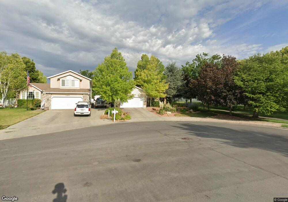
11884 S Pay Dirt Cir Unit 426 Herriman, UT 84096
Estimated Value: $561,000 - $601,000
3
Beds
2
Baths
2,898
Sq Ft
$202/Sq Ft
Est. Value
About This Home
This home is located at 11884 S Pay Dirt Cir Unit 426, Herriman, UT 84096 and is currently estimated at $585,660, approximately $202 per square foot. 11884 S Pay Dirt Cir Unit 426 is a home located in Salt Lake County with nearby schools including Midas Creek Elementary School, Copper Mountain Middle School, and Herriman High School.
Ownership History
Date
Name
Owned For
Owner Type
Purchase Details
Closed on
Apr 30, 2008
Sold by
Dutson Lorin L and Dutson Christine M
Bought by
Dutson Lorin L and Dutson Christine M
Current Estimated Value
Purchase Details
Closed on
Jan 31, 2005
Sold by
Boyle Jason J and Boyle Telly
Bought by
Dutson Lorin L and Dutson Christine M
Home Financials for this Owner
Home Financials are based on the most recent Mortgage that was taken out on this home.
Original Mortgage
$77,000
Interest Rate
5.08%
Mortgage Type
Purchase Money Mortgage
Purchase Details
Closed on
Nov 26, 2001
Sold by
Boyle Jason J
Bought by
Boyle Jason J and Boyle Telly
Home Financials for this Owner
Home Financials are based on the most recent Mortgage that was taken out on this home.
Original Mortgage
$146,658
Interest Rate
6.63%
Mortgage Type
FHA
Create a Home Valuation Report for This Property
The Home Valuation Report is an in-depth analysis detailing your home's value as well as a comparison with similar homes in the area
Home Values in the Area
Average Home Value in this Area
Purchase History
| Date | Buyer | Sale Price | Title Company |
|---|---|---|---|
| Dutson Lorin L | -- | Mountainside Title Ins Agcy | |
| Dutson Lorin L | -- | First American Title | |
| Boyle Jason J | -- | Superior Title |
Source: Public Records
Mortgage History
| Date | Status | Borrower | Loan Amount |
|---|---|---|---|
| Closed | Dutson Lorin L | $77,000 | |
| Previous Owner | Boyle Jason J | $146,658 |
Source: Public Records
Tax History Compared to Growth
Tax History
| Year | Tax Paid | Tax Assessment Tax Assessment Total Assessment is a certain percentage of the fair market value that is determined by local assessors to be the total taxable value of land and additions on the property. | Land | Improvement |
|---|---|---|---|---|
| 2025 | $3,232 | $546,500 | $139,900 | $406,600 |
| 2024 | $3,232 | $530,100 | $135,400 | $394,700 |
| 2023 | $3,273 | $508,000 | $126,500 | $381,500 |
| 2022 | $3,338 | $516,600 | $124,000 | $392,600 |
| 2021 | $2,911 | $395,500 | $96,400 | $299,100 |
| 2020 | $2,711 | $347,200 | $96,400 | $250,800 |
| 2019 | $2,721 | $342,600 | $96,400 | $246,200 |
| 2018 | $2,569 | $318,500 | $90,200 | $228,300 |
| 2017 | $2,440 | $299,100 | $90,200 | $208,900 |
| 2016 | $2,364 | $278,000 | $90,200 | $187,800 |
| 2015 | $2,312 | $263,500 | $91,900 | $171,600 |
| 2014 | $2,228 | $248,700 | $87,600 | $161,100 |
Source: Public Records
Map
Nearby Homes
- 11915 Goldsmith Ct
- 11768 S Copper Sky Dr
- 11838 S Silver Trace Cir
- 12668 S Lincoln Peak Ln Unit 109
- 12674 S Lincoln Peak Ln
- 12674 S Lincoln Peak Ln Unit 111
- 12676 S Lincoln Peak Ln
- 12676 S Lincoln Peak Ln Unit 112
- 12682 S Lincoln Peak Ln
- 12682 S Lincoln Peak Ln Unit 113
- 12686 Lincoln Peak Ln
- 12688 S Lincoln Peak Ln Unit 115
- 12688 S Lincoln Peak Ln
- 4911 Calton Ln
- 12694 S Lincoln Peak Ln Unit 116
- 12694 S Lincoln Peak Ln
- 12667 S Lincoln Peak Ln Unit 132
- 12667 S Lincoln Peak Ln Unit 125
- 12667 S Lincoln Peak Ln
- 12671 S Lincoln Peak Ln Unit 131
- 11884 S Pay Dirt Cir
- 11885 Quarry Ridge Cove
- 11885 S Quarry Ridge Cove
- 11884 Pay Dirt Cir
- 11894 Pay Dirt Cir
- 11894 S Pay Dirt Cir
- 11897 S Quarry Ridge Cove
- 11897 Quarry Ridge Cove
- 4689 W Copper Mine Dr
- 4689 Copper Mine Dr
- 4697 Copper Mine Dr
- 4697 W Copper Mine Dr
- 4681 Copper Mine Dr
- 4697 W Copper Mine Dr Unit 345
- 11904 Pay Dirt Cir
- 4707 Copper Mine Dr
- 4707 W Copper Mine Dr
- 11907 Quarry Ridge Cove
- 4667 Copper Mine Dr
- 11914 Pay Dirt Cir