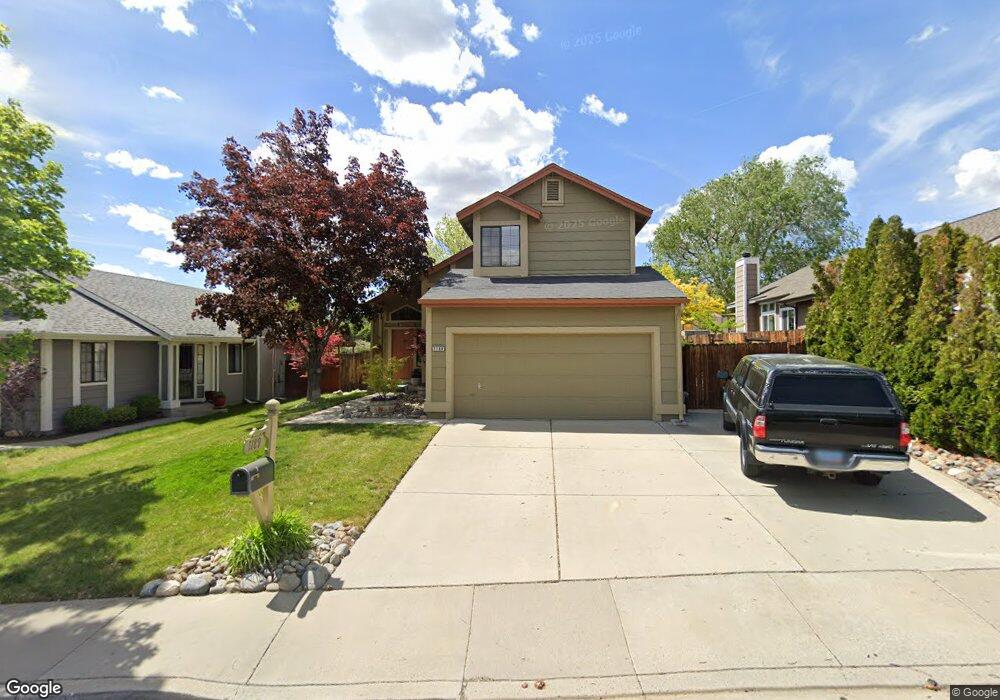
1189 Backer Way Reno, NV 89523
Mae Anne Avenue NeighborhoodEstimated Value: $538,000 - $554,000
3
Beds
3
Baths
1,601
Sq Ft
$340/Sq Ft
Est. Value
About This Home
This home is located at 1189 Backer Way, Reno, NV 89523 and is currently estimated at $545,011, approximately $340 per square foot. 1189 Backer Way is a home located in Washoe County with nearby schools including Sarah Winnemucca Elementary School, B D Billinghurst Middle School, and Robert McQueen High School.
Ownership History
Date
Name
Owned For
Owner Type
Purchase Details
Closed on
Jun 25, 2001
Sold by
Bratcher Bratcher Dawn C Dawn C and Bratcher Gustin Dawn C
Bought by
Gustin Jimmie G and Bratcher Dawn C
Current Estimated Value
Purchase Details
Closed on
Dec 17, 1993
Sold by
Bratcher Dawn C and Gustin Jimmie
Bought by
Bratcher Dawn C
Home Financials for this Owner
Home Financials are based on the most recent Mortgage that was taken out on this home.
Original Mortgage
$125,494
Interest Rate
7.2%
Mortgage Type
FHA
Create a Home Valuation Report for This Property
The Home Valuation Report is an in-depth analysis detailing your home's value as well as a comparison with similar homes in the area
Home Values in the Area
Average Home Value in this Area
Purchase History
| Date | Buyer | Sale Price | Title Company |
|---|---|---|---|
| Gustin Jimmie G | -- | -- | |
| Bratcher Dawn C | -- | Comstock Title Company |
Source: Public Records
Mortgage History
| Date | Status | Borrower | Loan Amount |
|---|---|---|---|
| Closed | Bratcher Dawn C | $125,494 |
Source: Public Records
Tax History Compared to Growth
Tax History
| Year | Tax Paid | Tax Assessment Tax Assessment Total Assessment is a certain percentage of the fair market value that is determined by local assessors to be the total taxable value of land and additions on the property. | Land | Improvement |
|---|---|---|---|---|
| 2025 | $2,363 | $89,346 | $39,340 | $50,006 |
| 2024 | $2,406 | $86,332 | $35,595 | $50,737 |
| 2023 | $2,406 | $85,839 | $37,520 | $48,319 |
| 2022 | $2,229 | $72,042 | $31,605 | $40,437 |
| 2021 | $2,234 | $62,248 | $21,735 | $40,513 |
| 2020 | $2,102 | $61,748 | $20,895 | $40,853 |
| 2019 | $2,003 | $60,500 | $20,755 | $39,745 |
| 2018 | $1,947 | $54,229 | $15,085 | $39,144 |
| 2017 | $1,868 | $53,487 | $14,070 | $39,417 |
| 2016 | $1,821 | $53,060 | $12,670 | $40,390 |
| 2015 | $1,817 | $51,653 | $11,095 | $40,558 |
| 2014 | $1,758 | $49,651 | $9,975 | $39,676 |
| 2013 | -- | $46,445 | $7,245 | $39,200 |
Source: Public Records
Map
Nearby Homes
- 1255 Silver Crest Cir
- 1500 Backer Way
- 5870 Blue Horizon Dr
- 5830 Blue Horizon Dr
- 5895 Blue Horizon Dr
- 6087 White Water Way
- 1659 Shadow Park Dr
- 5878 Grand Row Way
- 5882 Grand Row Way Unit Lot 61
- 1627 Prancer St Unit Lot 50
- 1627 Prancer St
- 1615 Prancer St Unit Lot 53
- 0 Simons Dr
- 1689 Shadow Park Dr
- Walker Plan at Monarch
- Humboldt Plan at Monarch
- 1618 Icelandic Way Unit Lot 67
- 1618 Icelandic Way
- 1626 Icelandic Way
- 1639 Prancer St Unit Lot 47
- 1185 Backer Way
- 1191 Backer Way
- 1197 Backer Way Unit 2
- 1186 Backer Way
- 1190 Backer Way
- 1199 Backer Way
- 1178 Backer Way
- 5830 Lindsay Dr
- 5820 Lindsay Dr
- 5821 Lindsay Dr
- 5810 Lindsay Dr
- 5813 Lindsay Dr
- 5893 Bankside Way
- 5885 Bankside Way
- 5901 Bankside Way
- 5877 Bankside Way
- 5808 Lindsay Dr
- 5809 Lindsay Dr
- 5869 Bankside Way
- 5911 Bankside Way