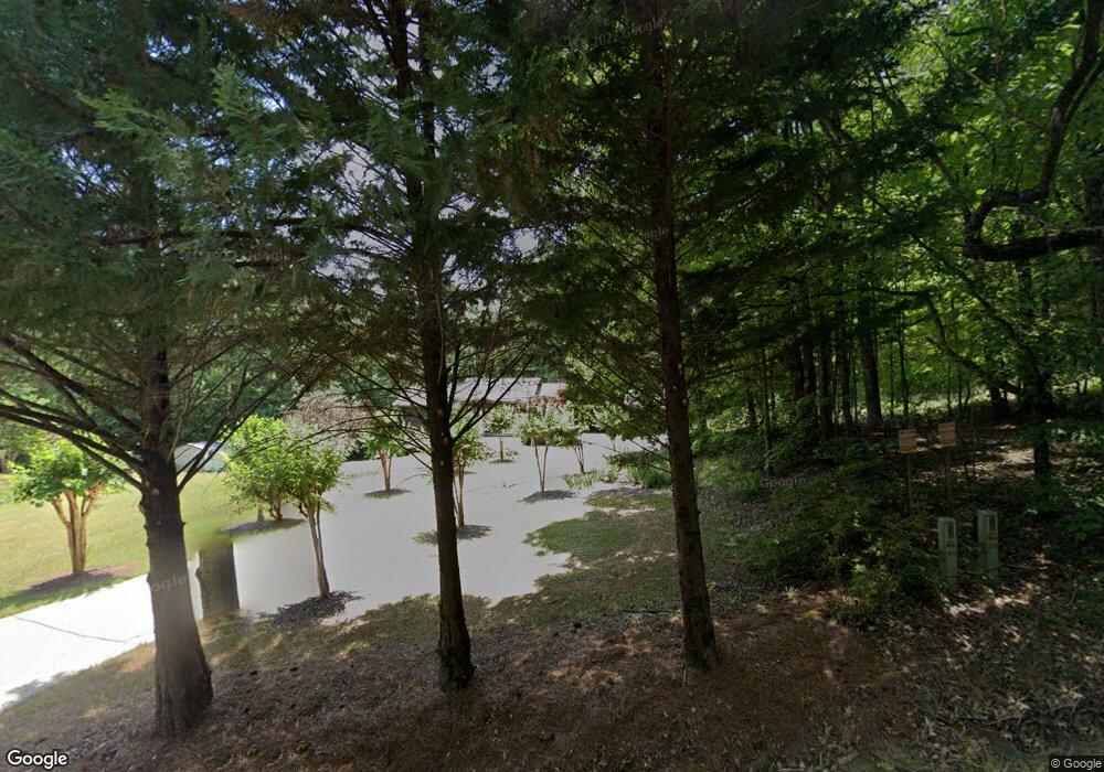
1189 Rock Quarry Cir Toccoa, GA 30577
Estimated Value: $254,000 - $391,000
3
Beds
2
Baths
2,912
Sq Ft
$101/Sq Ft
Est. Value
About This Home
This home is located at 1189 Rock Quarry Cir, Toccoa, GA 30577 and is currently estimated at $293,244, approximately $100 per square foot. 1189 Rock Quarry Cir is a home with nearby schools including Stephens County High School.
Ownership History
Date
Name
Owned For
Owner Type
Purchase Details
Closed on
Nov 1, 2006
Sold by
Turner Savonda R
Bought by
Sheppard Roger Dale
Current Estimated Value
Purchase Details
Closed on
Apr 13, 2004
Bought by
Sheppard Roger Dale
Purchase Details
Closed on
Mar 20, 2002
Bought by
<Buyer Info Not Present>
Purchase Details
Closed on
May 8, 2000
Bought by
<Buyer Info Not Present>
Purchase Details
Closed on
Jun 1, 1996
Bought by
<Buyer Info Not Present>
Purchase Details
Closed on
May 1, 1988
Bought by
<Buyer Info Not Present>
Create a Home Valuation Report for This Property
The Home Valuation Report is an in-depth analysis detailing your home's value as well as a comparison with similar homes in the area
Purchase History
| Date | Buyer | Sale Price | Title Company |
|---|---|---|---|
| Sheppard Roger Dale | -- | -- | |
| Sheppard Roger Dale | $131,000 | -- | |
| <Buyer Info Not Present> | -- | -- | |
| <Buyer Info Not Present> | $129,000 | -- | |
| <Buyer Info Not Present> | $97,000 | -- | |
| <Buyer Info Not Present> | $83,000 | -- |
Source: Public Records
Tax History
| Year | Tax Paid | Tax Assessment Tax Assessment Total Assessment is a certain percentage of the fair market value that is determined by local assessors to be the total taxable value of land and additions on the property. | Land | Improvement |
|---|---|---|---|---|
| 2025 | $1,226 | $96,225 | $4,034 | $92,191 |
| 2024 | $873 | $63,723 | $4,034 | $59,689 |
| 2023 | $725 | $59,234 | $4,034 | $55,200 |
| 2022 | $630 | $56,042 | $4,034 | $52,008 |
| 2021 | $1,560 | $51,888 | $4,034 | $47,854 |
| 2020 | $1,560 | $51,412 | $4,034 | $47,378 |
| 2019 | $1,428 | $47,044 | $4,034 | $43,010 |
| 2018 | $1,428 | $47,044 | $4,034 | $43,010 |
| 2017 | $1,451 | $47,044 | $4,034 | $43,010 |
| 2016 | $1,428 | $47,043 | $4,033 | $43,009 |
| 2015 | $1,492 | $46,935 | $4,033 | $42,902 |
| 2014 | $1,534 | $47,424 | $4,034 | $43,390 |
| 2013 | -- | $47,553 | $4,033 | $43,520 |
Source: Public Records
Map
Nearby Homes
- 1241 W Currahee St
- 69 Easy St
- 2003 W Currahee St
- 258 Persimmon St
- 10 Busha St
- 51 Busha St
- 481 W Currahee St
- 120 S Pine St
- 2146 Bend N Hickory Rd
- 335 Easy St
- 168 Yearwood St
- 1886 Bend N Hickory Rd
- 48 Owen St
- 198 S Broad St
- 288 S Broad St
- 75 Cawthon Rd
- 27 Rock Quarry Rd
- 0 Trestle Ridge Rd Unit 10654142
- 98 Wood St
- 18 W Currahee St
- 59 Wildwood Trail
- 79 Rice Mountain Dr
- Lot 58 Wildwood Trail
- 3.75 AC Wildwood Rd
- 0 Wildwood Trail Unit 58 8656708
- 0 Wildwood Trail Unit 58 8491680
- 1066 Rock Quarry Cir
- 1362 Rock Quarry Cir
- 31 Rice Mountain Dr
- 916 Rock Quarry Cir
- 35 Rice Mountain Dr
- 1617 Rock Quarry Cir
- 95 Summit Ridge Dr
- 92 Summit Ridge Dr
- 91 Summit Ridge Dr
- 32 Summit Ridge Dr
- 30 Summit Ridge Dr
- 29 Summit Ridge Dr
- 445 Cliffs Ridge Dr
- 0 Summit Ridge Unit TR A 7179890
