11893 Sheehan Rd West Fork, AR 72774
Estimated Value: $284,200 - $320,000
Studio
--
Bath
2,006
Sq Ft
$149/Sq Ft
Est. Value
About This Home
This home is located at 11893 Sheehan Rd, West Fork, AR 72774 and is currently estimated at $299,800, approximately $149 per square foot. 11893 Sheehan Rd is a home with nearby schools including West Fork Elementary School, West Fork Middle School, and West Fork High School.
Ownership History
Date
Name
Owned For
Owner Type
Purchase Details
Closed on
Jun 9, 2008
Sold by
Freedom Distribution Llc
Bought by
Faux Le Roy and Campo Darlene D
Current Estimated Value
Home Financials for this Owner
Home Financials are based on the most recent Mortgage that was taken out on this home.
Original Mortgage
$117,221
Outstanding Balance
$74,680
Interest Rate
6.08%
Mortgage Type
Purchase Money Mortgage
Estimated Equity
$225,120
Create a Home Valuation Report for This Property
The Home Valuation Report is an in-depth analysis detailing your home's value as well as a comparison with similar homes in the area
Purchase History
| Date | Buyer | Sale Price | Title Company |
|---|---|---|---|
| Faux Le Roy | $25,000 | Gulf South Title Company |
Source: Public Records
Mortgage History
| Date | Status | Borrower | Loan Amount |
|---|---|---|---|
| Open | Faux Le Roy | $117,221 |
Source: Public Records
Tax History
| Year | Tax Paid | Tax Assessment Tax Assessment Total Assessment is a certain percentage of the fair market value that is determined by local assessors to be the total taxable value of land and additions on the property. | Land | Improvement |
|---|---|---|---|---|
| 2025 | $593 | $41,070 | $15,050 | $26,020 |
| 2024 | $641 | $41,070 | $15,050 | $26,020 |
| 2023 | $669 | $41,070 | $15,050 | $26,020 |
| 2022 | $713 | $22,940 | $4,920 | $18,020 |
| 2021 | $668 | $22,940 | $4,920 | $18,020 |
| 2020 | $623 | $22,940 | $4,920 | $18,020 |
| 2019 | $578 | $18,770 | $3,820 | $14,950 |
| 2018 | $603 | $18,770 | $3,820 | $14,950 |
| 2017 | $437 | $16,880 | $3,820 | $13,060 |
| 2016 | $480 | $16,880 | $3,820 | $13,060 |
| 2015 | $395 | $16,880 | $3,820 | $13,060 |
| 2014 | $359 | $14,634 | $3,620 | $11,014 |
Source: Public Records
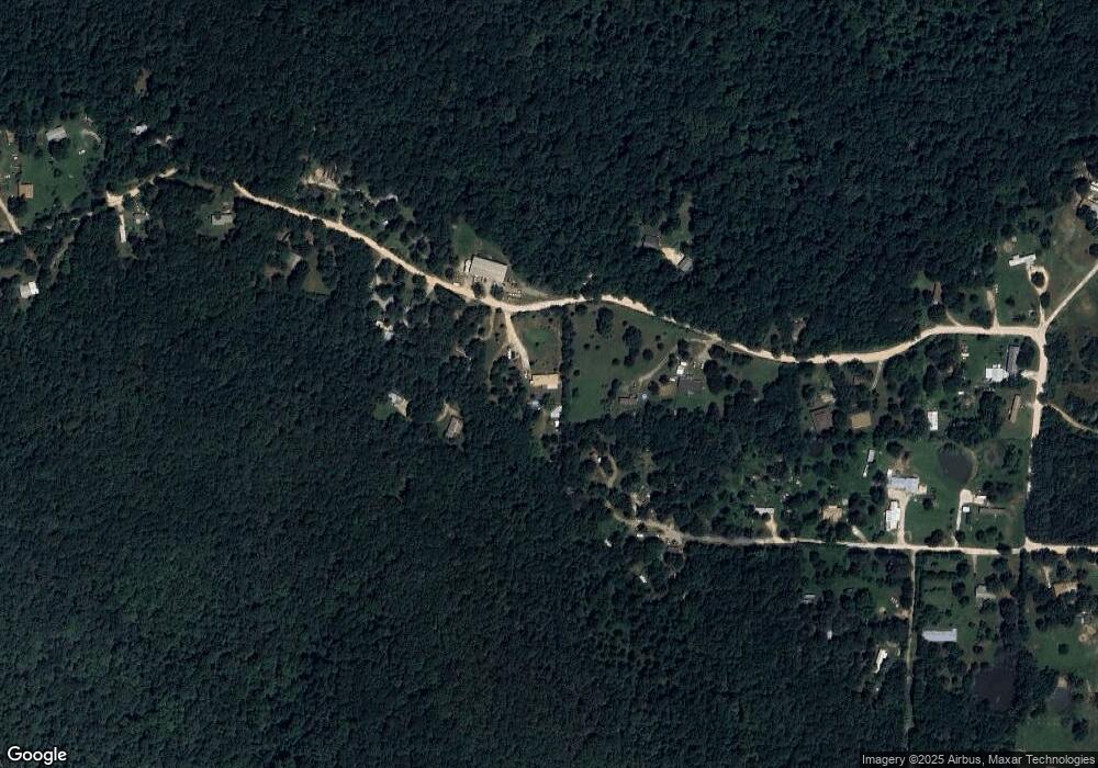
Map
Nearby Homes
- 14682 Director Rd
- 10815 156 Rd
- 14931 Friendship Church Rd
- 14516 Friendship Church Rd
- 00 Hubbard Rd
- 12685 N Billingsley Rd
- 14117 Hogeye Rd
- 17102 Malico Mountain Rd
- 17110 Malico Mountain Rd
- 16977 Holcombe School Rd
- 16891 Holcombe School Rd
- 14673 Union Star Rd
- 16085 S Highway 265
- 0 Pioneer (Wc 3280) Rd Unit 1329392
- 13653 W Mountain Rd
- 12283 Pine Tree Rd
- 10768 Wooton Rd
- 14753 Cove Creek Rd N
- 12060 Sheehan Rd
- 11790 Fresno Rd
- 12026 Sheehan Rd
- 11895 Fresno Rd
- 12080 Sheehan Rd
- 11850 Fresno Rd
- 11864 Sheehan Rd
- 12109 Sheehan Rd
- 12064 Sheehan Rd
- 11867 Sheehan Rd
- 11836 Fresno Rd
- 12175 Sheehan Rd
- 11796 Fresno Rd
- 11791 Sheehan Rd
- 12189 Sheehan Rd
- 11753 Sheehan Rd
- 11787 Fresno Rd
- 12233 Sheehan Rd
- 12179 Sheehan Rd
- 11739 Sheehan Rd
Your Personal Tour Guide
Ask me questions while you tour the home.